This item has closed with no items sold
View other items offered by maxtrust63
Antique Map
Secondhand
Indicative market price: R30,000
R8,000.00
73% OFF
Closed
3 Jun 24 23:46
Shipping
Standard courier shipping from R30
R30 Standard shipping using one of our trusted couriers applies to most areas in South Africa. Some areas may attract a R30 surcharge. This will be calculated at checkout if applicable.
Check my rate
Check my rate
Ready to ship in
The seller has indicated that they will usually have this item
ready to ship within 3 business days. Shipping time depends on your delivery address. The most
accurate delivery time will be calculated at checkout, but in
general, the following shipping times apply:
Standard Delivery
| Main centres: | 1-3 business days |
| Regional areas: | 3-4 business days |
| Remote areas: | 3-5 business days |
Get it now, pay later
Seller
Buyer Protection
Product details
Condition
Secondhand
Location
South Africa
Bob Shop ID
614361819
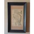
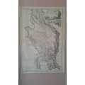
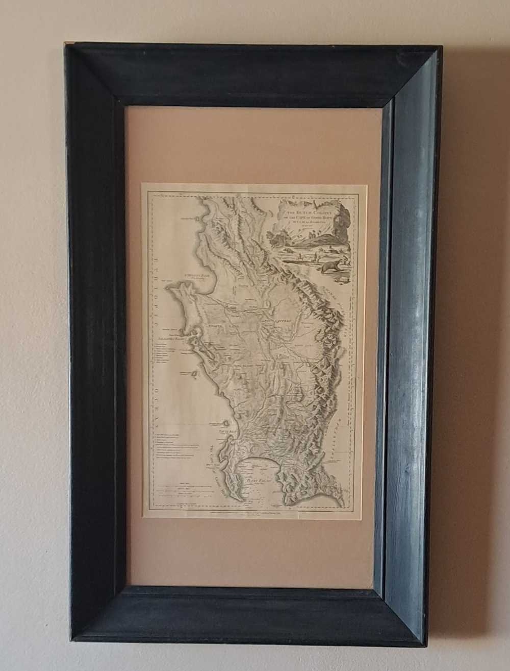
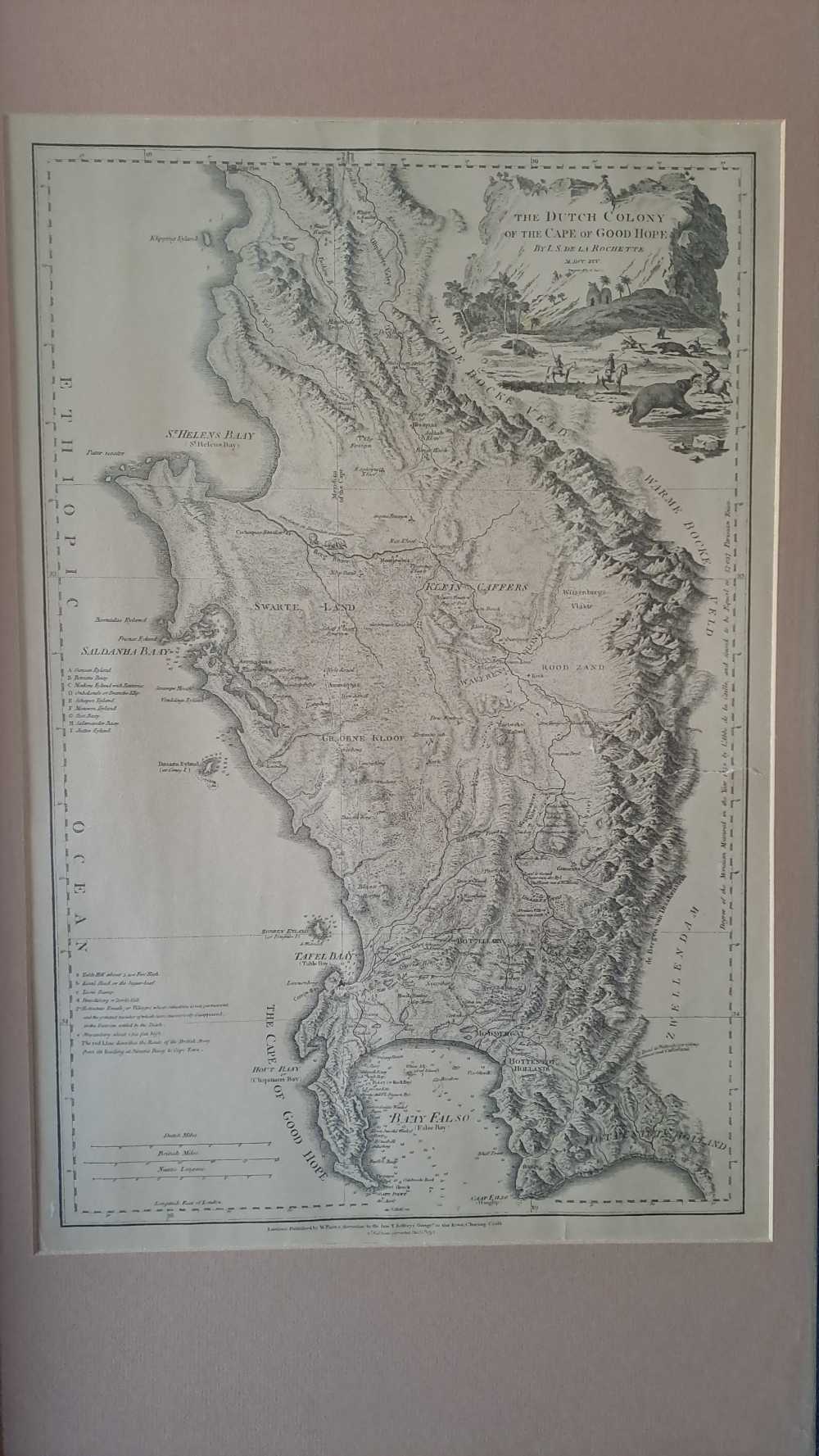
Antique map of The Dutch Colony of the Cape of Good Hope. L.S. De La Rochette, 1795.The map gives an idea of contemporary knowledge of the area from "Klipping Eyland" to "Cape Falso". Of note is the addition in this edition of "Muyzenberg about 1300 feet high." About 20 farms and settlements are named as well as Constantia and Stellen bosch. The Drakenstein mountains form the eastern boundary of the Cape.The cartouche is a cliff bearing the title with palms, huts and an elephant in the foreground. Note: small tear to the right of the map (barely visible)