This item has closed with no items sold
View the relisted Item
View the relisted Item
View other items offered by gregsact1875
Similar products
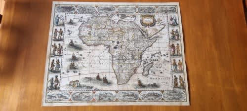
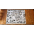
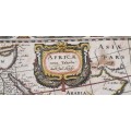
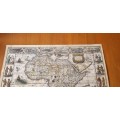
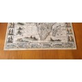
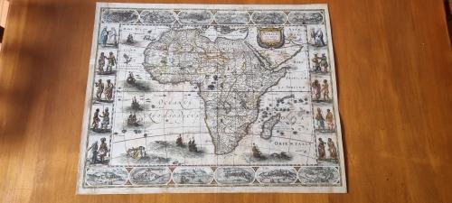
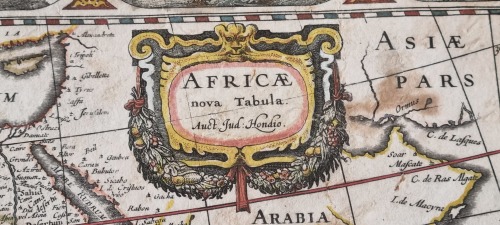
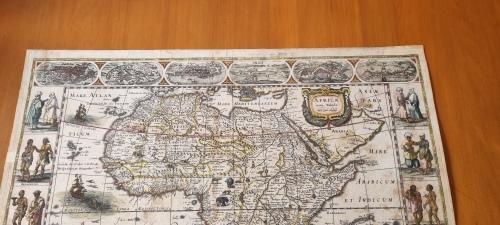
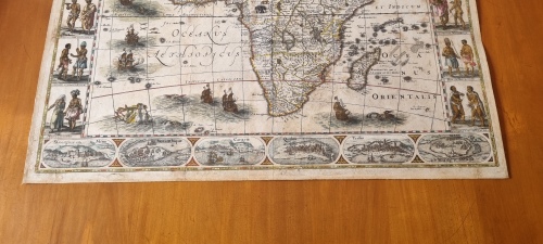
Africae nova Tabula. First State (c.1606) with contemporary hand colour. Africa Map, 1606 original
Secondhand
R99,000
Closed
4 Jun 24 16:46
Shipping
Standard courier shipping from R30
R30 Standard shipping using one of our trusted couriers applies to most areas in South Africa. Some areas may attract a R30 surcharge. This will be calculated at checkout if applicable.
Check my rate
Check my rate
Free collection from
Newlands, Cape Town
The seller allows collection for this item and will be in contact with the full collection address once the order is ready.
Ready for collection by Wednesday, 12 June.
Ready to ship in
The seller has indicated that they will usually have this item
ready to ship within 3 business days. Shipping time depends on your delivery address. The most
accurate delivery time will be calculated at checkout, but in
general, the following shipping times apply:
Standard Delivery
| Main centres: | 1-3 business days |
| Regional areas: | 3-4 business days |
| Remote areas: | 3-5 business days |
Seller
Buyer Protection
Product details
Condition
Secondhand
Location
South Africa
Area
Africa
Time Period
Pre-1800s
Type
Other
Bob Shop ID
614394344
Hondius, Jodocus ( Joost de Hondt ) (1563-1612 )
About this Item
This is the original large size first state of the celebrated Hondius map. It measures about 62cm by 49 cm within the clearly visible indent. Margins extend just beyond the indent. Contemporary hand colour, well-executed, enhances the map considerably. The twelve town vignettes top and bottom, which were removed from later states of the map, all have clearly legible names, as do the ten vignettes of the figures on the margins left and right. The paper has been stabilized and de-acidified and the map has been removed from most of its original thick card backing, such that paper again has some flexibility. The map has been carefully restored such that there is no loss of all the fantastic detail: seven ships, monsters, flying fish, animals Neptune, etc. The paper is browned in some areas and there are signs of repair of closed tears and rubbed areas. Seller Inventory # 80054