
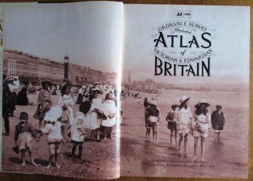
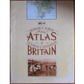
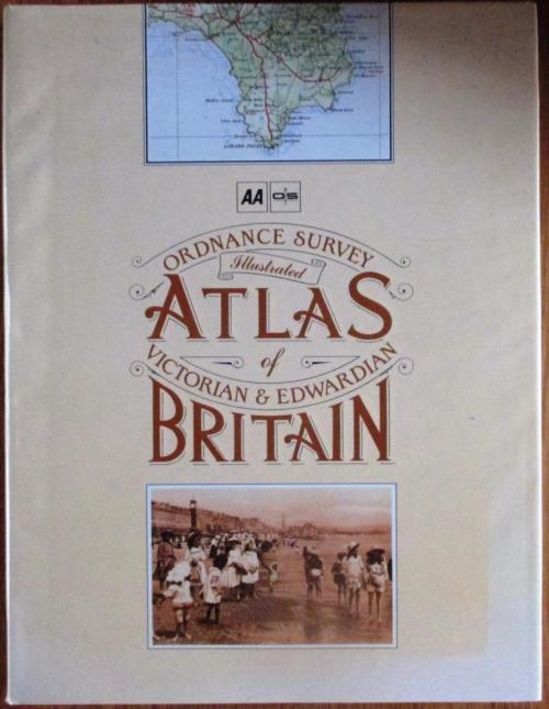
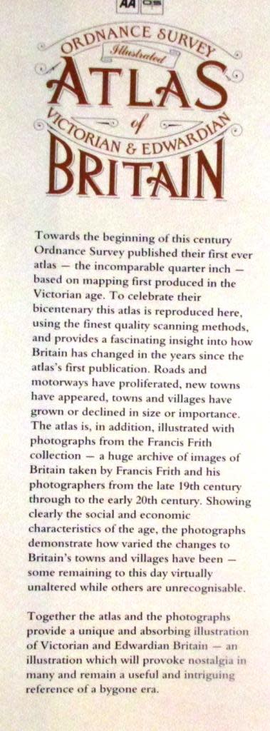
Ordnance Survey Illustrated Atlas of Victorian & Edwardian Britain
Secondhand
Shipping
Standard courier shipping from R30
R30 Standard shipping using one of our trusted couriers applies to most areas in South Africa. Some areas may attract a R30 surcharge. This will be calculated at checkout if applicable.
Check my rate
Check my rate
Ready to ship in
The seller has indicated that they will usually have this item
ready to ship within 3 business days. Shipping time depends on your delivery address. The most
accurate delivery time will be calculated at checkout, but in
general, the following shipping times apply:
Standard Delivery
| Main centres: | 1-3 business days |
| Regional areas: | 3-4 business days |
| Remote areas: | 3-5 business days |
Get it now, pay later
Seller
Buyer Protection
Product details
Condition
Secondhand
Location
South Africa
Product code
190238 - U15
Bob Shop ID
614742580
Very good book in a very good dustjacket
Folio sized book
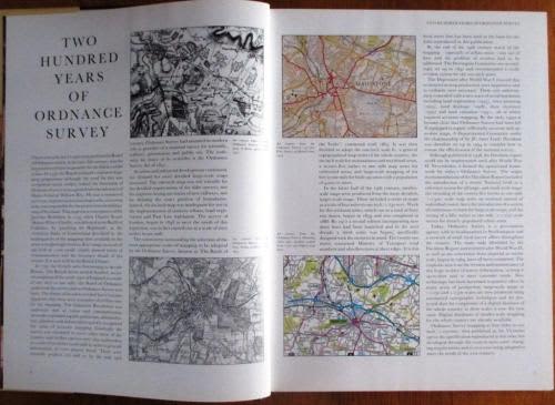
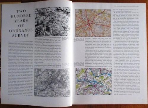
Published to celebrate the bicentenary of the publication of Ordnance Survey's first map.
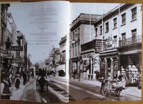
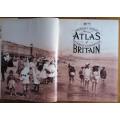
208 pages of text reprinted maps and copious illustrations from the Francis Frith photographic archives of Britain taken from the late 19th century through to the early 20th century.
HEAVY BOOK (2.8Kg), SELECT PARGO DELIVERY