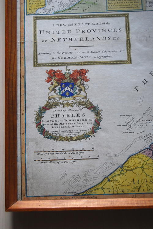
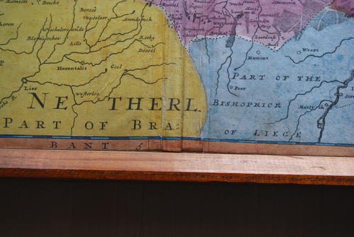
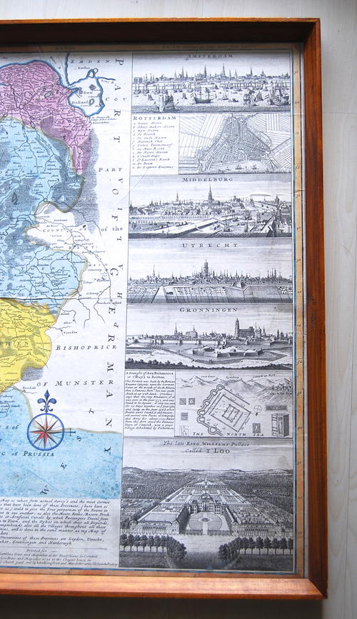
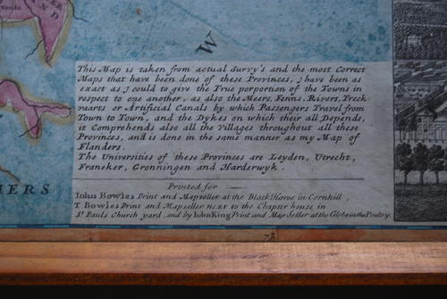
1720`S MAP OF UNITED PROVINCES OF NETHERLANDS BY HERMAN MOLL
Secondhand
Shipping
Standard courier shipping from R30
R30 Standard shipping using one of our trusted couriers applies to most areas in South Africa. Some areas may attract a R30 surcharge. This will be calculated at checkout if applicable.
Check my rate
Check my rate
Ready to ship in
The seller has indicated that they will usually have this item
ready to ship within 3 business days. Shipping time depends on your delivery address. The most
accurate delivery time will be calculated at checkout, but in
general, the following shipping times apply:
Standard Delivery
| Main centres: | 1-3 business days |
| Regional areas: | 3-4 business days |
| Remote areas: | 3-5 business days |
Get it now, pay later
Seller
Buyer Protection
Product details
Condition
Secondhand
Location
South Africa
Type
Other
Product code
T5.0
Bob Shop ID
615601054
TITLE: 1720'S MAP OF UNITED PROVINCES OF NETHERLANDS BY HERMAN MOLL DESCRIPTION: FRAMED 107 CM X 65 CM LARGE MAP . HAND PAINTED BEAUTIFUL ANTIQUE MAP FEEDBACK: I TYPICALLY WAIT UNTIL ITEM IS RECEIVED BY THE WINNING BIDDER PRIOR TO POSTING FEEDBACK. THIS ALLOWS BOTH PARTIES TIME TO RESOLVE ANY ISSUES THAT MAY ARISE WITH ANY GIVEN TRANSACTION. |