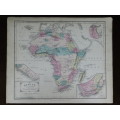
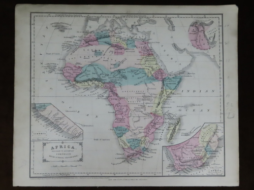
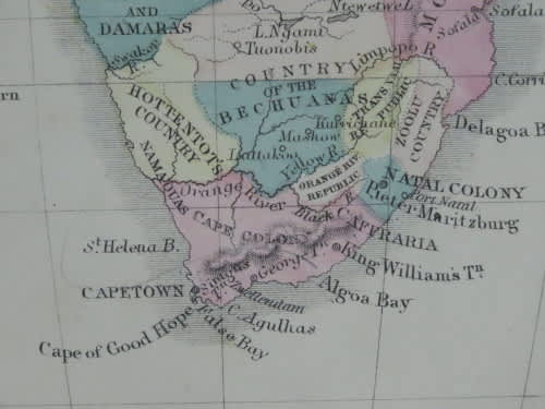
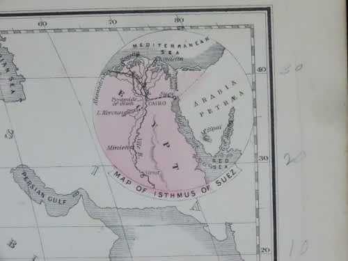
1855 Map of Africa, Excellent Condition, Original Cornell Antique Map
Secondhand
Shipping
Standard courier shipping from R30
R30 Standard shipping using one of our trusted couriers applies to most areas in South Africa. Some areas may attract a R30 surcharge. This will be calculated at checkout if applicable.
Check my rate
Check my rate
Ready to ship in
The seller has indicated that they will usually have this item
ready to ship within 3 business days. Shipping time depends on your delivery address. The most
accurate delivery time will be calculated at checkout, but in
general, the following shipping times apply:
Standard Delivery
| Main centres: | 1-3 business days |
| Regional areas: | 3-4 business days |
| Remote areas: | 3-5 business days |
Buyer Protection
How you're covered
Get it now, pay later
Product information
Condition:
Secondhand
Location:
South Africa
Area:
Africa
Time Period:
1800s
Type:
Political Map
Product code:
BB10352
Bob Shop ID:
613834271
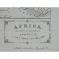
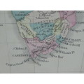
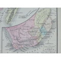
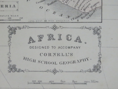
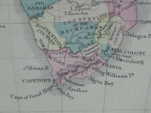
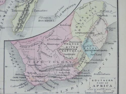
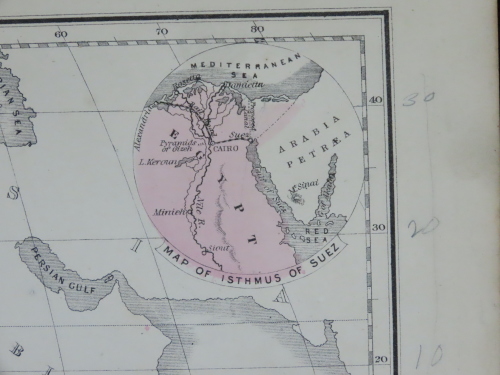
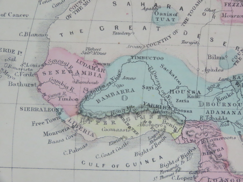
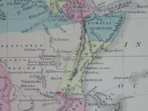
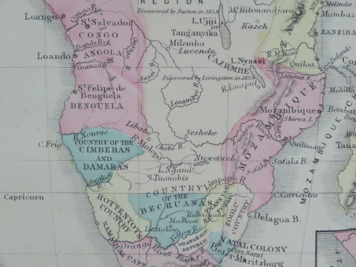
Africa
1855 Original Map
Excellent Condition
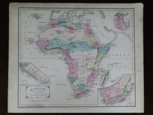
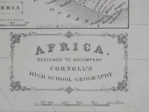


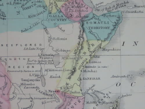
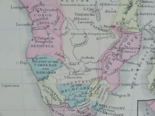
The map is an original 1855 issue and NOT a reproduction.
It measures 345mm x 280mm in total
The paper is crisp and responsive to handling but shows some age related discolouration, but no foxing is seen. Hand coloured regions with all colours still strong with only slight signs of fading. No tears or folding though the top right corner is dogeared. Engraved by SS Cornell for publication in Cornell's High School Geography in 1855 and published by D Appleton & Co, New York. Maps of Greece with Turkey and Persia as well as India on the back.