
Antique Map of Jamaica by John Tallis 1851
Secondhand
Shipping
Standard courier shipping from R30
R30 Standard shipping using one of our trusted couriers applies to most areas in South Africa. Some areas may attract a R30 surcharge. This will be calculated at checkout if applicable.
Check my rate
Check my rate
Free collection from
Kuils River, Cape Town
The seller allows collection for this item and will be in contact with the full collection address once the order is ready.
Ready for collection by Monday, 20 May.
Ready to ship in
The seller has indicated that they will usually have this item
ready to ship within 3 business days. Shipping time depends on your delivery address. The most
accurate delivery time will be calculated at checkout, but in
general, the following shipping times apply:
Standard Delivery
| Main centres: | 1-3 business days |
| Regional areas: | 3-4 business days |
| Remote areas: | 3-5 business days |
Returns
Get it now, pay later
Seller
Buyer Protection
Product details
Condition
Secondhand
Location
South Africa
Area
The Americas
Time Period
1800s
Type
Political Map
Bob Shop ID
613915654
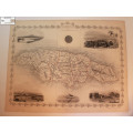
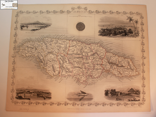
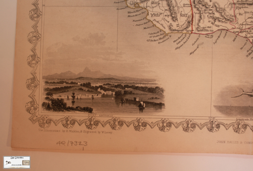
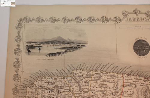
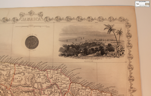
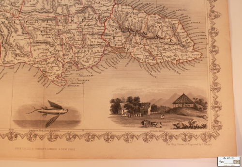
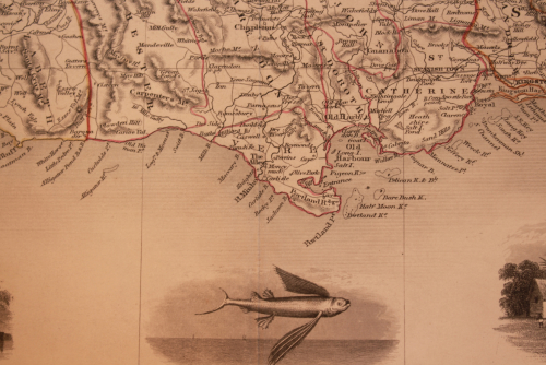
Title: Antique Map of Jamaica by John Tallis 1851
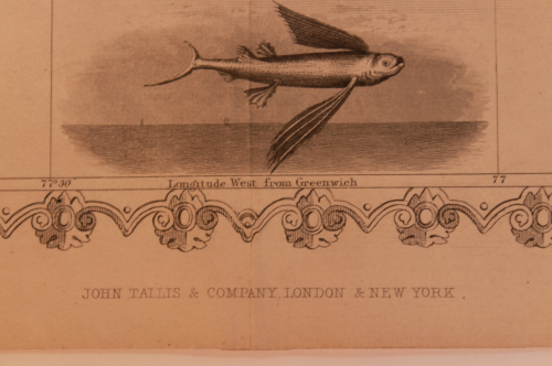
Publisher: John Tallis and Company, London and New York.
Format: Engraved Line Drawing.
Year: Circa 1851.
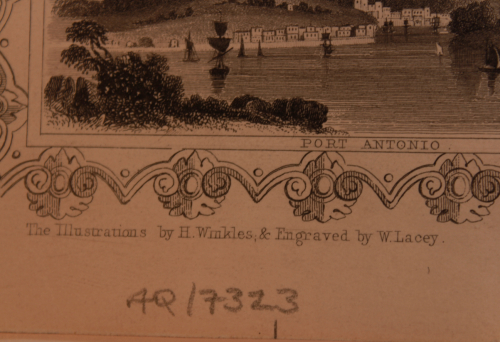
Info: The Illustrations By H Winkles and Engraved by W Lacey.
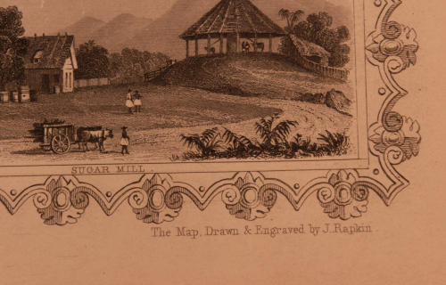
Engraving: The Map drawn and engraved by J Rapkin.
John Tallis (1817-1876) was an English cartographic publisher. Although he only produced one atlas, he is nevertheless one of the best known and regarded of 19th century map makers. His Illustrated Atlas of the World, published for the 1851 Great Exhibition, is regarded as the last of the truly decorative atlases, the maps prized for their ornate borders and fascinating inset vignette views. These maps, which were drawn and engraved by John Rapkin, were first brought together within The British Colonies (1849), which included many of the maps subsequently included in the Illustrated Atlas. He is also noted for his London Street views (1838-1840), which is now very hard to find.
In 1857, he offered to purchase The Illustrated London News from Herbert Ingram. His approach was rejected, and he set up The Illustrated News of the World in competition. This proved to be an ill-timed investment which resulted in his bankruptcy in 1861, and by 1875 he was reduced to mortgaging his furniture. He traded under various names including L Tallis, Tallis and Co, John Tallis & Company, and later the London Printing and Publishing Company which also published many decorative steel engraved views and portraits featuring Talliss trademark decorative borders. He was born in Stourbridge, Worcestershire in 1817, and moved to London in about 1841. A blue plaque commemorates his final residence at 233, New Cross Road.
Size: 36cm x 27 cm.
Condition: Very Good, with fold down middle.
Map: Original release.
Price: R 1450.00 Inc Vat.
![]()