This item has closed 1 buyer bought 1 item
View other items offered by CapeCollectables1035
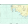
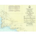
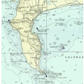
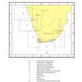
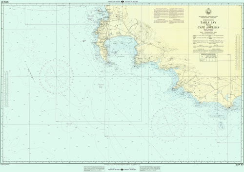
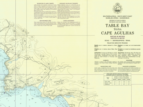
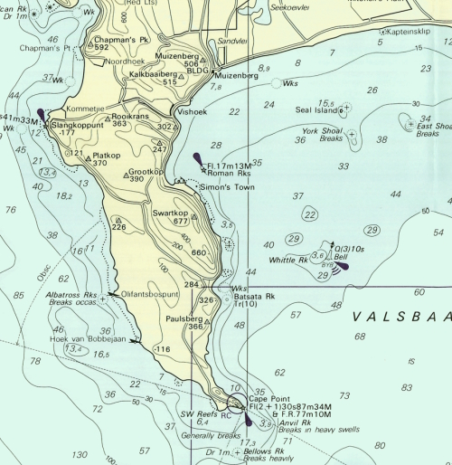
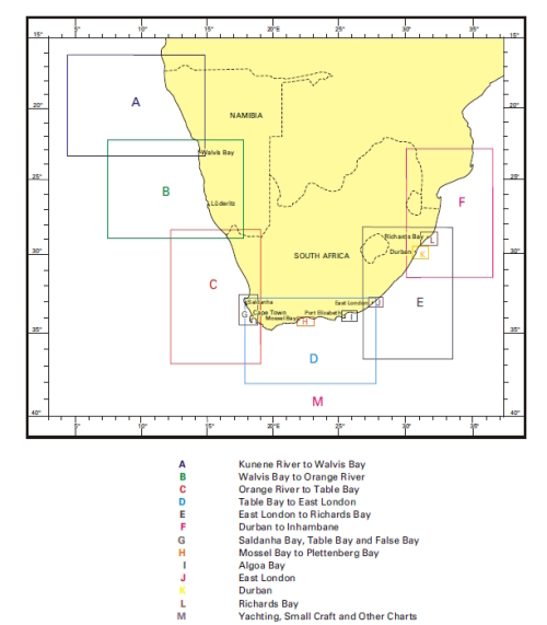
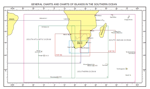
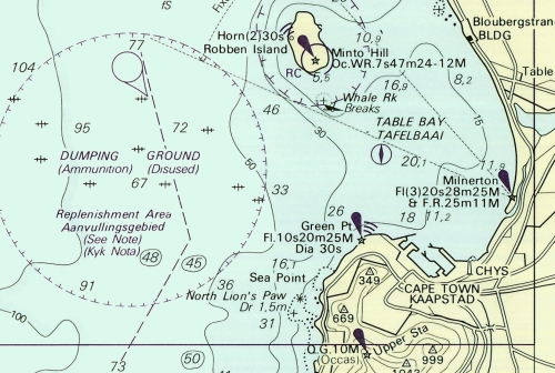
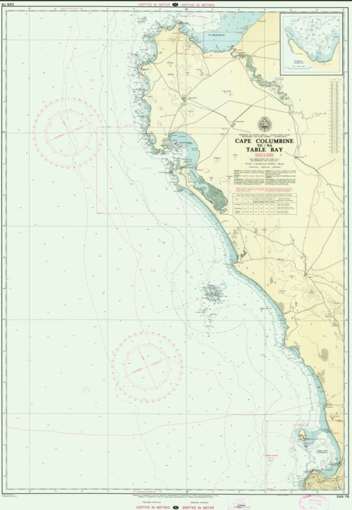
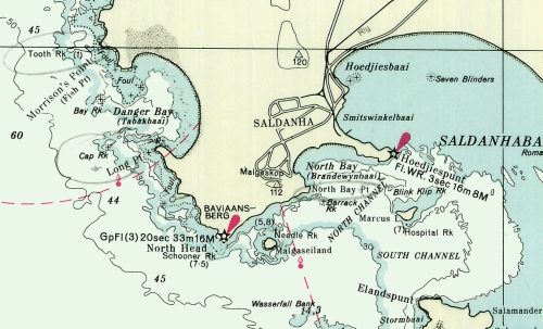
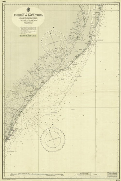
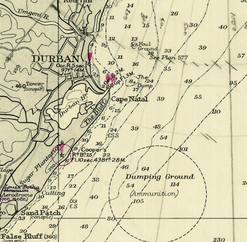
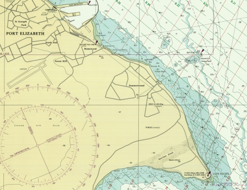
South Africa Nautical Charts Digital Format on 16GB USB Flash Drive
New
R595.00
Closed
14 May 24 16:37
Shipping
Standard courier shipping from R30
R30 Standard shipping using one of our trusted couriers applies to most areas in South Africa. Some areas may attract a R30 surcharge. This will be calculated at checkout if applicable.
Check my rate
Check my rate
Free collection from
Kuils River, Cape Town
The seller allows collection for this item and will be in contact with the full collection address once the order is ready.
Ready for collection by Wednesday, 22 May.
Ready to ship in
The seller has indicated that they will usually have this item
ready to ship within 3 business days. Shipping time depends on your delivery address. The most
accurate delivery time will be calculated at checkout, but in
general, the following shipping times apply:
Standard Delivery
| Main centres: | 1-3 business days |
| Regional areas: | 3-4 business days |
| Remote areas: | 3-5 business days |
Get it now, pay later
Seller
Buyer Protection
Product details
Condition
New
Location
South Africa
Area
Maritime
Time Period
Post-1950
Type
Nautical Charts
Customer ratings:
Bob Shop ID
614217674