This auction has closed with no winners.
View other items offered by Antebellum Antiques1271

Similar products

Free shipping
Old Canvas Map of Upington Area
R750.00
HUGE ROYAL MAP POSTER OF THE BRITISH ROYALTY - 78CM X 101 CM
R480.99
Large Folded Wall Map of Thailand.
R195.00
RHODESIA TOURIST MAP PRE-1980
R350.00
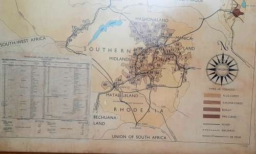
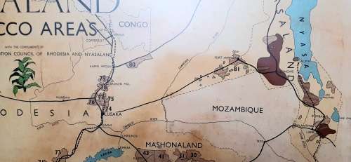
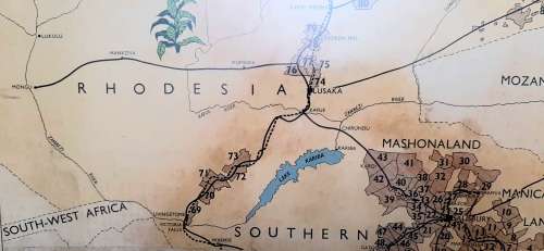
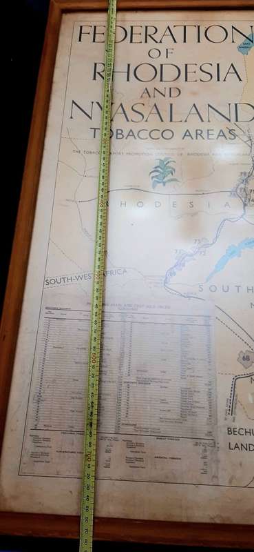
** 1950-1962 Federation of Rhodesia and Nyasaland Tobacco Areas Large Framed Map (77cm x 71cm).** ** 1950-1962 Federation of Rhodesia and Nyasaland Tobacco Areas Large Framed Map (77cm x 71cm).** ** 1950-1962 Federation of Rhodesia and Nyasaland Tobacco Areas Large Framed Map (77cm x 71cm).** ** 1950-1962 Federation of Rhodesia and Nyasaland Tobacco Areas Large Framed Map (77cm x 71cm).** ** 1950-1962 Federation of Rhodesia and Nyasaland Tobacco Areas Large Framed Map (77cm x 71cm).** ** 1950-1962 Federation of Rhodesia and Nyasaland Tobacco Areas Large Framed Map (77cm x 71cm).** ** 1950-1962 Federation of Rhodesia and Nyasaland Tobacco Areas Large Framed Map (77cm x 71cm).** ** 1950-1962 Federation of Rhodesia and Nyasaland Tobacco Areas Large Framed Map (77cm x 71cm).** ** 1950-1962 Federation of Rhodesia and Nyasaland Tobacco Areas Large Framed Map (77cm x 71cm).** ** 1950-1962 Federation of Rhodesia and Nyasaland Tobacco Areas Large Framed Map (77cm x 71cm).** ** 1950-1962 Federation of Rhodesia and Nyasaland Tobacco Areas Large Framed Map (77cm x 71cm).** ** 1950-1962 Federation of Rhodesia and Nyasaland Tobacco Areas Large Framed Map (77cm x 71cm).** ** 1950-1962 Federation of Rhodesia and Nyasaland Tobacco Areas Large Framed Map (77cm x 71cm).** ** 1950-1962 Federation of Rhodesia and Nyasaland Tobacco Areas Large Framed Map (77cm x 71cm).** ** 1950-1962 Federation of Rhodesia and Nyasaland Tobacco Areas Large Framed Map (77cm x 71cm).**
** 1950-1962 Federation of Rhodesia and Nyasaland Tobacco Areas Large Framed Map (77cm x 71cm).** ** 1950-1962 Federation of Rhodesia and Nyasaland Tobacco Areas Large Framed Map (77cm x 71cm).** ** 1950-1962 Federation of Rhodesia and Nyasaland Tobacco Areas Large Framed Map (77cm x 71cm).** ** 1950-1962 Federation of Rhodesia and Nyasaland Tobacco Areas Large Framed Map (77cm x 71cm).**
** 1950-1962 Federation of Rhodesia and Nyasaland Tobacco Areas Large Framed Map (77cm x 71cm).**
+11
Closed

** 1950-1962 Federation of Rhodesia and Nyasaland Tobacco Areas Large Framed Map (77cm x 71cm).**

1 was available / secondhand
R10.00 minimum increment
R1,500.00
Shipping
R35.00 Standard shipping using one of our trusted couriers applies to most areas in South Africa. Some areas may attract a R30.00 surcharge. This will be calculated at checkout if applicable.
Check my rate
The seller has indicated that they will usually have this item ready to ship within 10 business days. Shipping time depends on your delivery address. The most accurate delivery time will be calculated at checkout, but in general, the following shipping times apply:
 
Standard Delivery
Main centres:  1-3 business days
Regional areas: 3-4 business days
Remote areas: 3-5 business days
Buyer protection

Product details

Condition
Secondhand
Location
South Africa
Area
Africa
Time Period
Post-1950
Type
Physical Map
Bob Shop ID
643855426

** 1950-1962 Federation of Rhodesia & Nyasaland Tobacco Areas Large Framed Map (77cm x 71cm).**

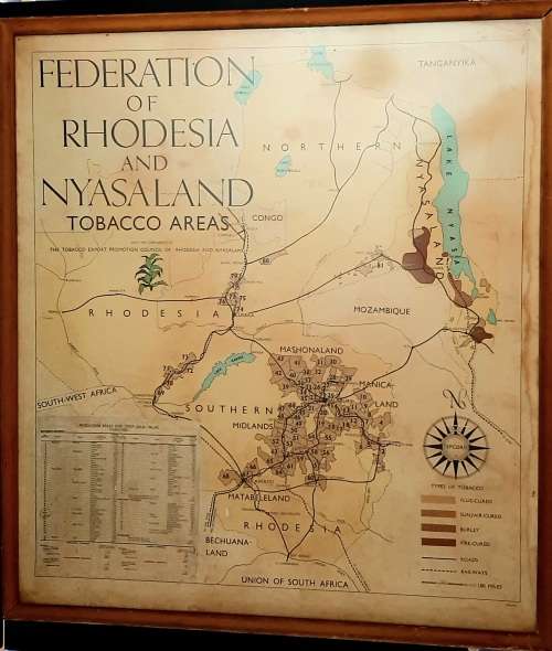
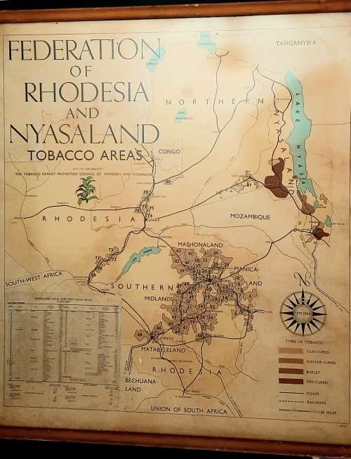
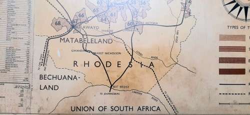
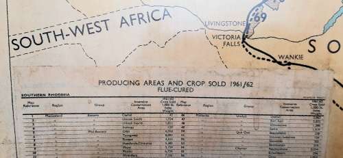
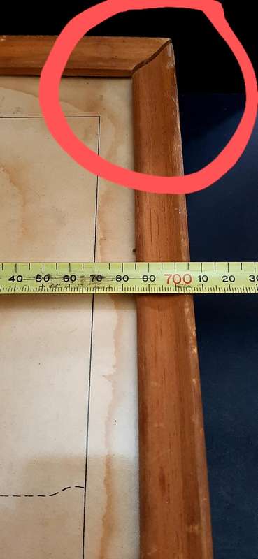
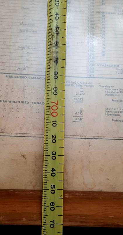
This piece remains in a GOOD, USED CONDITION- Map is complete , but clearly displays signs of Age-related wear. Graphic Relief is detailed and includes a Crop Yield & Sales Sheet for the Year 1961/62.  ** Note : Frame has come partially loose on Top Right-hand corner. **

INSPECT PICTURES CAREFULLY AS THEY FORM AN IMPORTANT PART OF THE DESCRIPTION. 

ORIGIN : Federation of Rhodesia & Nyasaland 

YEAR : 1950 - 1962

SUBJECT : Tobacco Producing Areas & Crop Sold

DIMENSIONS: 77cm x 71cm


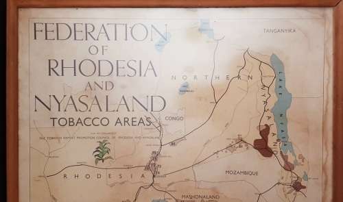
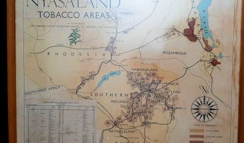
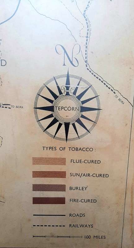
An EXCELLENT example of a 1950-1962 Federation of Rhodesia & Nyasaland Tobacco Areas Large Framed Map behind Glass. This piece details the prominent Tobacco Producing regions of Northern Rhodesia, Southern Rhodesia & Nyasaland Colonies - including a Yield Sheet for the Production Year 1961/62. A Key is provided on the bottom Right-hand corner of the Map - indicating the various Types of Tobacco & Road/ Rail Networks throughout the Three Colonies. This piece had been produced by The Tobacco Export Promotion Council of Rhodesia & Nyasaland.

Please Take Note : The Frame has come slightly loose on the Top Right-hand Panel Corner.  The Paper upon which the Map has been printed displays visible wear.

The ideal addition to any Vintage 1950s/60s Rhodesia & Nyasaland Agricultural Map collection or display  - detailing Political and Physical Boundaries for the History or Cartographic enthusiast.

FOREIGN BIDDERS TO PAY USING BOB BUCKS- QUOTED SHIPPING 

NO COLLECTION 

PAYMENT IN 7 DAYS OR SNC 

SEE SHIPPING 


Recently viewed

See more
10pcs TL072 TL072CP DIP8 Chorus Delay Op Amps IC Chips
R304.00
CORSAIR RX Series; iCUE LINK RX140; 140mm Fan; Dual Pack
R1,530.00
Die Vlammende Stad AP Roux
R50.00
Alco Salt & Pepper Shaker 3-Pc Set Cafe Table with Barstools.
R210.00 No bids