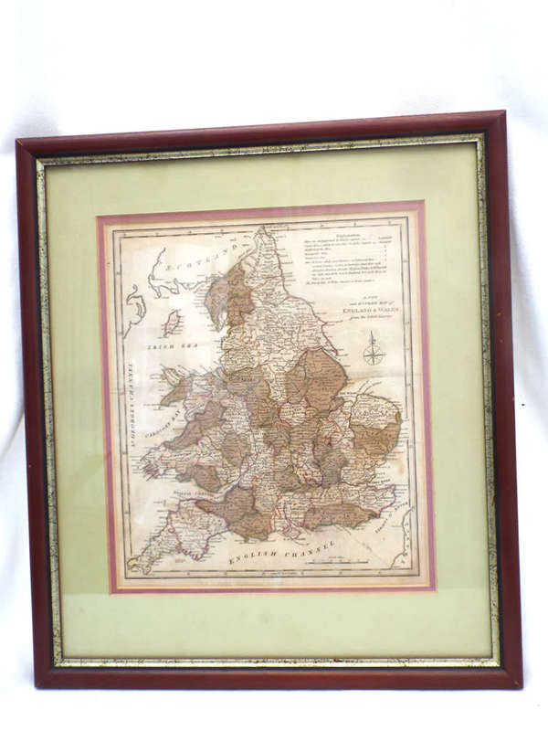
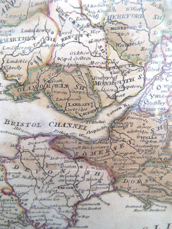
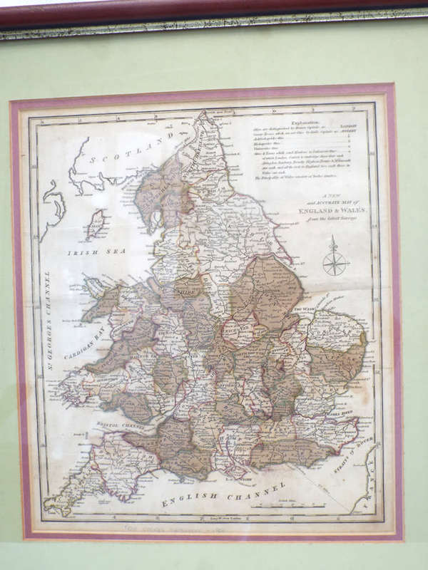
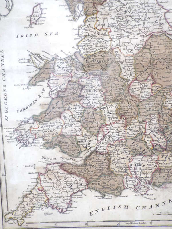
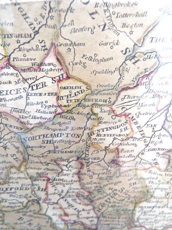
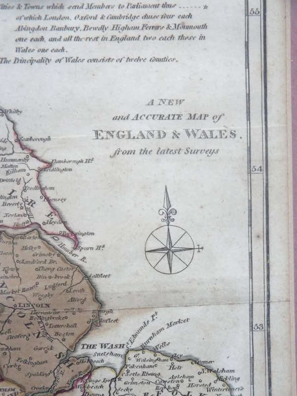
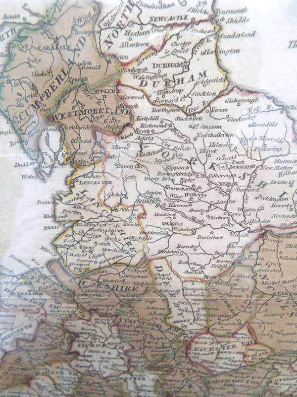
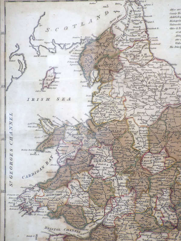
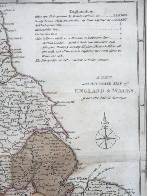
A New and Accurate Map of England and Wales  G. Cooke. Circa 1807. Ref. No. MP/6 A New and Accurate Map of England and Wales  G. Cooke. Circa 1807. Ref. No. MP/6 A New and Accurate Map of England and Wales  G. Cooke. Circa 1807. Ref. No. MP/6 A New and Accurate Map of England and Wales  G. Cooke. Circa 1807. Ref. No. MP/6 A New and Accurate Map of England and Wales  G. Cooke. Circa 1807. Ref. No. MP/6 A New and Accurate Map of England and Wales  G. Cooke. Circa 1807. Ref. No. MP/6 A New and Accurate Map of England and Wales  G. Cooke. Circa 1807. Ref. No. MP/6 A New and Accurate Map of England and Wales  G. Cooke. Circa 1807. Ref. No. MP/6 A New and Accurate Map of England and Wales  G. Cooke. Circa 1807. Ref. No. MP/6 A New and Accurate Map of England and Wales  G. Cooke. Circa 1807. Ref. No. MP/6
A New and Accurate Map of England and Wales  G. Cooke. Circa 1807. Ref. No. MP/6 A New and Accurate Map of England and Wales  G. Cooke. Circa 1807. Ref. No. MP/6 A New and Accurate Map of England and Wales  G. Cooke. Circa 1807. Ref. No. MP/6 A New and Accurate Map of England and Wales  G. Cooke. Circa 1807. Ref. No. MP/6
A New and Accurate Map of England and Wales  G. Cooke. Circa 1807. Ref. No. MP/6
+6

‘A New and Accurate Map of England and Wales’ G. Cooke. Circa 1807. Ref. No. MP/6

Secondhand 1 available
R550.00
Shipping
R35.00 Standard shipping using one of our trusted couriers applies to most areas in South Africa. Some areas may attract a R30.00 surcharge. This will be calculated at checkout if applicable.
Check my rate
The seller has indicated that they will usually have this item ready to ship within 3 business days. Shipping time depends on your delivery address. The most accurate delivery time will be calculated at checkout, but in general, the following shipping times apply:
 
Standard Delivery
Main centres:  1-3 business days
Regional areas: 3-4 business days
Remote areas: 3-5 business days
Seller
Buyer protection
Get it now, pay later

Product details

Condition
Secondhand
Location
South Africa
Area
Europe
Time Period
1800s
Type
Physical Map
Bob Shop ID
648218917


Description:  A New and Accurate Map of England and Wales  G. Cooke. Circa 1807. Ref. No. MP/6
Maker/Cartographer: Unknown
Date: 1801-1807
History:  From The Modern and Authentic System of Universal Geography by George A. Cooke.
Description: A hand- coloured copper engraved map published by Macdonald and Son, London mounted in a wooden frame
Condition: Overall in good condition.
Dimensions: 43 cm x 37.5 cm.

Price: R550.00

Please note, I am NOT a qualified archaeologist/antiquarian and the description I have given is based on research of the subject.
This is a genuine antique. Please remember the classification of an 'antique' is that it should be 100 years old, OR MORE.

Terms: We offer a strict three-day approval period from the date the parcel reaches you. Refunds/credits are based on the cost of the article, NOT including delivery charges. Please advise us within this period whether you would like to return any article for a refund/credit. Although we pride ourselves in our packing, the buyer remains responsible for loss, non-arrival or damage to goods being sent to, or returned.

Add to cart

Recently viewed

BitFenix Mesh Strips for Shinobi - Green
New
R224.14
Cubic Zirconium - Faceted Heart Shape - 4.68cts
New
R149.99

Similar products

Antique 1768 map Carte Du Canal De Mozambique. Ref. MP-12
Secondhand
R3,750.00
Vintage Ordnance survey map for England and Wales. 1942 Barnsley & Sheffield.
Secondhand
R1,045.00
1892 Map of New South Wales, Excellent condition, Original Chambers Map Australia
Secondhand
R135.00
Free shipping
1859 New South Wales And Victoria Map by J. Bartholomew- Has a slight tear in the top middle
Secondhand
R4,999.99