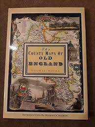
`THE COUNTY MAPS OF OLD ENGLAND` BY THOMAS MOULE
Check my rate
| Main centres: | 1-3 business days |
| Regional areas: | 3-4 business days |
| Remote areas: | 3-5 business days |

| Main centres: | 1-3 business days |
| Regional areas: | 3-4 business days |
| Remote areas: | 3-5 business days |
"THE COUNTY MAPS OF OLD ENGLAND" BY THOMAS MOULE. HARDCOVER IN EXCELLENT CONDITION, FULLY INTACT DUST JACKET, 127 PAGES, NO INSCRIPTIONS OR NAMES.
Thomas Moule is one of the most distinctive and beloved of early Victorian mapmakers. His charming series of English county maps, first published in 1830 as the 'English Counties,' are as popular and collectible today as when they first appeared. Their elaborate and decorative style, a synthesis of art and cartography, sets them apart from most other maps of the period, whose plain unembellished style owed much to the pioneering work of the Ordinance Survey.
Moule's maps convey a picture of an England where 'ancientness' could still be found in abundance. This was an England where history was still alive in ancient country houses, parish churches with their escutcheoned Gothic memorials and tombs, in market towns and market place and in a landscape that still offered 'scenes, situations, and prospects remarkable fro extent and beauty."
