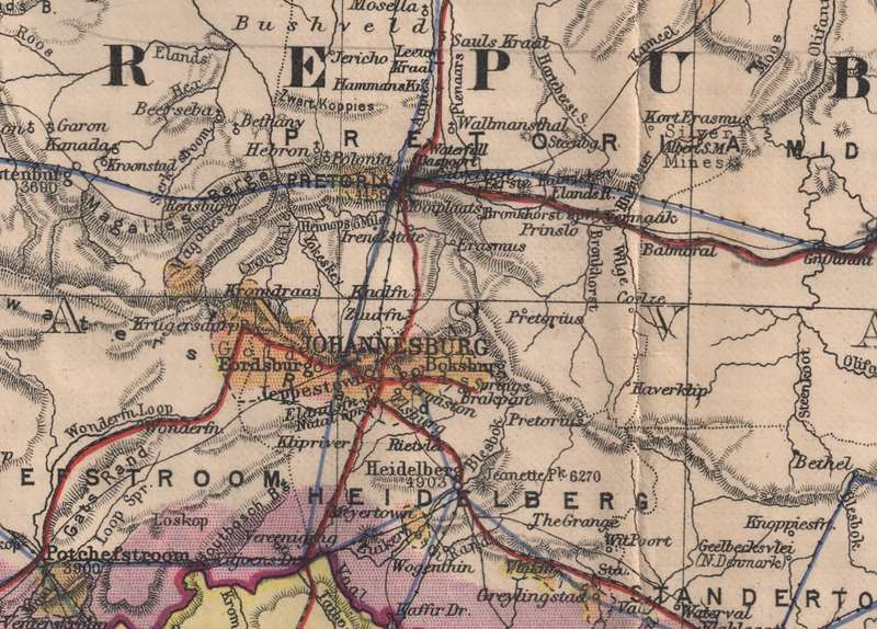
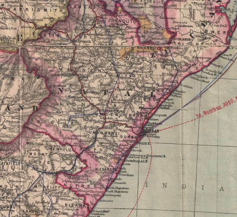
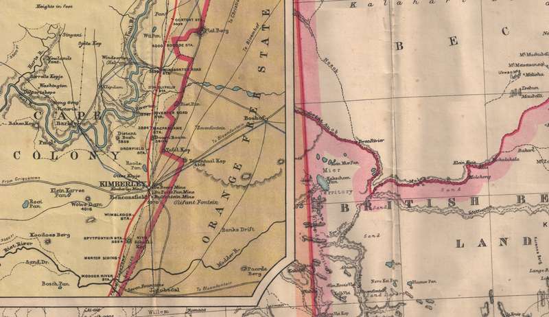
"The Times" Map of British South Africa Transvaal and Orange Free State Digital Map.
Digital product
1 was available / refurbished
R295.00
0% off
Shipping
This is a digital product (eg. voucher, product license, service, etc.) and does not require shipping.
The seller will be in contact to deliver this product to you electronically.
The seller has indicated that they will usually have this item
ready to ship within 3 business days.
Shipping time depends on your delivery address.
The most accurate delivery time will be calculated at checkout,
but in general, the following shipping times apply:
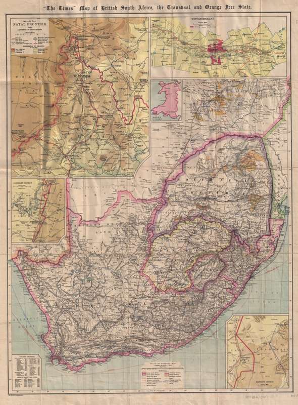
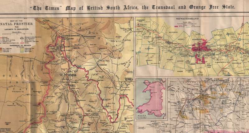
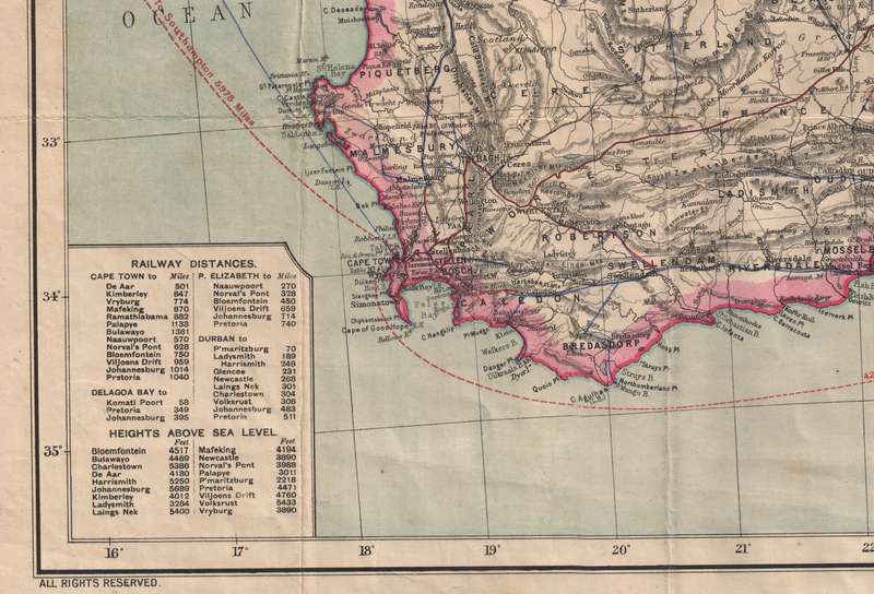
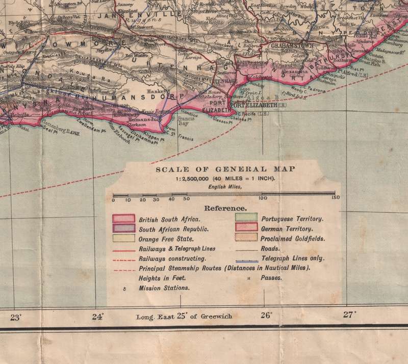
Title: "The Times" Map of British South Africa Transvaal and Orange Free State Digital Map. Publisher: The Times of London Format: Vintage Printed Maps that have been scanned and saved as a jpg image, 94 dpi / 17462 x 22955 pixels. File Size: Total of 334MB - jpg file.. Info: Map of South Africa during the South African War (1899-1902), showing British South Africa, the South African Republic, the Orange Free State, Portuguese and German territory, cities and towns, roads, railways in use, railways under construction, proclaimed goldfields, telegraph lines, mountains and mountain passes, mission stations, rivers, principal steamship routes with distances plus a table of railway distances and a table of heights above sea level in feet. Relief shown by hachures and spot heights. Bar scale on map given in "English Miles" (1:2,500,000). Insets Of: Map of the Natal frontier from Ladysmith to Charlestown. Scale 1:160 934. Witwatersrand. Scale 1:482 803 Kimberley district. Scale 1: 804 672 Mafeking district. Scale 1:804 672 Wales. Scale 1:2 500 000. Format: Digital files transferred via WeTransfer - A download Link will be forwarded on completion of order. Price: R 295.00 Inc Vat.
Large image files require sufficient processing power and memory capabilities to render efficiently on the screen.