Similar products


| Main centres: | 1-3 business days |
| Regional areas: | 3-4 business days |
| Remote areas: | 3-5 business days |
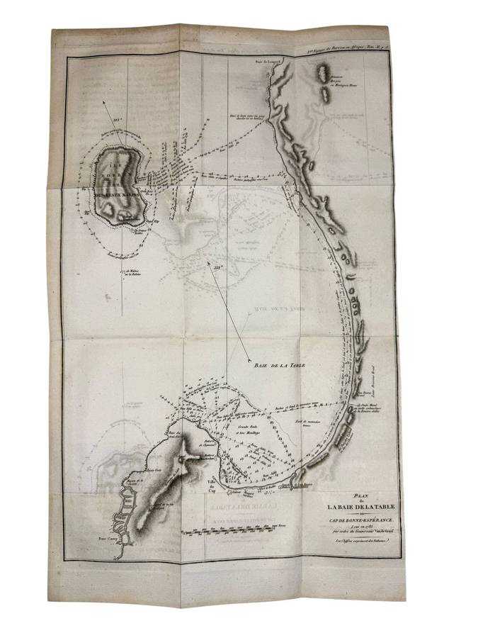
1826 'Colony of Good Hope' Map Alex Findlay artist/cartographer/engraver

A superb map of the Colony of Good Hope, drawn in 1826 and published by Thomas Kelly, London in 1830 for the 'The Oxford Encyclopedia, or Dictionary', by the Rev W. Harris, J.A. Stewart et al.
Alex George Findlay (1812-1875) was born in London, son of Alexander Findlay, one of the original fellows of the Royal Geographical Society. His grandfather, a prominent ship owner, possibly inspired Alex in his career which was devoted to the compilation of geographical and hydrographical works. In 1884 he was elected a fellow of the Royal Geographical Society and did a great amount of research on meteorites. In 1858, Findlay took over the London print and geographical publisher, Laurie and Whittle, and turned it into the oldest active firm for the publication of nautical works and charts. 


The map is in good overall condition with minimal spotting. The image size is 24cm x 18.5 cm, the paper size being 27.0 cm x 20.5cm. This is an authentic historic print, published in 1830.
This is a genuine antique. Please remember the classification of an 'antique' is that it should be 100 years old, OR MORE. There are many articles being offered as 'antiques' when, clearly, they are not.
