

| Main centres: | 1-3 business days |
| Regional areas: | 3-4 business days |
| Remote areas: | 3-5 business days |
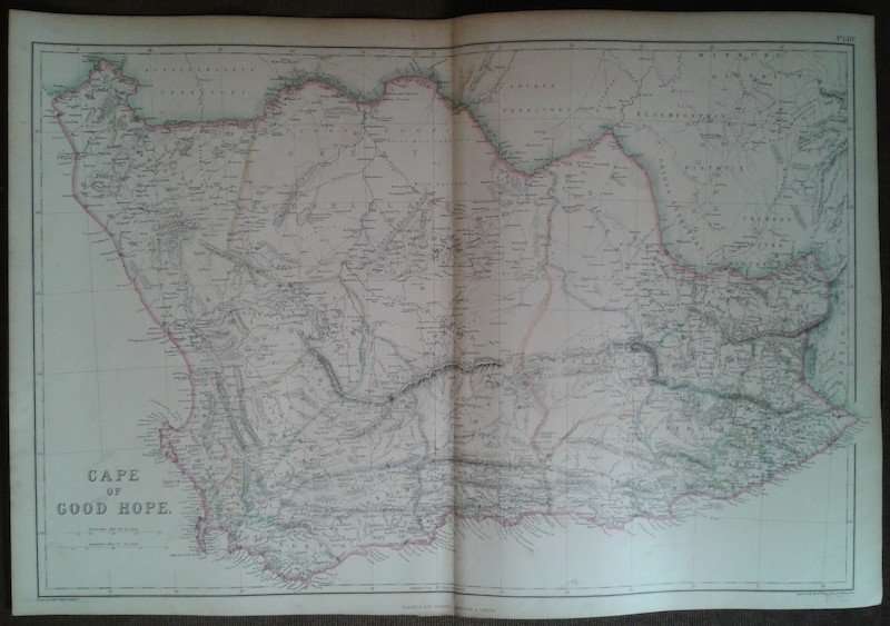
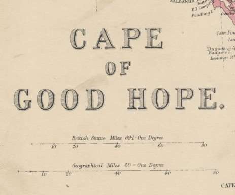
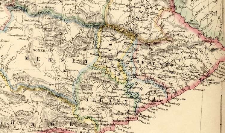
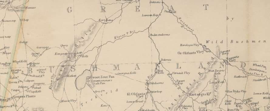
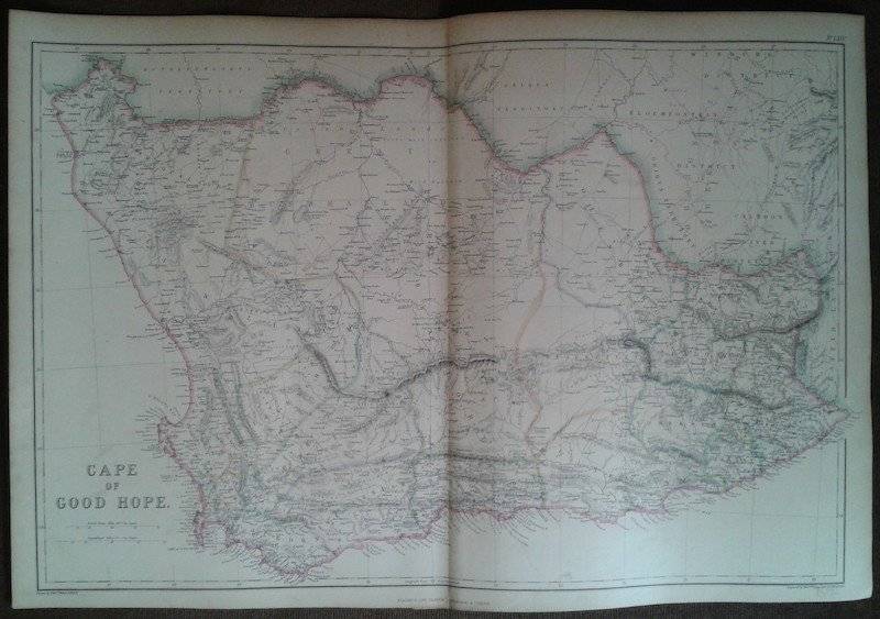
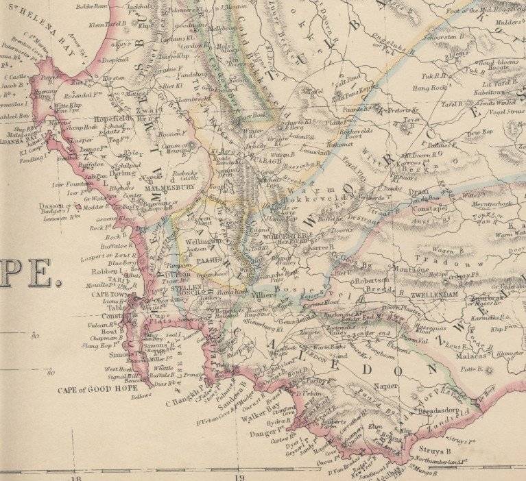
Cape Colony
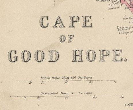
1860 Original Map
Good Condition
The map is an original 1860 issue and NOT a reproduction.
It measures 368mm x 543mm in total
The map is partially hand coloured with no real fading present to the print, the parer is still crisp and responsive to handling although it is showing age related discolouration. Original 1860 map of South Africa Published by Blackie & Son.
Some of the place names indicated are :
Cape Colony
Bandlezwaarts Territory
Orange Free State
Kaffir Land
Basuto Land
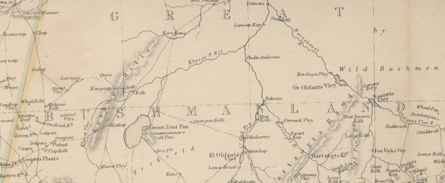
Bushmanland
Griqua Territory
Exct


 INTERNATIONAL CUSTOMERS WELCOME