This item has closed 1 buyer bought 1 item
View other items offered by largo1110

Similar products

R30 shipping
1875 Map of Africa, Great Condition, Original Steinwehr Map
R525
R30 shipping
Original 1984 South West Africa Road Map A1 size
R400
R30 shipping
1922 Map of South Africa - Eastern Section, fair Condition, Original Bartholomew Map
R125
R30 shipping
1880 Map of South Africa, Excellent Condition, Original Map Major Railways
R445

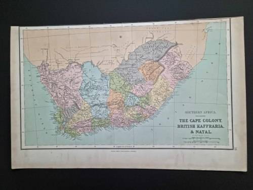
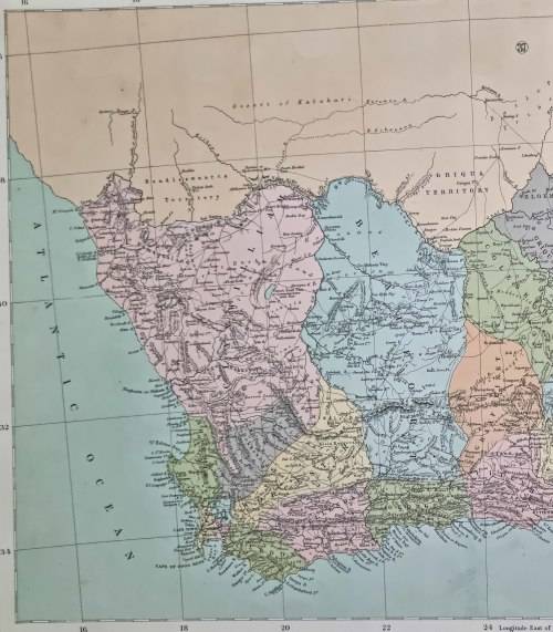
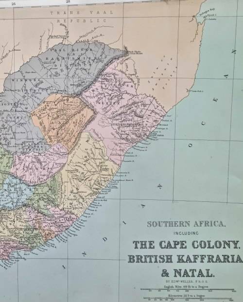
1864 ORIGINAL ANTIQUE MAP OF SOUTH AFRICA - over 150 years old

Secondhand
R390.00
Shipping
Standard courier shipping from R30
R30 Standard shipping using one of our trusted couriers applies to most areas in South Africa. Some areas may attract a R30 surcharge. This will be calculated at checkout if applicable.
Check my rate
Ready to ship in
The seller has indicated that they will usually have this item ready to ship within 3 business days. Shipping time depends on your delivery address. The most accurate delivery time will be calculated at checkout, but in general, the following shipping times apply:
 
Standard Delivery
Main centres:  1-3 business days
Regional areas: 3-4 business days
Remote areas: 3-5 business days
Buyer Protection How you're covered
Get it now, pay later

Product information

Condition:
Secondhand
Location:
South Africa
Customer ratings:
Bob Shop ID:
577365595


 1864 ORIGINAL ANTIQUE MAP OF SOUTH AFRICA 

This large map is in a good condition suitable for framing. This hand coloured map is from "Philip's Imperial Library Atlas"

by John Bartholomew, published by George Philip & Son, London and Liverpool in 1864.

Size approx. 55.5cm x 35cm (the reverse is blank). 


 POSTNET TO POSTNET R100

SAME POSTAGE FOR ONE OR MORE MAPS


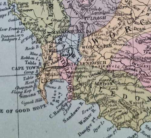
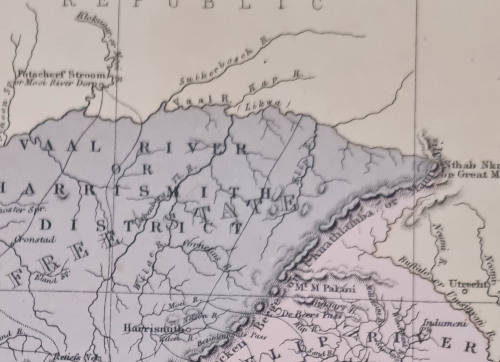
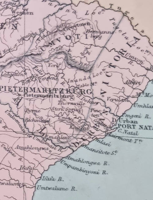
the actual map detail is much sharper than the pictures below


Customer ratings: 1 ratings

Great communication. Item in condition as described. Well-packaged 10/10
19 Mar 2023