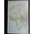
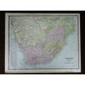
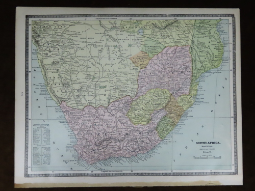
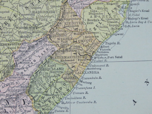
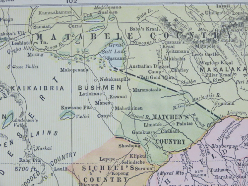
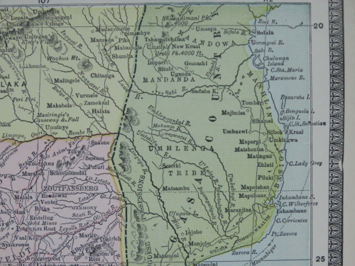
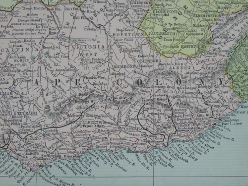
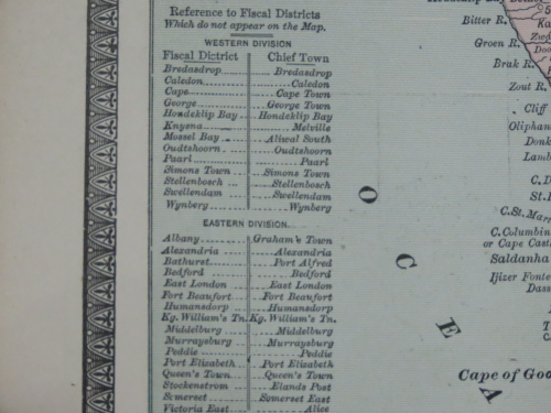
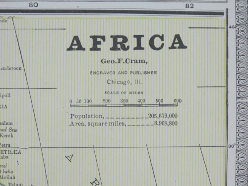
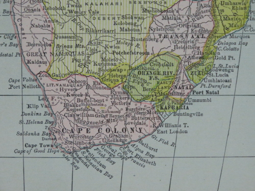
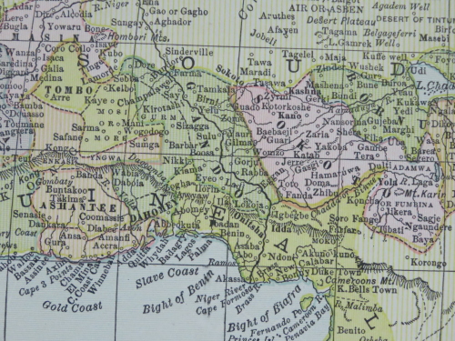
1880 Map of Africa, Excellent Condition, Original Cram Map
Secondhand
Shipping
Standard courier shipping from R30
R30 Standard shipping using one of our trusted couriers applies to most areas in South Africa. Some areas may attract a R30 surcharge. This will be calculated at checkout if applicable.
Check my rate
Check my rate
Ready to ship in
The seller has indicated that they will usually have this item
ready to ship within 3 business days. Shipping time depends on your delivery address. The most
accurate delivery time will be calculated at checkout, but in
general, the following shipping times apply:
Standard Delivery
| Main centres: | 1-3 business days |
| Regional areas: | 3-4 business days |
| Remote areas: | 3-5 business days |
Get it now, pay later
Seller
Buyer Protection
Product details
Condition
Secondhand
Location
South Africa
Area
Africa
Time Period
1800s
Type
Political Map
Product code
BB10340
Bob Shop ID
615896812
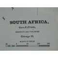
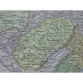
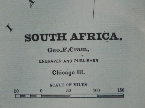
South Africa
1880 Original Map
Excellent Condition
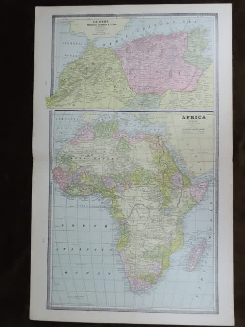
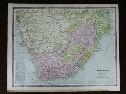
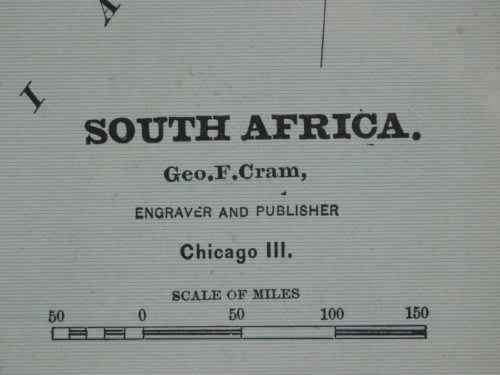
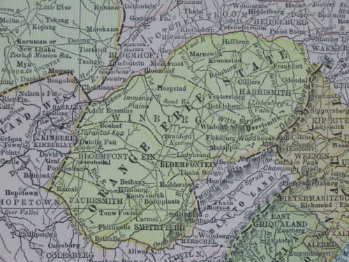
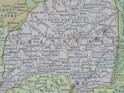
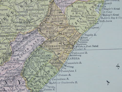
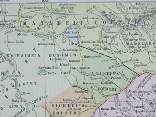
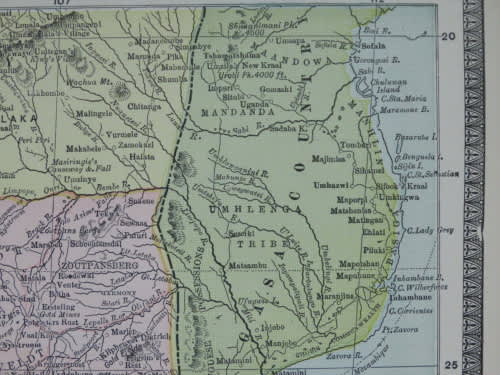
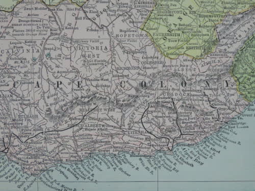
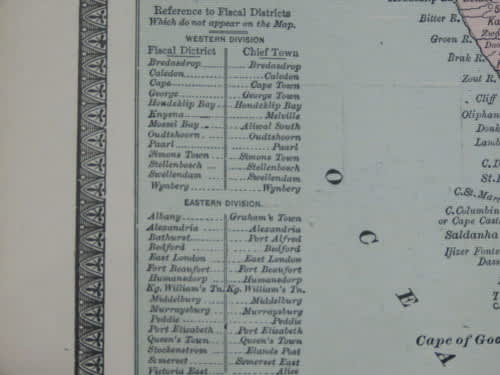
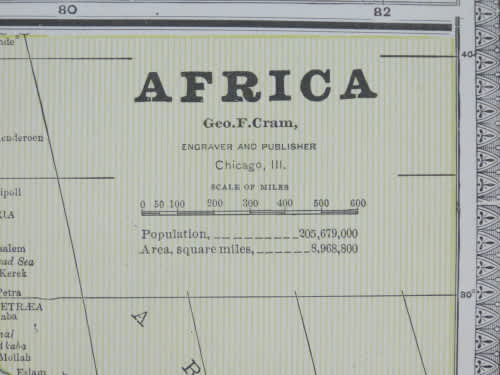
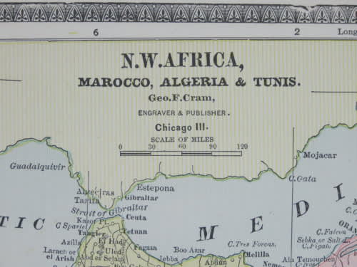
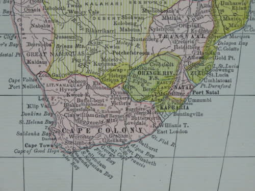
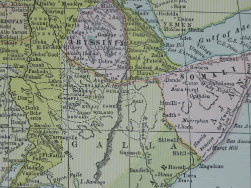
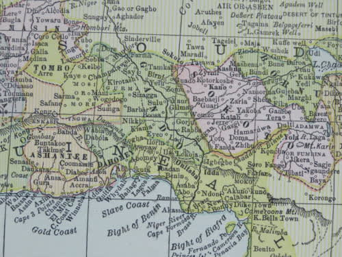
The map is an original 1880 issue and NOT a reproduction.
It measures 345mm x 546mm in total
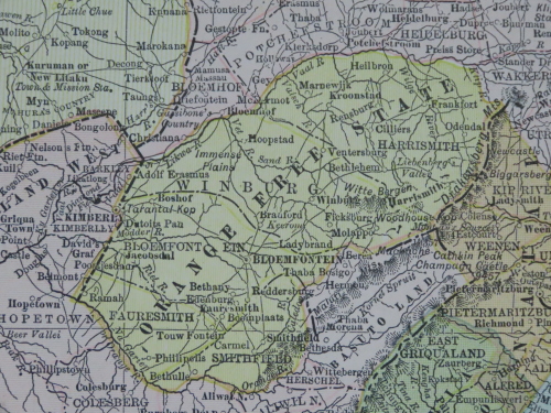
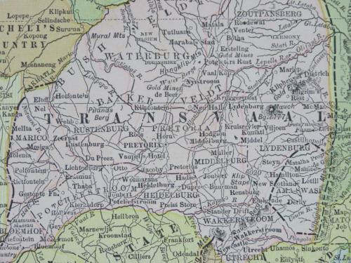
The map is printed in full colour with clerly hand coloured sections. A single small 1cm tear near the top left border, that does not extend into the printed area - hardly worth a mention. No fading or damage. Colour is still bright and clear and paper crisp and retains full sheen. Africa map is folded in half, as originally issued. Map of South Africa on back, and Egypt and Nubia on other half. Original 1880 Map by George Cram.