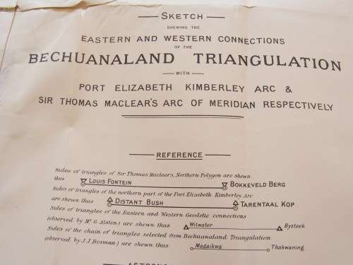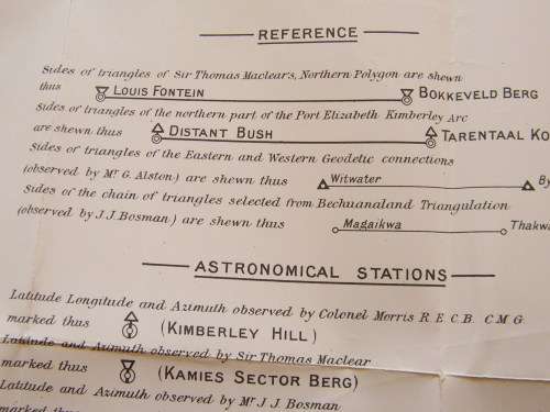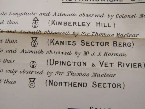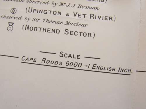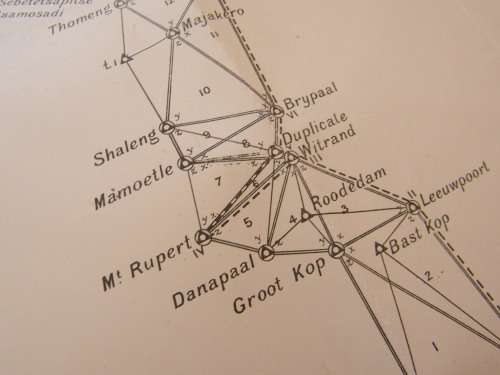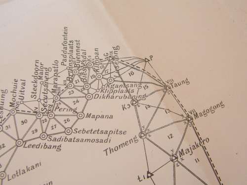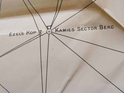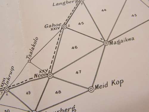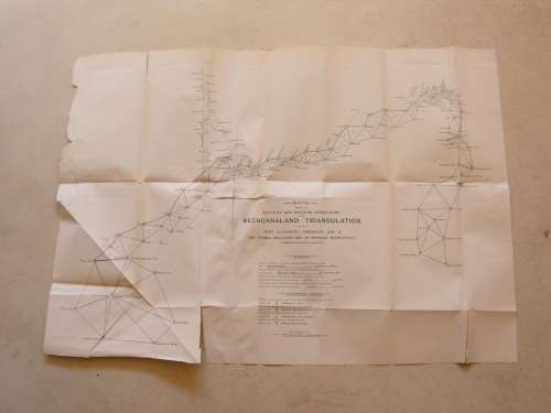
1890`s Bechuanaland Triangulation map covering Northern Cape - Eastern and Western Connections

1890`s Bechuanaland Triangulation map covering Northern Cape - Eastern and Western Connections

1 available / secondhand
R1.00 minimum increment
R450.00
Shipping
R35.00 Standard shipping using one of our trusted couriers applies to most areas in South Africa. Some areas may attract a R30.00 surcharge. This will be calculated at checkout if applicable.
Check my rate
The seller allows collection for this item. Buyers will receive the collection address and time once the order is ready.
The seller has indicated that they will usually have this item ready to ship within 3 business days. Shipping time depends on your delivery address. The most accurate delivery time will be calculated at checkout, but in general, the following shipping times apply:
 
Standard Delivery
Main centres:  1-3 business days
Regional areas: 3-4 business days
Remote areas: 3-5 business days
Seller
Buyer protection

Product details

Condition
Secondhand
Location
South Africa
Product code
30262A0919
Bob Shop ID
643307427

 (Partly Repaired)

Add to cart

Recently viewed

See more
SA Politics Unspun
R45.00
Sterling Silver Christening Fork And Spoon 1871 ( With Hallmarks )
R1,000.00
Micron 7450 PRO 3.84TB M.2 NVMe SSD Non-SED
R18,032.00
1:72 Scale - Mercedes L4500R Maultier - Late - High Sides
R160.00

Similar products

1922 Map of South Africa - Western Half - Excellent Condition, Original Bartholomew Map Cape Town
R745.00
Eastern Cape Provincial Map - Digital Download
R120.00
Western Cape Provincial Map - Printed Map
R195.00
Map of the Eastern Frontier of the Cape Colony 1856, Reproduction Print
R295.00