
| Main centres: | 1-3 business days |
| Regional areas: | 3-4 business days |
| Remote areas: | 3-5 business days |
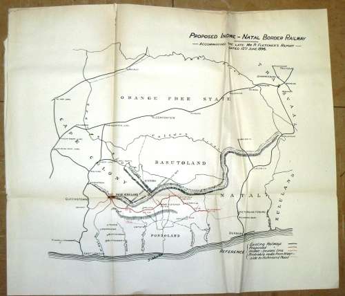
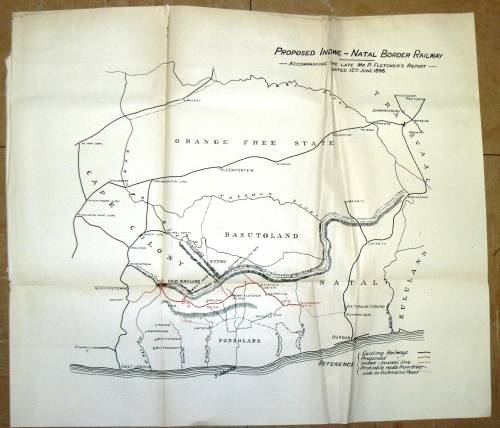
1899 Map of the Proposed Indwe - Natal Border Railway - Accompanying the Late Mr P Fletcher's Report dated 12th June 1896
The Map were salvage from a 1899 Cape government book
The Map were folded but are sharp and in a very good condition. The reverse are blank
A small tear at the bottom left.
Size: 50 x 43 cm
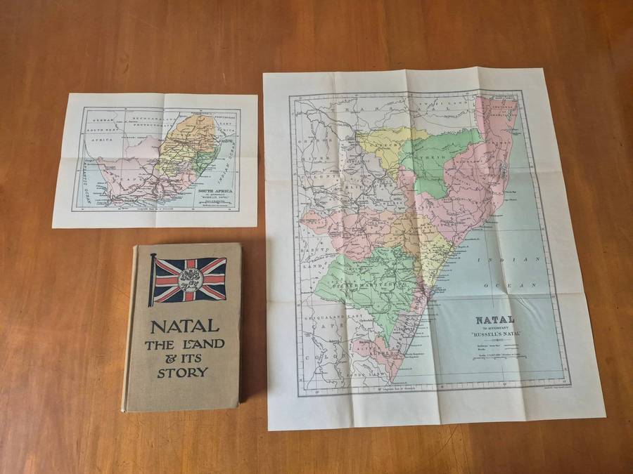
Please see the photo's as part of the description.
Same Postage apply if you order one or more Maps
International Bidders Welcome (Please enquire about shipping costs)
Postage and Packaging:
Post Office: R55, --- Courier R110 up to 5kg
We do combine items to save shipping cost. (Please enquire about the cost if you buy more than 1 item)