


| Main centres: | 1-3 business days |
| Regional areas: | 3-4 business days |
| Remote areas: | 3-5 business days |
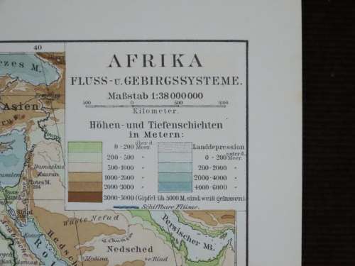
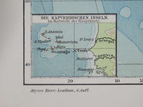
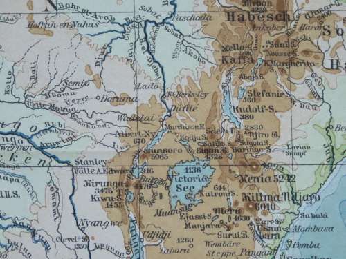
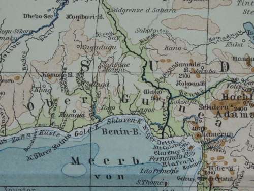
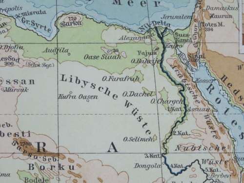
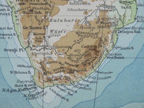
Africa - Physical
1905 Original Map
Excellent Condition
The map is an original 1905 issue and NOT a reproduction.
It measures 245mm x 305mm in total
The map is printed in colour with no fading present to the print, the parer is still crisp and retains original sheen. Original 1905 map of Africa Published by the Bibliographical Institute in Leipzig, Germany, as a part of the Meyer's Lexicon(Meyers Konversations-Lexikon). The map shows the physical attributes of Africa as a continent. Including rivers, mountain ranges, levels above or below sea level and so forth.. There is no foxing or fading, the map is folded as published.