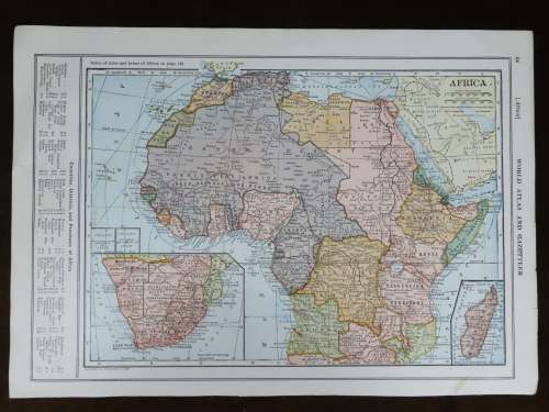
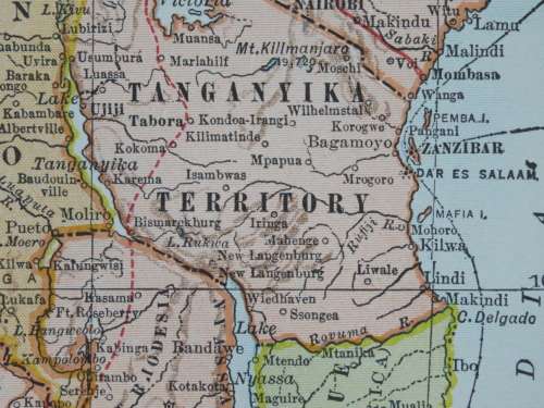
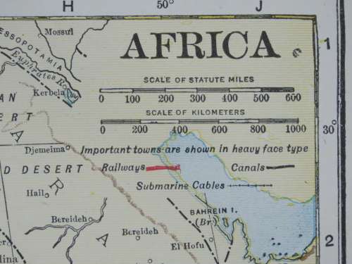
1921 Map of Africa, Excellent condition, Original Poates Map 1921 Map of Africa, Excellent condition, Original Poates Map 1921 Map of Africa, Excellent condition, Original Poates Map 1921 Map of Africa, Excellent condition, Original Poates Map 1921 Map of Africa, Excellent condition, Original Poates Map 1921 Map of Africa, Excellent condition, Original Poates Map 1921 Map of Africa, Excellent condition, Original Poates Map
1921 Map of Africa, Excellent condition, Original Poates Map 1921 Map of Africa, Excellent condition, Original Poates Map 1921 Map of Africa, Excellent condition, Original Poates Map 1921 Map of Africa, Excellent condition, Original Poates Map
1921 Map of Africa, Excellent condition, Original Poates Map
+3

1921 Map of Africa, Excellent condition, Original Poates Map

1 available / secondhand
R395.00
Want to pay less?
Shipping
R35.00 Standard shipping using one of our trusted couriers applies to most areas in South Africa. Some areas may attract a R30.00 surcharge. This will be calculated at checkout if applicable.
Check my rate
The seller has indicated that they will usually have this item ready to ship within 3 business days. Shipping time depends on your delivery address. The most accurate delivery time will be calculated at checkout, but in general, the following shipping times apply:
 
Standard Delivery
Main centres:  1-3 business days
Regional areas: 3-4 business days
Remote areas: 3-5 business days
Seller
Buyer protection
Get it now, pay later

Product details

Condition
Secondhand
Location
South Africa
Area
Africa
Time Period
1900-1950
Type
Political Map
Product code
BB8455
Bob Shop ID
643567588

Africa

1921 Original Map

Excellent Condition

The map is an original 1921 issue and NOT a reproduction.

It measures 378mm x 267mm in total

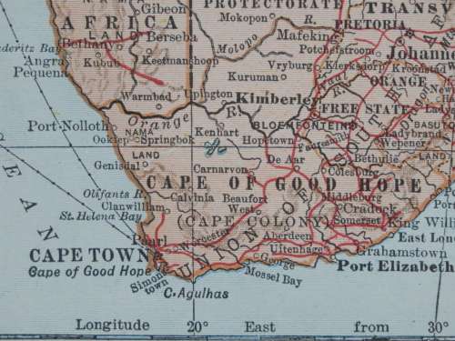
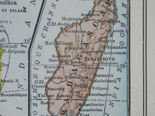
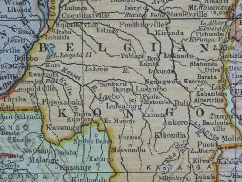
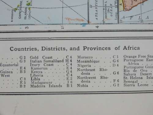
The map is printed in full colour and the paper is still crisp with original sheen. The map is overall in excellent condition, with no tears or fading. Original 1921 map of the world by LL Poates Engraving Co. Likely published in Collier's The New World Atlas. There are insets of Southern Africa and Madagascar along with Ascension and St. Helena Islands. To the left is a list of Countries, Cities and districts.


Add to cart

Recently viewed

See more
Various - Dancing Under The Covers (CD, Comp)
R170.00
Apartheid Change and the NG Kerk - Serfontein, J. H. P.
R360.00
Projector Curtain Hook Projection Screen Wall Mount L-shaped Hook
R436.00
Precalculus - Ron Larson
R1,146.00

Similar products

1892 Map of The World, Excellent condition, Original Chambers Map
R615.00
1892 Map of Canada, Excellent condition, Original Chambers Map
R195.00
1892 Map of Denmark, Excellent condition, Original Chambers Map
R235.00
1922 Map of Central and Southern Africa - Excellent Condition, Original Bartholomew Map
R745.00