| Main centres: | 1-3 business days |
| Regional areas: | 3-4 business days |
| Remote areas: | 3-5 business days |
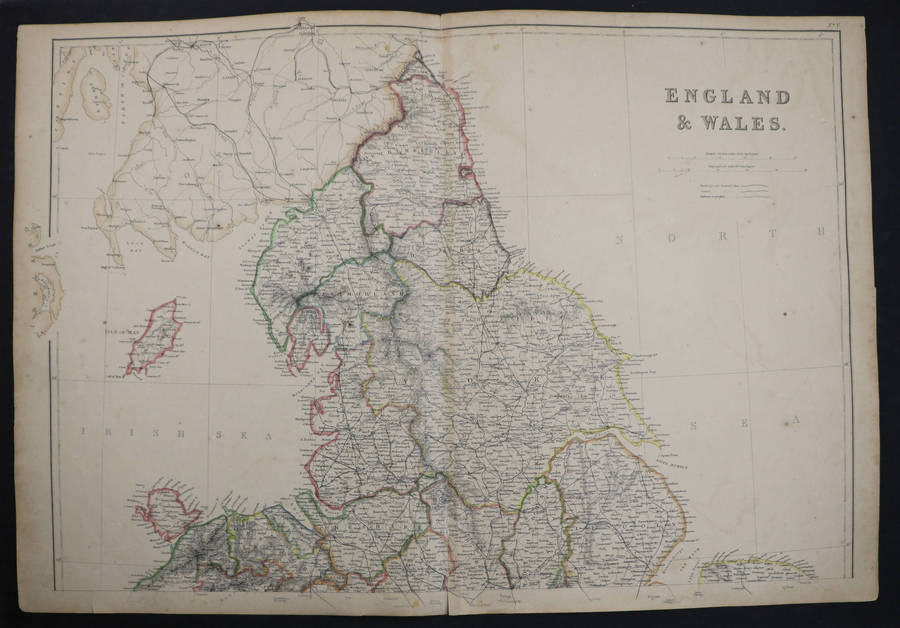
Showing England from the Scottish border in the north as far south as The Ridings of Yorkshire. Insets show the Isle of Man, Newcastle-Sunderland, and Hartlepool-Middlesbrough.
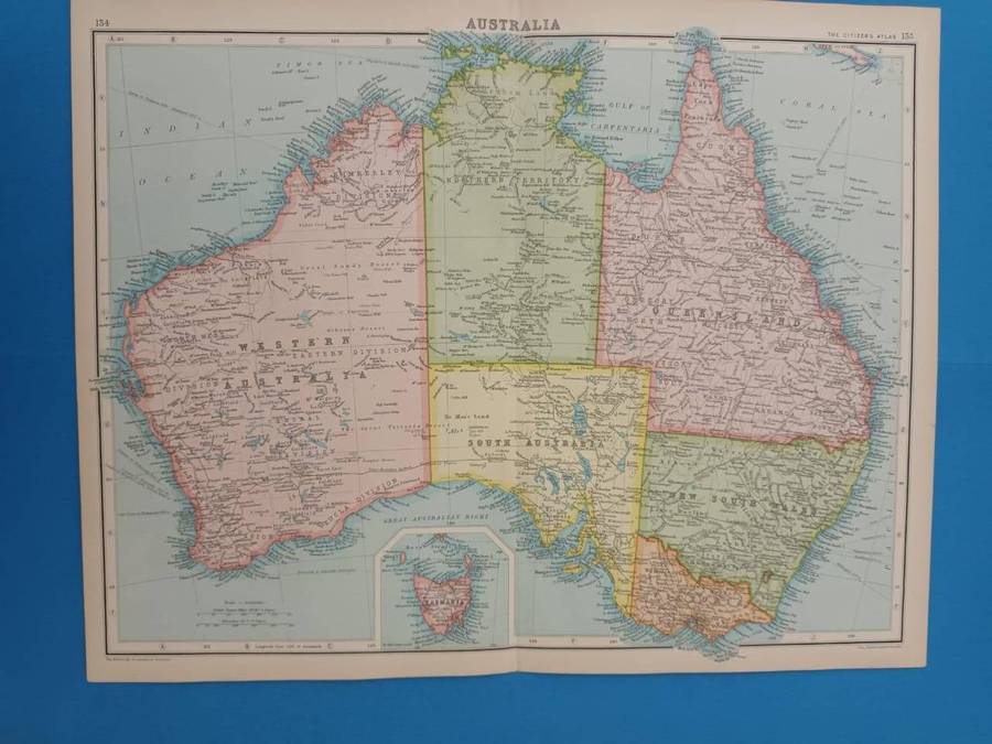
This map has been extracted from The Citizen's Atlas, published in 1924. It is therefore over 100 years old.
The photograph is taken with my cell phone: please forgive the poor quality.
The entire sheet, including margins, measures 35.5 x 46 cm. There is a neat medial fold. Some, mostly marginal, browning. In very good condition. Would frame well.
Remember, please, that you save on carriage costs when you purchase more than one item.