| Main centres: | 1-3 business days |
| Regional areas: | 3-4 business days |
| Remote areas: | 3-5 business days |
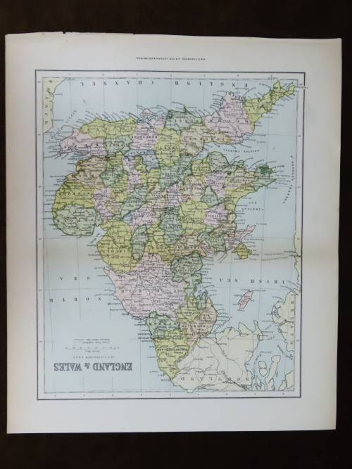
Map is centred on Greater London. It stretches from Cambridgeshire in the north to the Isle of Wight in the south.
This map has been extracted from The Citizen's Atlas, published in 1924. It is therefore over 100 years old.
The photograph is taken with my cell phone: please forgive the poor quality.
The entire sheet, including margins, measures 35.5 x 46 cm. There is a neat medial fold. Some, mostly marginal, browning. In very good condition. Would frame well.
Remember, please, that you save on carriage costs when you purchase more than one item.