1924 map: North-Eastern States - Section 1

1924 map: North-Eastern States - Section 1

Secondhand 1 available
R95.00
Shipping
R65.00 Standard shipping applies to orders under R100.00, in most areas in South Africa. R35.00 Standard shipping applies to orders over R100.00. Some areas may attract a surcharge surcharge. This will be calculated at checkout if applicable.
Check my rate
The seller allows collection for this item. Buyers will receive the collection address and time once the order is ready.
The seller has indicated that they will usually have this item ready to ship within 3 business days. Shipping time depends on your delivery address. The most accurate delivery time will be calculated at checkout, but in general, the following shipping times apply:
 
Standard Delivery
Main centres:  1-3 business days
Regional areas: 3-4 business days
Remote areas: 3-5 business days
Seller
Buyer protection
Get it now, pay later

Product details

Condition
Secondhand
Location
South Africa
Area
The Americas
Time Period
1900-1950
Type
Political Map
Bob Shop ID
683491961

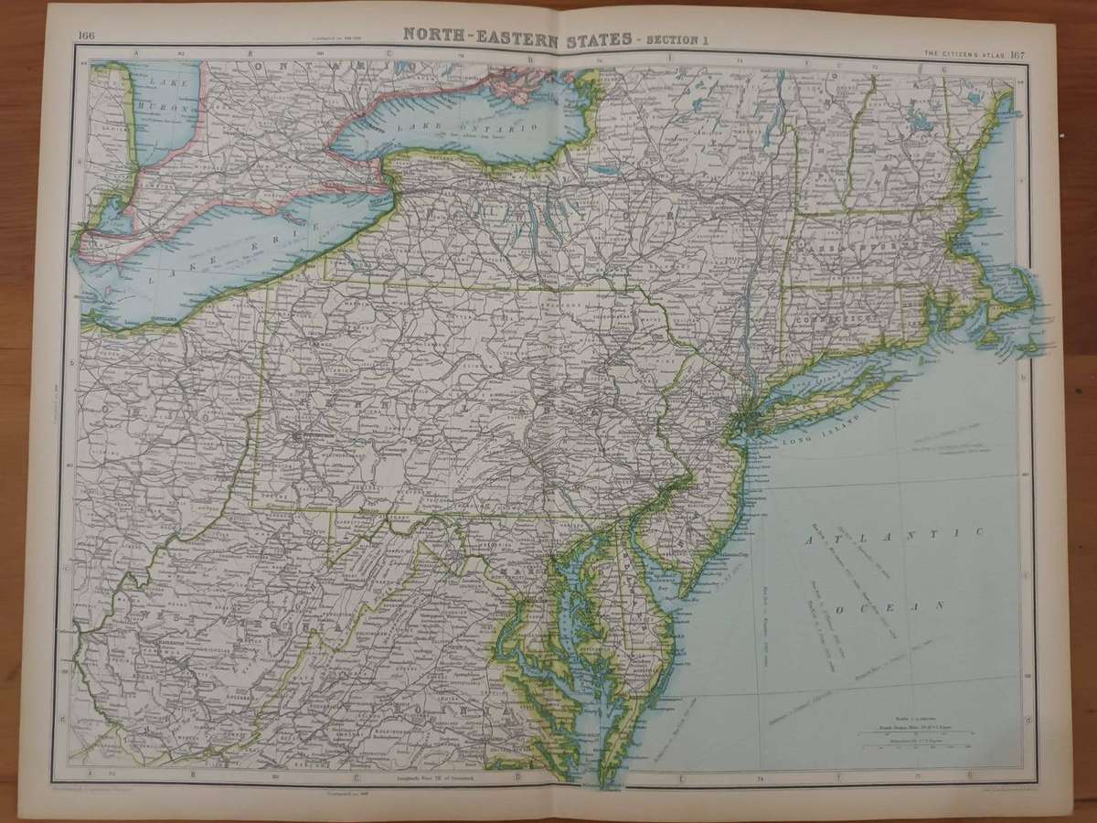
Includes Lakes Huron, Erie, and Ontario. Also the New England States.

This map has been extracted from The Citizen's Atlas, published in 1924. It is therefore over 100 years old.
The photograph is taken with my cell phone: please forgive the poor quality.
The entire sheet, including margins, measures 35.5 x 46 cm. There is a neat medial fold. Some, mostly marginal, browning. In very good condition. Would frame well.
Remember, please, that you save on carriage costs when you purchase more than one item.

Add to cart

Similar products

Don't miss out on the latest deals!