

| Main centres: | 1-3 business days |
| Regional areas: | 3-4 business days |
| Remote areas: | 3-5 business days |
Condition: Secondhand
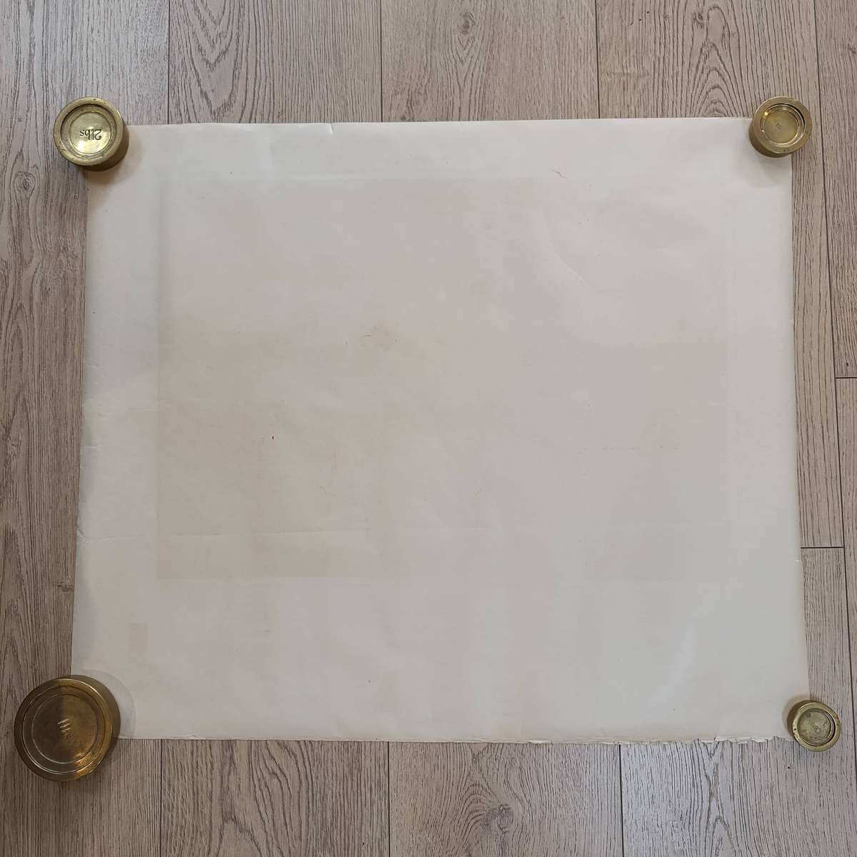
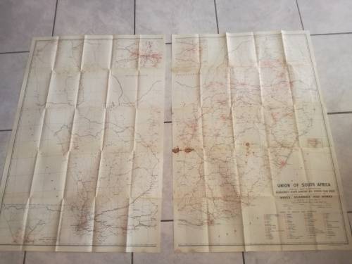
This vintage 1929 printed map offers a detailed view of the western side of South West Africa, now Namibia. Perfect for collectors, historians, and geography enthusiasts, this map provides a historical perspective of the region with accurate cartographic details from the early 20th century.
Key features include:
This map is a valuable addition to any collection of antique maps or South African and Namibian history. Its detailed cartography captures the geographical features and political boundaries of the era, making it a unique piece for display or research.
Whether you're a map collector, historian, or simply interested in the history of Namibia, this 1929 printed map is a rare find. Add it to your collection today and own a piece of early 20th-century cartography.

.jpg)