Main centres: | 1-3 business days |
Regional areas: | 3-4 business days |
Remote areas: | 3-5 business days |
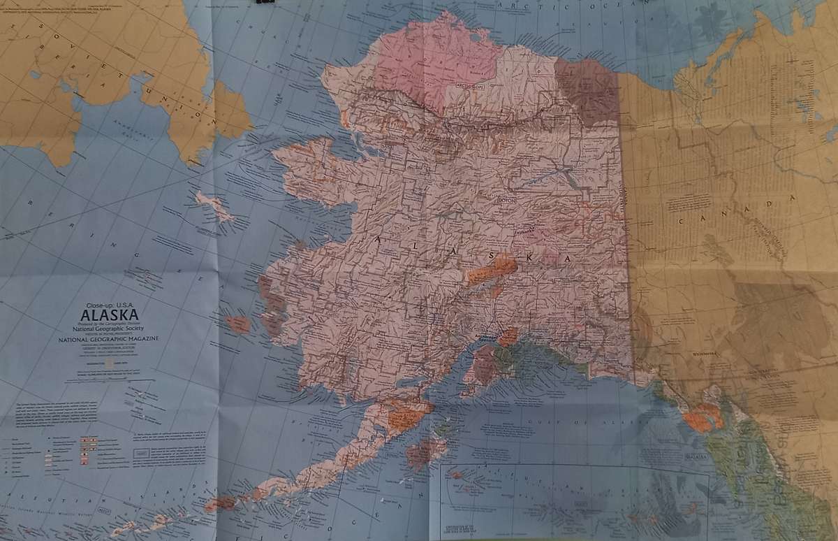
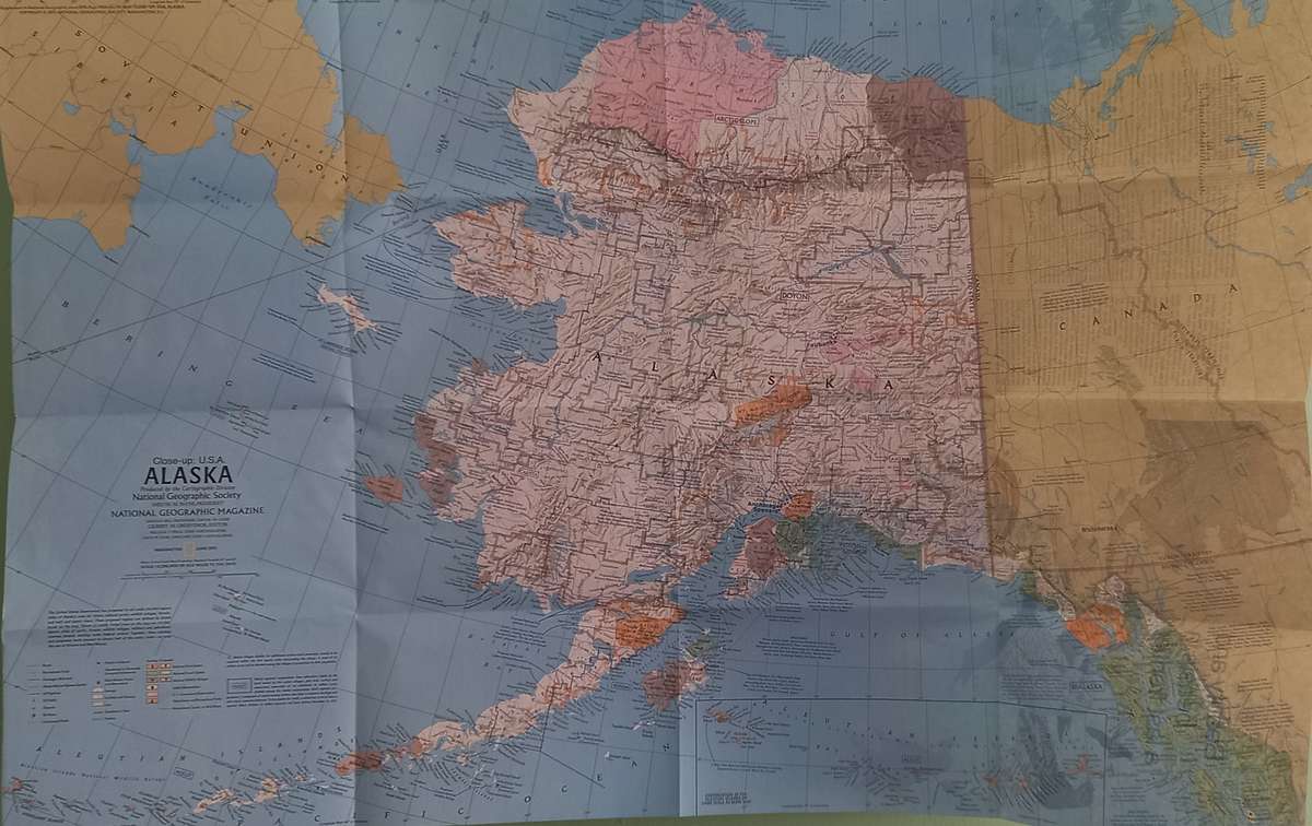
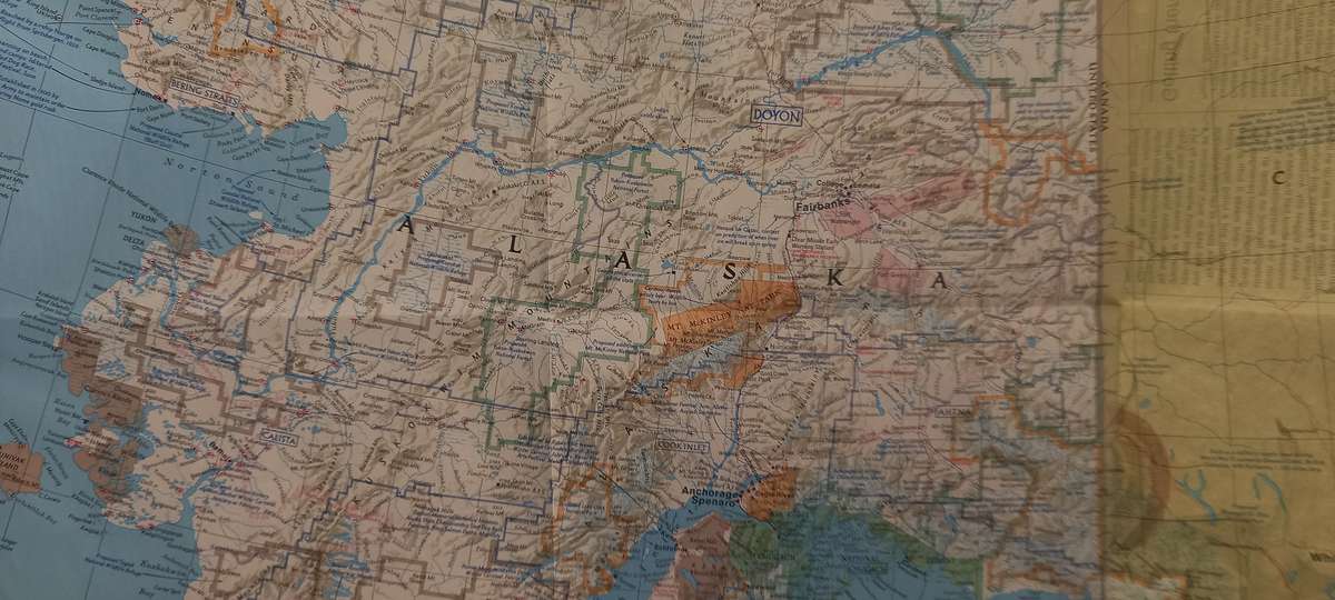
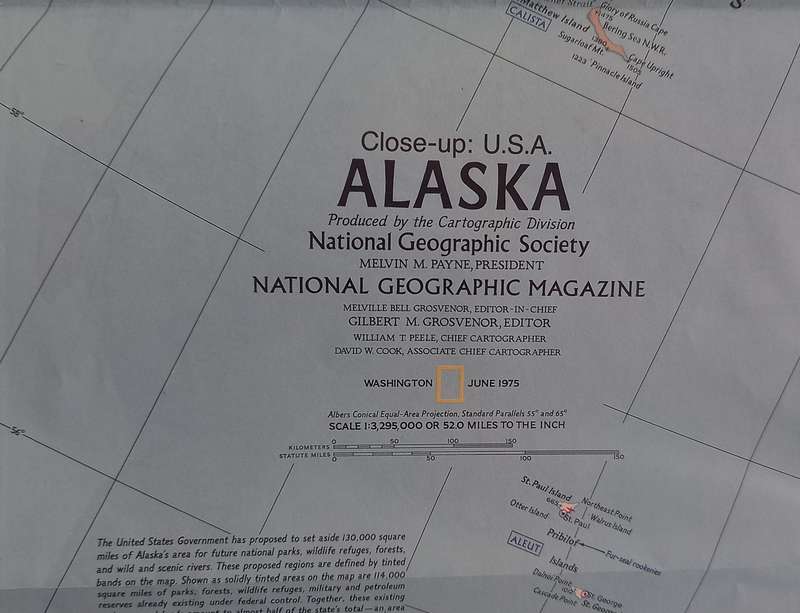
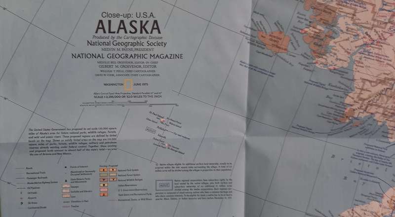
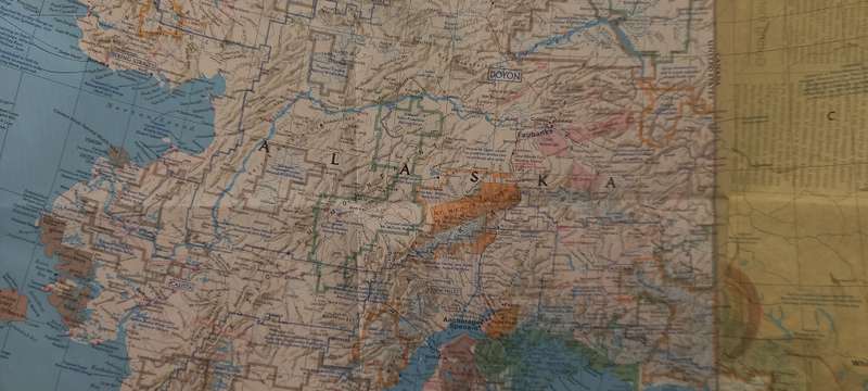
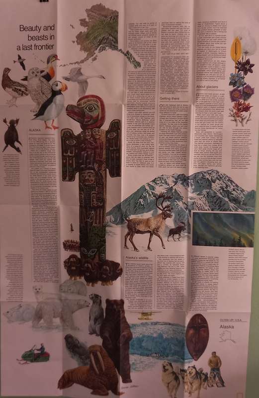
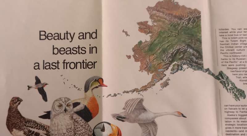
1975 Folded Map of ALASKA Published By National Geographic 89cmx70cm
Great Condition unfolded for the 1st time to take the photos.
Discover Alaska's incomparable wilderness and compelling history with this informative travel map, part of the "Close-up: U.S.A" series. Half of a two-map set published in June 1975, the Alaska map highlights parks, forests, and wildlife refuges, showing both existing sites and proposed areas.
Size
DETAILS
Discover Alaska's incomparable wilderness and compelling history with this informative travel map, part of the "Close-up: U.S.A" series. Half of a two-map set published in June 1975, the Alaska map highlights parks, forests, and wildlife refuges, showing both existing sites and proposed areas. Two articles accompanied this map including "Preserving America's Last Great Wilderness."
The 1975 Alaska map features:
Historical notes
National parks, national forests, national wildlife refuges, Indian reservations, U.S. government reservations, state historic parks and monuments, state scenic and recreational parks, and recreational, scenic, or wild rivers
Ski areas and points of interest
Cities, towns, and abandoned or seasonally occupied settlements
Alaska marine highway system, roads, passenger railroads, recreational trails, and airports
Mountains, rivers, lakes, swamps, ice fields and glaciers, and lava
Native regional corporations