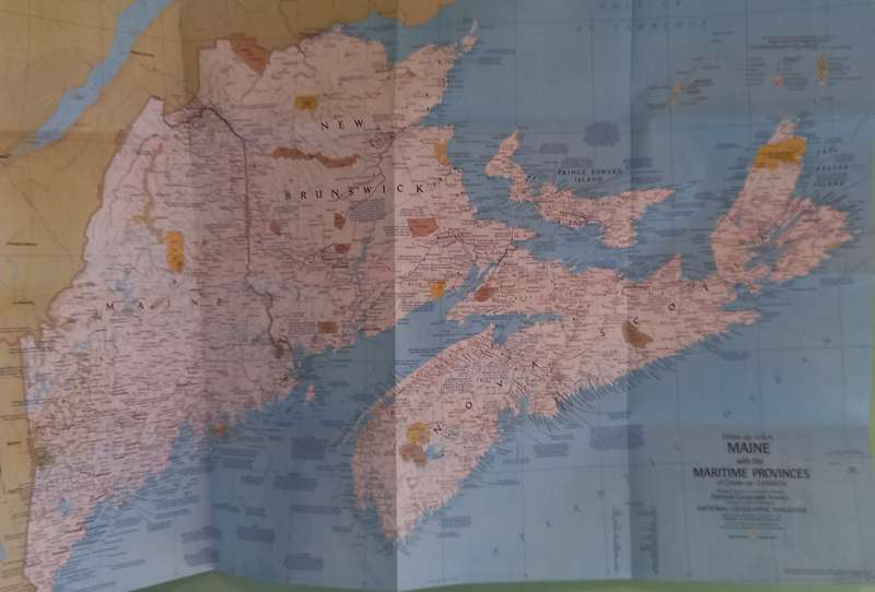
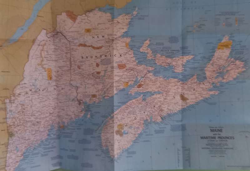
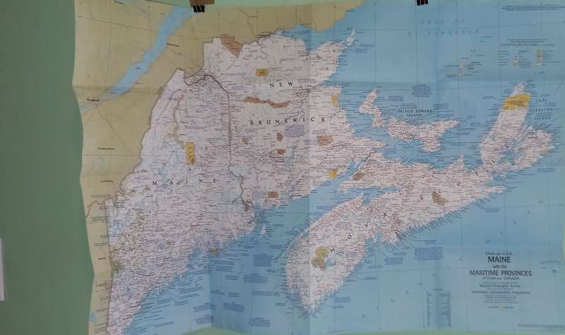
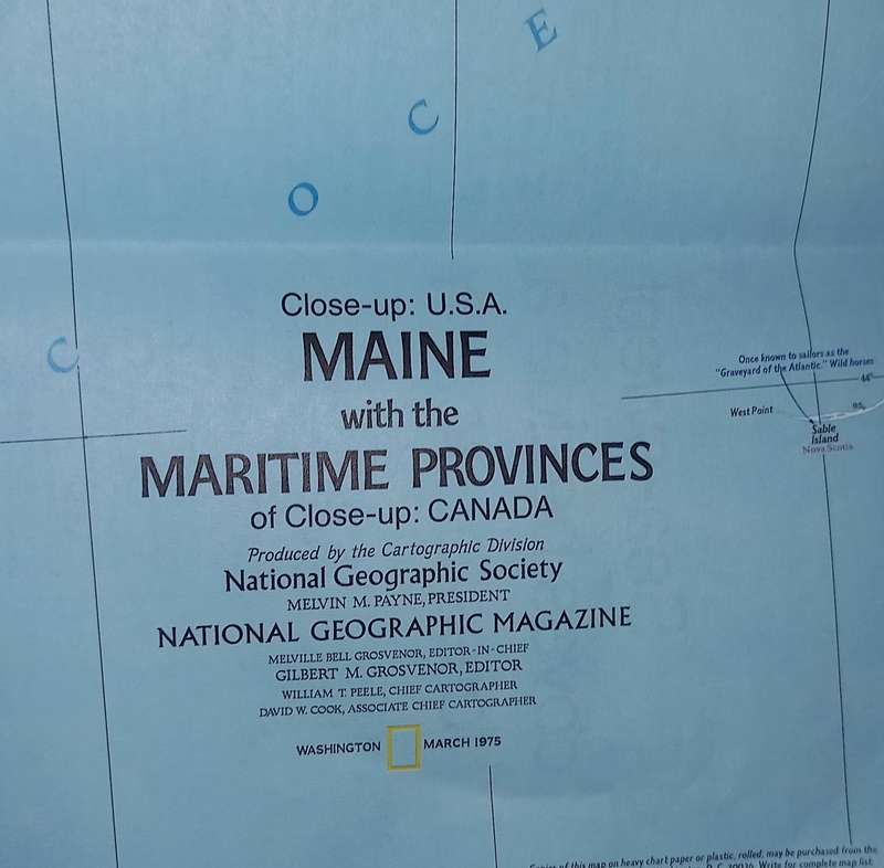

1975 Folded Map of  MAINE U.S.A Published By National Geographic 57x89cm 1975 Folded Map of  MAINE U.S.A Published By National Geographic 57x89cm 1975 Folded Map of  MAINE U.S.A Published By National Geographic 57x89cm 1975 Folded Map of  MAINE U.S.A Published By National Geographic 57x89cm 1975 Folded Map of  MAINE U.S.A Published By National Geographic 57x89cm 1975 Folded Map of  MAINE U.S.A Published By National Geographic 57x89cm 1975 Folded Map of  MAINE U.S.A Published By National Geographic 57x89cm 1975 Folded Map of  MAINE U.S.A Published By National Geographic 57x89cm 1975 Folded Map of  MAINE U.S.A Published By National Geographic 57x89cm 1975 Folded Map of  MAINE U.S.A Published By National Geographic 57x89cm
1975 Folded Map of  MAINE U.S.A Published By National Geographic 57x89cm 1975 Folded Map of  MAINE U.S.A Published By National Geographic 57x89cm 1975 Folded Map of  MAINE U.S.A Published By National Geographic 57x89cm 1975 Folded Map of  MAINE U.S.A Published By National Geographic 57x89cm
1975 Folded Map of  MAINE U.S.A Published By National Geographic 57x89cm
+6

1975 Folded Map of MAINE U.S.A Published By National Geographic 57x89cm

1 available / secondhand
R10.00 minimum increment
R75.00
Shipping
Free shipping is available from Be-Amazed for all orders above R2,000.00, using one of our trusted couriers.
Check my rate
The seller allows collection for this item. Buyers will receive the collection address and time once the order is ready.
The seller has indicated that they will usually have this item ready to ship within 3 business days. Shipping time depends on your delivery address. The most accurate delivery time will be calculated at checkout, but in general, the following shipping times apply:
 
Standard Delivery
Main centres:  1-3 business days
Regional areas: 3-4 business days
Remote areas: 3-5 business days
Seller

Product details

Condition
Secondhand
Location
South Africa
Product code
Lot144
Bob Shop ID
643852334

I sell on bidorbuy.co.za

Will Courier within 3 working Days after payment From Johannesburg.

Shipping will be combined.

No International shipping -Sorry


1975 Folded Map of  MAINE U.S.A Published By National Geographic 57x89cm

Great Condition unfolded for the 1st time to take the photos. 

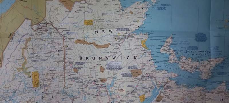
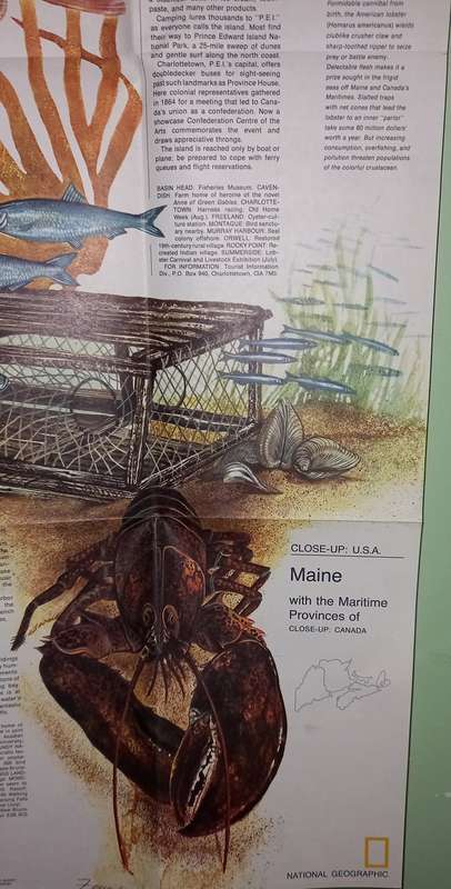
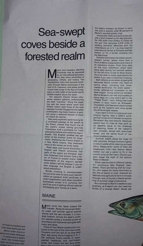
This map details Maine, the most northeastern state in the United States, as well as the surrounding Canadian maritime provinces of New Brunswick, Nova Scotia, and Prince Edward Island. Includes a wealth of notes about the festivals, events, and historical sites one can visit in this scenic region. Published in March 1975 as part of the Close-up: U.S.A. series, with a companion travel poster and an article on Nova Scotia. Size: 35.25 x 22.75 in. Publication Date: 1975. Publisher: National Geographic

Please see ALL IMAGES for Condition- Multiple Images Uploaded -
 The pictures of the items form part of the description
Please Note: On the Bank Notes I am not using Uncirculaded in the description because there are different opinions on what a UNC note or coin is.
Colours depicted in the photos of items may differ from the actual colour of the items due to many factors including the light and the time of day that the photos are taken.
I always try to get the description 100% correct with some research but can get it wrong sometimes ..


Add to cart

Recently viewed

See more
Bungee Straps Superstrong 1.2M Yellow
R197.00
Henry IV, Part 1 : William Shakespeare (Paperback)
R60.00
67% OFF
Rubber hose latex small airway banana tendon
R88.00 R265.00
Spad XIII - 1/72 Scale (Academy12446)
R100.00

Similar products

National Geographic Folded Map of The Balkans 1999
R155.00
National Geographic Folded Map of Quebec March 1991
R195.00
National Geographic Folded Map Canada November 1985
R195.00
National Geographic Folded Map of The South East USA Oct 1975
R125.00