Free shipping is available from CapeCollectables for all orders above R1,500.00, using one of our trusted couriers. Check my rate
The seller allows collection for this item. Buyers will receive the collection address and time once the order is ready.
The seller has indicated that they will usually have this item
ready to ship within 3 business days.
Shipping time depends on your delivery address.
The most accurate delivery time will be calculated at checkout,
but in general, the following shipping times apply:
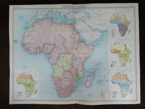
Title: Africa Political Wall Map Laminated. The Africa Political Poster Map is a colour-coded map of the African continent which indicates major and secondary cities and towns as well as major roads. Included are inset maps of Azores, Cape Verde, Seychelles and Mauritius, and a panel showing the flags of all the African countries. The wall map is not only educational, but very decorative as well. Great for classroom display or at home. Ideal for young or old and a great interactive activity. Scale: 1:9 000 000 Edition: 2nd Format: Gloss Paper Laminated Size: 690 x 1000 MM Condition: New. Price: R 495.00 Inc Vat.