Antique Carta Geografica Del Regno Di Corsica Framed Map (Plate) Published by Giambattista Abrizzi Antique Carta Geografica Del Regno Di Corsica Framed Map (Plate) Published by Giambattista Abrizzi Antique Carta Geografica Del Regno Di Corsica Framed Map (Plate) Published by Giambattista Abrizzi Antique Carta Geografica Del Regno Di Corsica Framed Map (Plate) Published by Giambattista Abrizzi Antique Carta Geografica Del Regno Di Corsica Framed Map (Plate) Published by Giambattista Abrizzi Antique Carta Geografica Del Regno Di Corsica Framed Map (Plate) Published by Giambattista Abrizzi Antique Carta Geografica Del Regno Di Corsica Framed Map (Plate) Published by Giambattista Abrizzi Antique Carta Geografica Del Regno Di Corsica Framed Map (Plate) Published by Giambattista Abrizzi Antique Carta Geografica Del Regno Di Corsica Framed Map (Plate) Published by Giambattista Abrizzi Antique Carta Geografica Del Regno Di Corsica Framed Map (Plate) Published by Giambattista Abrizzi Antique Carta Geografica Del Regno Di Corsica Framed Map (Plate) Published by Giambattista Abrizzi Antique Carta Geografica Del Regno Di Corsica Framed Map (Plate) Published by Giambattista Abrizzi
Antique Carta Geografica Del Regno Di Corsica Framed Map (Plate) Published by Giambattista Abrizzi Antique Carta Geografica Del Regno Di Corsica Framed Map (Plate) Published by Giambattista Abrizzi Antique Carta Geografica Del Regno Di Corsica Framed Map (Plate) Published by Giambattista Abrizzi Antique Carta Geografica Del Regno Di Corsica Framed Map (Plate) Published by Giambattista Abrizzi
Antique Carta Geografica Del Regno Di Corsica Framed Map (Plate) Published by Giambattista Abrizzi
+8

Antique Carta Geografica Del Regno Di Corsica Framed Map (Plate) Published by Giambattista Abrizzi

1 available / secondhand
R1,750.00
Shipping
This product qualifies for free shipping in South Africa, using one of our trusted couriers.
Check my rate
The seller allows collection for this item. Buyers will receive the collection address and time once the order is ready.
The seller has indicated that they will usually have this item ready to ship within 3 business days. Shipping time depends on your delivery address. The most accurate delivery time will be calculated at checkout, but in general, the following shipping times apply:
 
Standard Delivery
Main centres:  1-3 business days
Regional areas: 3-4 business days
Remote areas: 3-5 business days
Seller
Buyer protection
Get it now, pay later

Product details

Condition
Secondhand
Location
South Africa
Area
Europe
Time Period
Pre-1800s
Type
Political Map
Product code
8326876
Bob Shop ID
630991916

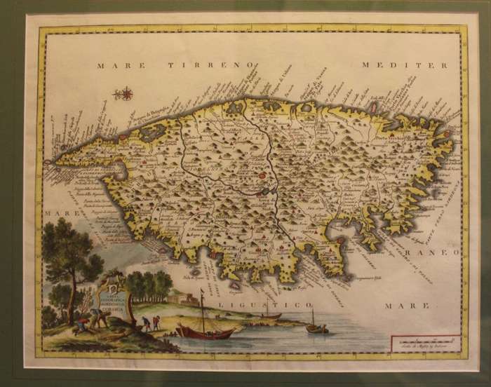
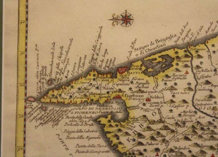
Title: Antique Carta Geografica Del Regno Di Corsica Framed Map (Map Plate) Published by Giambattista Abrizzi.
Publisher: Giambattista Albrizzi, VeniceĀ  circa 1740.
Format: Glass Framed Map, Hand Coloured from a Copper plate engraving.
Frame Height: 54.0cm.
Frame Width: 63.0cm.
Map Height: 35.0cm.
Map Width: 44.0cm.
Info: Hand-coloured plate taken from "Lo Stato Presente Di Tutti I Popoli E Paesi Del Mondo" published in Venice by Albrizzi.
Published between 1740 - 1750 by Giambattista Albrizzi the maps, which were derived from works by Guillaume de L'Isle and Isaak Tirion, were utilised in his "Atlante Novissimo, Che Contiene Tutte Le Parti Del Monde"
This work, in 27 Volumes, is an Italian translation of the books by Thomas Salmon entitled "Modern History, or the Present State of All Nations" published between 1725 and 1739 In London in 32 Volumes.
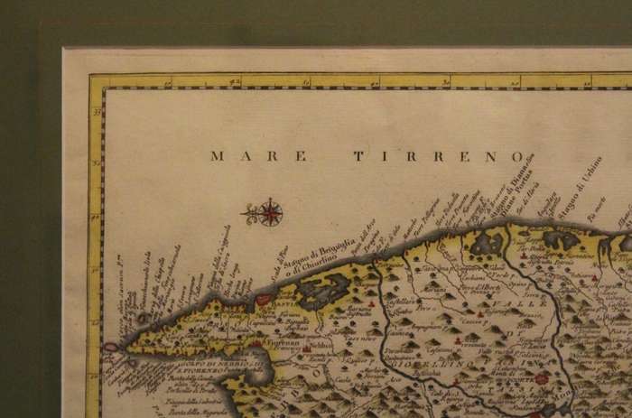
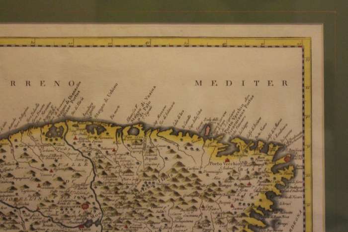
The map has a central fold that can be seen which indicates that it is an old plate that has been framed.
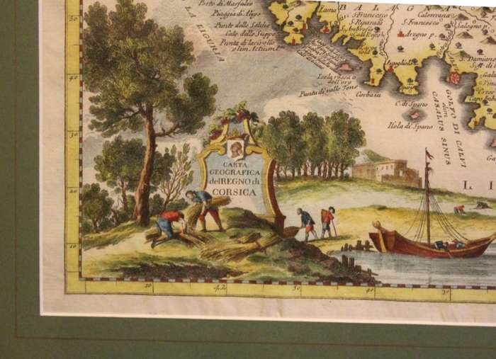
The map includes a decorative cartouche with vignettes and excellent geographical detail.
A very attractive looking map in a lovely frame.
Guillaume de l'Isle, was a French cartographer known for his popular and accurate maps of Europe and the newly explored Americas.
Isaak Tirion was an 18th-century publisher from the Northern Netherlands, he is most remembered for his Hedendaagsche historie (Modern History) and his Vaderlandse Historie, both historical reference works that were illustrated with engravings by leading artists of Amsterdam
Condition: Very Good, the map and frame are in very good condition, framed in England.
Price: R 1750.00 Inc Vat.


Add to cart

Recently viewed

See more
Macrame Wall Hanging Shelf - Crochet Woven Hanging Wall
R543.00
Car Power Trunk Switch for Mercedes Benz W212 S212 E200 2129059200
R444.00
Love Crime and Johannesburg - VANDERMERWE,J
R265.00
For Samsung Galaxy S20 Battery Back Cover (Black)
R247.32

Similar products

Framed Antique Map of Northumberland By Thomas Moule 1836
R1,200.00
56% OFF
1795 original antique map of the Cape of Good Hope
R7,500.00 R17,200.00
17% OFF
SAXTON'S MAP OF LANCHASHIRE 1577 PRINTED IN 1966 MAP FRAMED
R1,450.00 R1,750.00
1855 Map of Africa, Excellent Condition, Original Antique Map
R235.00