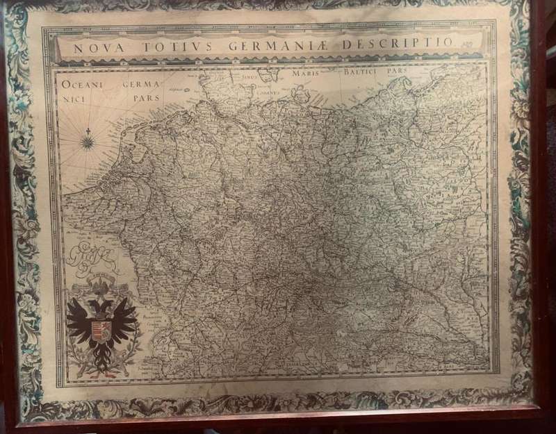
Antique Map Lithograph Nova Totius Germaniae Descriptio Vintage Map
Check my rate
| Main centres: | 1-3 business days |
| Regional areas: | 3-4 business days |
| Remote areas: | 3-5 business days |

| Main centres: | 1-3 business days |
| Regional areas: | 3-4 business days |
| Remote areas: | 3-5 business days |
Nova Totius Germaniae Descriptio (New representation of all Germany) Map.
Map Lithograph Vintage
58cm Width 48cm Height
Rare early edition of Blaeu's map of the German Empire, including the Netherlands, Germany, Switzerland, Austria, Bohemia, Moravia, Poland and the Baltic Countries. From the 1634 edition of Blaeu's Atlas Novus, the first edition of this work. A fine dark impression. The map first appeared in Blaeu's rare 1631 Atlas Appendix. This is the second appearance of the map in Blaeu's atlas. A fine dark impression, with wide margins and attractive color
Willem Janszoon Blaeu (1571-1638) was a prominent Dutch geographer and publisher. Born the son of a herring merchant, Blaeu chose not fish but mathematics and astronomy for his focus. He studied with the famous Danish astronomer Tycho Brahe, with whom he honed his instrument and globe making skills. Blaeu set up shop in Amsterdam, where he sold instruments and globes, published maps, and edited the works of intellectuals like Descartes and Hugo Grotius. In 1635, he released his atlas, Theatrum Orbis Terrarum, sive, Atlas novus.