This product qualifies for free shipping in South Africa, using one of our trusted couriers. Check my rate
The seller allows collection for this item. Buyers will receive the collection address and time once the order is ready.
The seller has indicated that they will usually have this item
ready to ship within 3 business days.
Shipping time depends on your delivery address.
The most accurate delivery time will be calculated at checkout,
but in general, the following shipping times apply:
Money-Back Guarantee:
7 Days: Excludes Cost Of Return Shipping
Get it now, pay later
Product details
Condition
Secondhand
Location
South Africa
Area
Europe
Time Period
Pre-1800s
Type
Political Map
Product code
8326015
Bob Shop ID
630056274
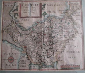
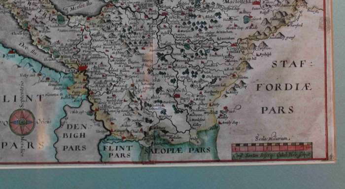
Title: Antique Map Of Cestriae / Chester by Richard Saxton 1637. Year:1637. Format: Engraved Line Drawing / Framed. Size: Unmounted size : 40cms x 33.8cms Engraving: Cestriae Comitatus Romanis Legionibus et Colonijs olim insignis vera et absoluta descriptio. Surveyor: Richard Saxton. Engraved: William Hole. Condition: Good, there is a crease in the crease- due to join from 2 x plates. An early engraved map of the county engraved by William Hole after the survey by Christopher Saxton. The title is displayed on the pages of an open book. Compass rose and scale. Hand coloured. Map: Original release. Price: R 1650.00 Inc Vat.