Antique Map of Southern India by J Rapkin 1850 Antique Map of Southern India by J Rapkin 1850 Antique Map of Southern India by J Rapkin 1850 Antique Map of Southern India by J Rapkin 1850 Antique Map of Southern India by J Rapkin 1850 Antique Map of Southern India by J Rapkin 1850 Antique Map of Southern India by J Rapkin 1850 Antique Map of Southern India by J Rapkin 1850 Antique Map of Southern India by J Rapkin 1850
Antique Map of Southern India by J Rapkin 1850 Antique Map of Southern India by J Rapkin 1850 Antique Map of Southern India by J Rapkin 1850 Antique Map of Southern India by J Rapkin 1850
Antique Map of Southern India by J Rapkin 1850
+5

Antique Map of Southern India by J Rapkin 1850

1 available / secondhand
R985.00
Shipping
Free shipping is available from CapeCollectables for all orders above R1,500.00, using one of our trusted couriers.
Check my rate
The seller allows collection for this item. Buyers will receive the collection address and time once the order is ready.
The seller has indicated that they will usually have this item ready to ship within 3 business days. Shipping time depends on your delivery address. The most accurate delivery time will be calculated at checkout, but in general, the following shipping times apply:
 
Standard Delivery
Main centres:  1-3 business days
Regional areas: 3-4 business days
Remote areas: 3-5 business days
Seller
Buyer protection
Get it now, pay later

Product details

Condition
Secondhand
Location
South Africa
Area
Asia
Time Period
1800s
Type
Political Map
Product code
8327338
Bob Shop ID
631250867

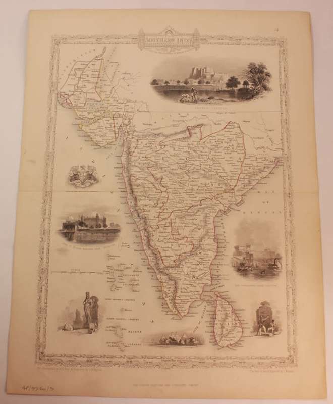
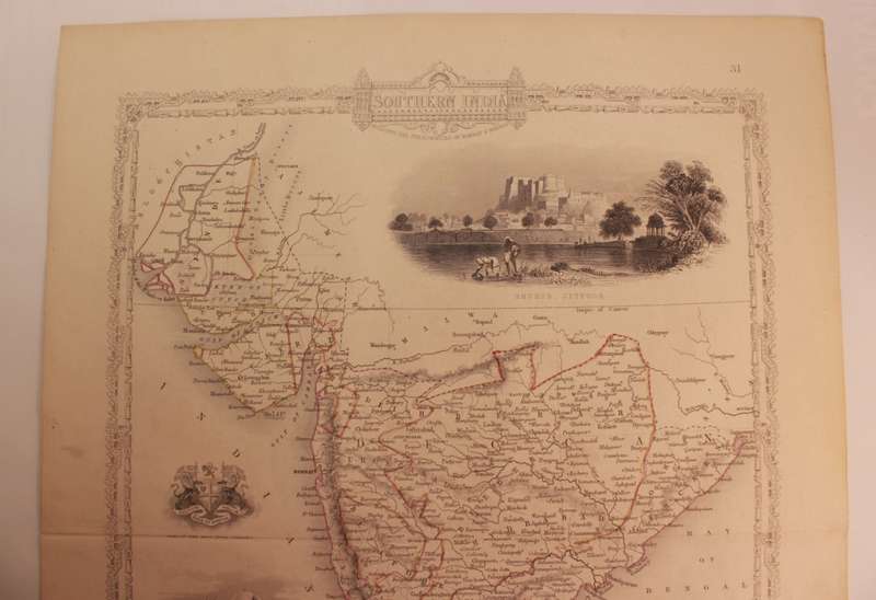
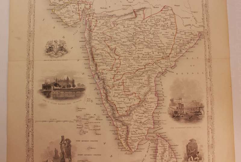
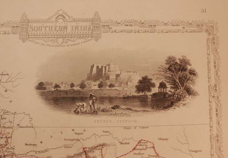
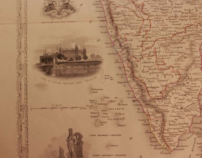
Title: Antique Map of Southern India by J Rapkin 1850.
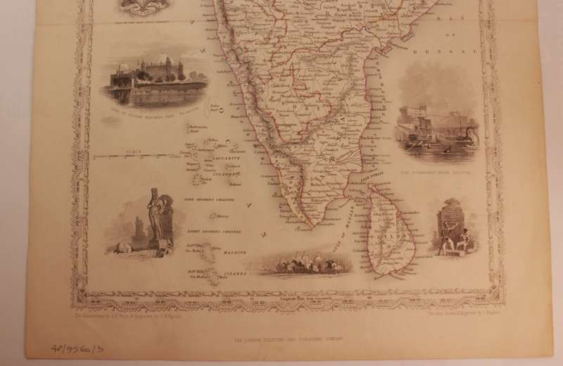
Publisher: The London Printing and Publishing Company.
Format: Single Folio from The Illustrated Atlas and Modern History of the World Geographical, Political, Commercial & Statistical. John Tallis & Company.
Height: 36.0cm.
Width: 27.5cm.
Info: Southern India including the Presidencies of Bombay and Madras.
London & New York: John Tallis & Company, 1849. 
A Charming 19th century depiction of Southern India. 
Vignettes surrounding the map are beautifully illustrated and depict the Shuhur in Jeypoor, The Seal of the East India Company, The Tomb of Sultan Mahomed Shah in Bejapoor as well as Government House in Calcutta, all enclosed within an elegant border.
The Illustrations by AH Wray & Engraved by JH Kernot.
Condition: Good, the map has been well cared or, no tears, with a fold down the middle, it is one contiguous map plate.
Price: R 985.00 Inc Vat.


Add to cart

Recently viewed

THE TRUTH ABOUT CATS & DOGS - Original motion picture soundtrack (CD) 31454 0507 2 VG+
R50.00

Similar products

56% OFF
1795 original antique map of the Cape of Good Hope
R7,500.00 R17,200.00
Free shipping
1859 India 2 Map Pair by J. and C. Walker- Both have slight tears in the middle
R7,999.99
Antique Map of Holland by John Tallis 1851
R950.00
1855 Map of Africa, Excellent Condition, Original Antique Map
R235.00