This is a digital product (eg. voucher, product license, service, etc.) and does not require shipping.
The seller will be in contact to deliver this product to you electronically.
The seller has indicated that they will usually have this item
ready to ship within 3 business days.
Shipping time depends on your delivery address.
The most accurate delivery time will be calculated at checkout,
but in general, the following shipping times apply:
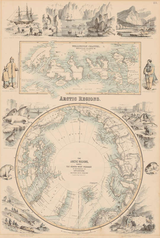
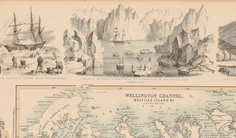
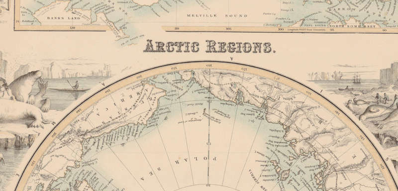
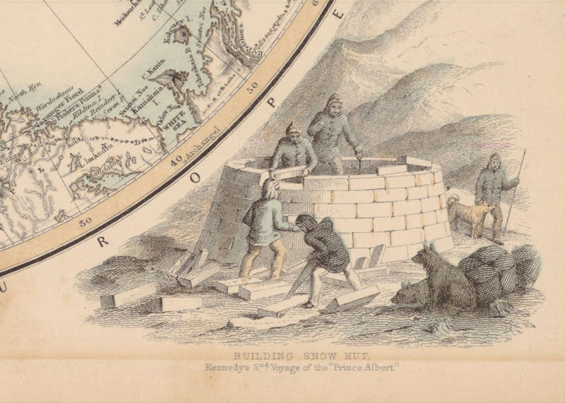
Title: Arctic Regions 1862 With The North West Passage Digital Maps Digital Download. Publisher: A Fullarton & Co, London & Edinburgh, first published in 1864. Format: Vintage Printed Maps that have been scanned and saved as Tiff images. File Size: 36.6MB TIF File Scale: Unknown. Engraved By: A Fullarton. Print To A2 / A1 Size. Info: The Arctic Regions showing The North West Passage as determined by Cap R McClure and other Arctic Voyagers Compiled by J Hugh Johnson FRGS. The map aslo depicts the Wellington Channel, Melville Island from Admiralty Chart. III. The Map is surrounded by local scenes, wildlife, and depictions of local people. The Northwest Passage was first navigated successfully by Roald Amundsen between 1903 and 1906. While earlier expeditions attempted the route, Amundsen's voyage in the tiny ship Gjoa was the first to transit the passage from the Atlantic to the Pacific Format: Digital files transferred via WeTransfer - A download Link will be forwarded on completion of order. Price: R 245.00 Inc Vat.