

| Main centres: | 1-3 business days |
| Regional areas: | 3-4 business days |
| Remote areas: | 3-5 business days |
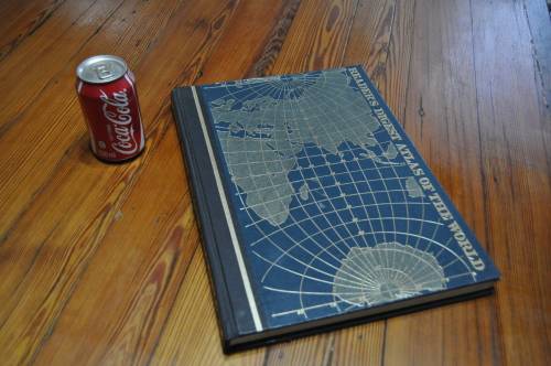
Department of Surveys and Mapping, 2001, hardcover, profusely illustrated, 404 pages, 30.5 cms x 35 cms x 3.5cms, condition: as new.
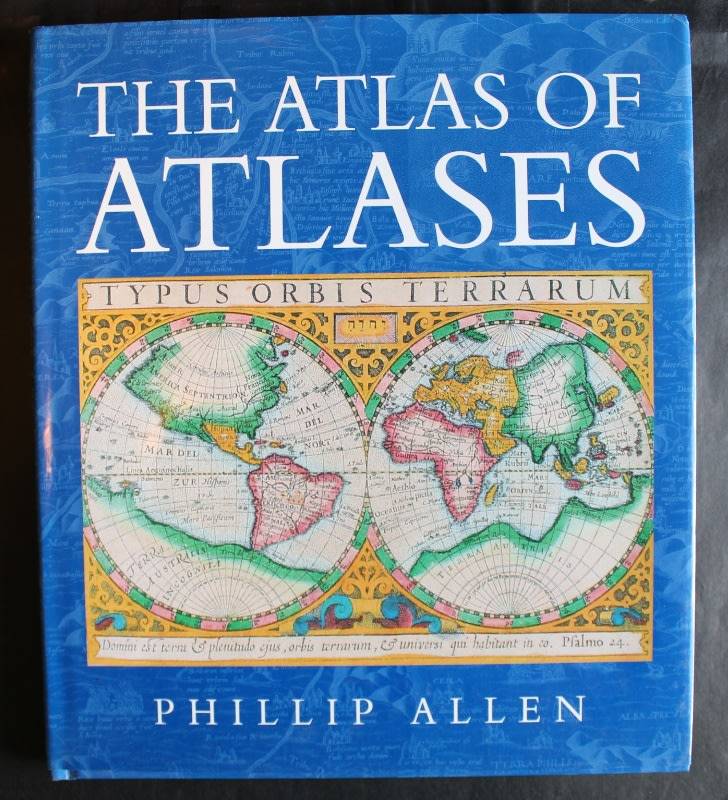
The Botswana National Atlas is an encyclopaedia of information that will significantly improve knowledge about Botswana world-wide. It gives answers to most questions concerning Botswanas past, present. and future. As depicted by the artistic cover, the Atlas provides reference material for a wide spectrum of disciplines such as Geography, Education, Culture, Environment and Land use to mention but a few. This is the first ever National Atlas of Botswana, a single bound book comprising 413 pages in 29 chapters: Geography of Botswana; Geology and Geomorphology of Botswana; Weather and Climate; Surface Hydrology; Hydrogeology of Botswana; Water Resources; Soils and Vegetation; National Conservation Strategy; Agriculture; Minerals and Mining; Energy; Land Use Planning; Land Information and Mapping; Land Administration; Tenure Systems and Housing; Wildlife; Tourism, Population; Education and Training; Health Services; Public Finance and Economic Development; Commerce and Industry; Transport and Communication; Botswanas International Relations; Culture and Heritage; Democracy, Governance and Politics; Law, Justice and Security; Women in Development; Youth and National Development and The Okavango Delta. The Atlas is an encyclopedia of information that will significantly improve knowledge about Botswana worldwide. It gives answers to most questions concerning Botswana's past, present, and future. As depicted by the artistic cover, the Atlas provides reference material for a wide spectrum of disciplines such as Geography, Education, Culture, Environment, and Land Use. It covers all aspects of human, economic, and physical geography. Includes text, charts, photographs, and maps, all in color. A large authoritative coffee-table book.