British Antarctic Expedition 1907 (Nimrod Expedition) Digital Map Download British Antarctic Expedition 1907 (Nimrod Expedition) Digital Map Download British Antarctic Expedition 1907 (Nimrod Expedition) Digital Map Download British Antarctic Expedition 1907 (Nimrod Expedition) Digital Map Download British Antarctic Expedition 1907 (Nimrod Expedition) Digital Map Download British Antarctic Expedition 1907 (Nimrod Expedition) Digital Map Download British Antarctic Expedition 1907 (Nimrod Expedition) Digital Map Download
British Antarctic Expedition 1907 (Nimrod Expedition) Digital Map Download British Antarctic Expedition 1907 (Nimrod Expedition) Digital Map Download British Antarctic Expedition 1907 (Nimrod Expedition) Digital Map Download British Antarctic Expedition 1907 (Nimrod Expedition) Digital Map Download
British Antarctic Expedition 1907 (Nimrod Expedition) Digital Map Download
+3

British Antarctic Expedition 1907 (Nimrod Expedition) Digital Map Download

Digital product
New 1 available
Only 1 left – grab it before it’s gone!
R195.00
Shipping
This is a digital product (eg. voucher, product license, service, etc.) and does not require shipping. The seller will be in contact to deliver this product to you electronically.
The seller has indicated that they will usually have this item ready to ship within 3 business days. Shipping time depends on your delivery address. The most accurate delivery time will be calculated at checkout, but in general, the following shipping times apply:
 
Standard Delivery
Main centres:  1-3 business days
Regional areas: 3-4 business days
Remote areas: 3-5 business days
Seller
Buyer protection
Get it now, pay later

Product details

Condition
New
Location
South Africa
Area
Antartica
Time Period
1900-1950
Type
Nautical Charts
Bob Shop ID
654130099

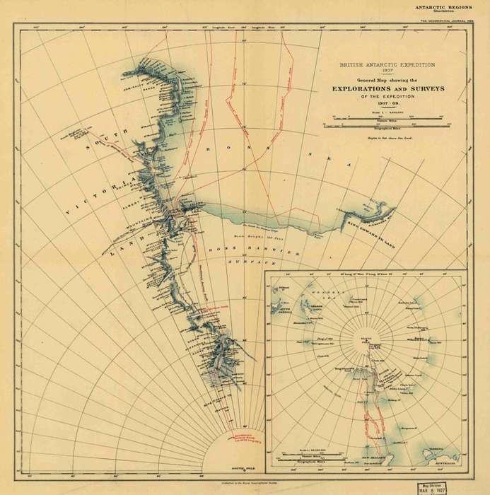
Title: British Antarctic Expedition 1907 (Nimrod Expedition) Digital Map Digital Download.
Publisher: Royal Geographical Society, 1909.
Format: Vintage Printed Maps that have been scanned and saved as Tiff images.
File Size: Total of 78MB.
Total Number of Files: One.
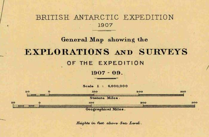
Scale: 1: 6 000 000
Print To A3 Size.
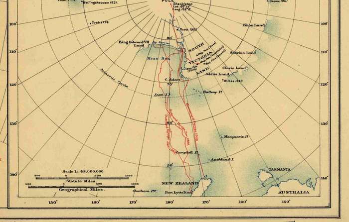
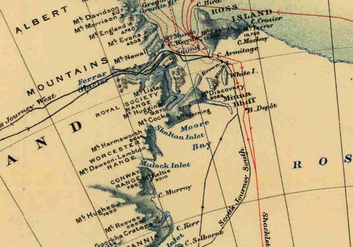
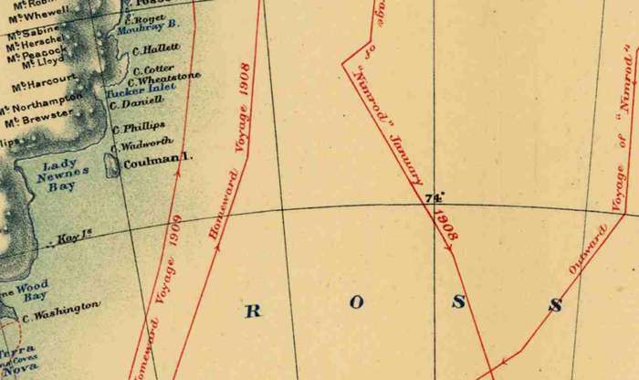
Info: British Antarctic Expedition of 1907, General Map showing the Explorations and Surveys of the Expedition 1907 - 1909. Shackleton with the vessel Nimrod.
The Nimrod Expedition of 19071909, otherwise known as the British Antarctic Expedition, was the first of three expeditions to the Antarctic led by Ernest Shackleton and his second time to the Continent. Its main target, among a range of geographical and scientific objectives, was to be first to reach the South Pole. This was not attained, but the expedition's southern march reached a Farthest South latitude of 88° 23' S, just 97.5 nautical miles (180.6 km; 112.2 mi) from the pole. This was by far the longest southern polar journey to that date and a record convergence on either Pole.[a] A separate group led by Welsh Australian geology professor Edgeworth David reached the estimated location of the South magnetic pole, and the expedition also achieved the first ascent of Mount Erebus, Antarctica's second highest volcano.
Format: Digital files transferred via WeTransfer - A download Link will be forwarded on completion of order.
Price: R 195.00 Inc Vat.


Add to cart

Recently viewed

See more
17% OFF
Elfbar EW9000 Kit Mixed box of 10
New
R2,477.00 R3,000.00
45% OFF
1Pc 40x120cm Floor Mat
New
R430.00 R782.00
FOOTPRINTS clock. Needs repair. Not tested
Secondhand
R250.00
1922 Britain 3 Pence tickey, silver
Secondhand
R35.00 No bids

Similar products

1905 Map of Africa, Excellent condition, Original German Mayer Map Showing Expeditions
Secondhand
R395.00
Cape Reconnaissance Maps @ 1907/1914 Set of 38 Digital Maps Digital Download
New
R475.00
National Geographic Map of Antarctica 1987 Digital Maps Digital Download
New
R195.00
National Geographic North Pole 1907 Digital Maps Digital Download
New
R245.00