Similar products

| Main centres: | 1-3 business days |
| Regional areas: | 3-4 business days |
| Remote areas: | 3-5 business days |
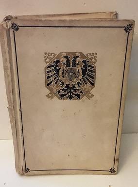
Published 1922 - The Times Survey Atlas of the World
What a fabulous find for the Serious Collector of RARE Atlases and Books! This Selfridge Edition which was published in 1922 consists of a comprehensive series of new and authentic maps, reduced from the national surveys of the world and the special surveys of travelers and explorers with general index of over two hundred thousand names, prepared at the "Edenburgh Geographical Institute" under the direction of JG Bartholomew, cartographer to the King, dedicated by permission to His Majesty the King, published by the The Times, Printing House Square, London, EC4. Red Hard Cover, measures 46x30cm and is 6.5cm thick. Once the maps are folded open, they measure 58x45cm. Weight: 6.5kg.
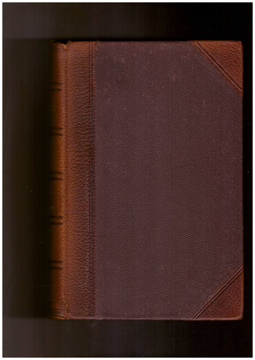
Notice the map plates and pages have come loose from the spine binding, I presume they were originally attached to the spine, now they are no longer attached to the spine but are present. This fabulous vintage and rare book deserves professional restoration of the binding. The edges of the introductory and end pages (Index, Pronunciation and Gazetteer pages) are of a thinner paper than the maps and are showing wear, small folds and uneven in places. The maps are of a thicker and sturdier paper and are in good vintage condition.
I have researched this book and have not come across the complete book like this one, but have seen the individual plate maps selling for between R250 - R400 each. Though the 112 maps we have here have come loose from the spine, I will not be splitting them up and will be selling them as belonging together in this book.
RARE and Valuable FIND!!!
This auction can close at any time - International Bidders Welcome
Shipping in SA: R75 - International shipping to be determined.
Please Click ---> HERE <--- to see all the items ziggy2000 is selling


