Vintage Surveys and Exploration Map of Africa 1909 1 x Map Digital Download Vintage Surveys and Exploration Map of Africa 1909 1 x Map Digital Download Vintage Surveys and Exploration Map of Africa 1909 1 x Map Digital Download Vintage Surveys and Exploration Map of Africa 1909 1 x Map Digital Download Vintage Surveys and Exploration Map of Africa 1909 1 x Map Digital Download Vintage Surveys and Exploration Map of Africa 1909 1 x Map Digital Download Vintage Surveys and Exploration Map of Africa 1909 1 x Map Digital Download Vintage Surveys and Exploration Map of Africa 1909 1 x Map Digital Download
Vintage Surveys and Exploration Map of Africa 1909 1 x Map Digital Download Vintage Surveys and Exploration Map of Africa 1909 1 x Map Digital Download Vintage Surveys and Exploration Map of Africa 1909 1 x Map Digital Download Vintage Surveys and Exploration Map of Africa 1909 1 x Map Digital Download
Vintage Surveys and Exploration Map of Africa 1909 1 x Map Digital Download
+4

Vintage Surveys and Exploration Map of Africa 1909 1 x Map Digital Download

Digital product
New 1 available
Only 1 left – grab it before it’s gone!
R195.00
Shipping
This is a digital product (eg. voucher, product license, service, etc.) and does not require shipping. The seller will be in contact to deliver this product to you electronically.
The seller has indicated that they will usually have this item ready to ship within 3 business days. Shipping time depends on your delivery address. The most accurate delivery time will be calculated at checkout, but in general, the following shipping times apply:
 
Standard Delivery
Main centres:  1-3 business days
Regional areas: 3-4 business days
Remote areas: 3-5 business days
Seller
Buyer protection
Get it now, pay later

Product details

Condition
New
Location
South Africa
Area
Africa
Time Period
1900-1950
Type
Political Map
Product code
8327587
Bob Shop ID
654169266

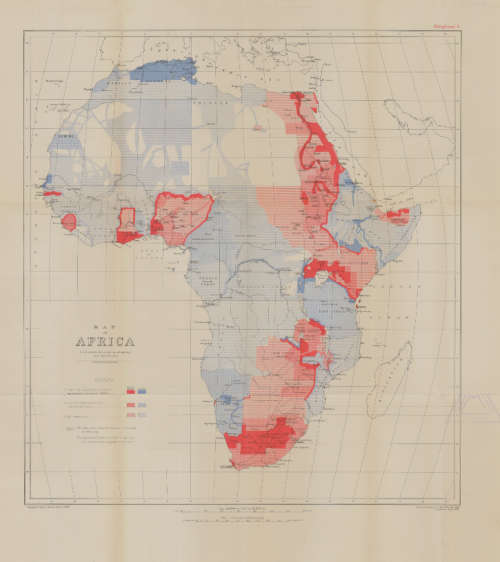
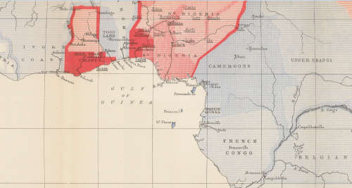
Title: Vintage Surveys and Exploration Map of Africa 1909 1 x Map Digital Download.
Publisher: Drawn and printed at the War Office 1909, Corrected Sept 1913.
Format: Vintage Printed Map that has been scanned and saved as a Tiff image.
Printed Size on a large format printer would be as follows:-
Height: @ 90cm.
Width: 75cm.
Can print up to A0 Size on a large format printer.
Total Number of Files: 1 x Tiff images @ 16MB.
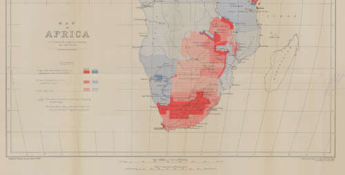
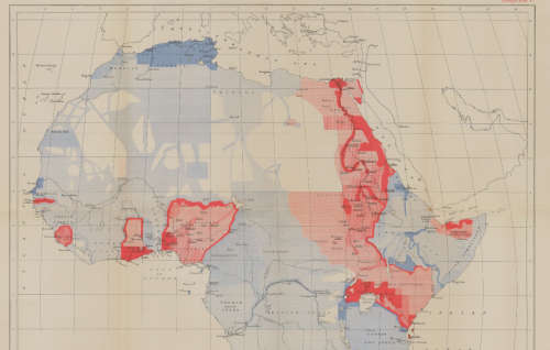
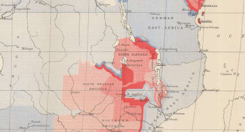
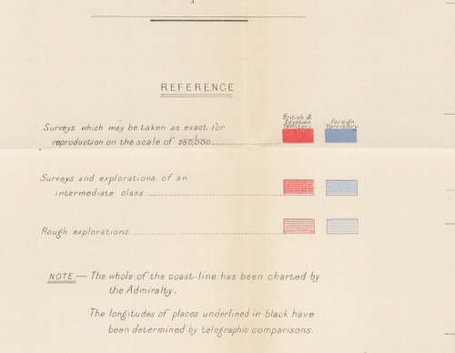
Info: A Map of Africa to illustrate the progress of Surveys and Explorations.
The whole of the coast line has been charted by the Admiralty.
Geographical Section, General Staff No 2436
Scale: 1: 20 000 000 / 1 cm = 200Km's.
Condition: Digital Download.
Price: R 195.00 Inc Vat.
On completion of the order and receipt of payment a WeTransfer link will be forwarded to your e-mail address for downloading of the file.


Add to cart

Recently viewed

See more
1Pc 40cm60cm Floor Mat
New
R279.00 No bids
33% OFF
KWS-AC301-100A 50-300V AC Digital Current Voltmeter with Closed Transformer(Black)
New
R441.00 R662.00
33% OFF
OEM LCD Screen for Alcatel 3V 2019 / 5032 with Digitizer Full Assembly W(Black)
New
R555.00 R833.00
Erasure , The two ring circus
Secondhand
R20.00

Similar products

Map of Africa by John Tallis 1880 Digital Download
New
R195.00
Deutsche-Sudwesafrika 1913 Map Digital Map Digital Download
New
R195.00
Antarctica Claims Exploration 1956 Digital Maps Digital Download
New
R195.00
South Africa 52 x District Municipality Maps Digital Download
New
R395.00