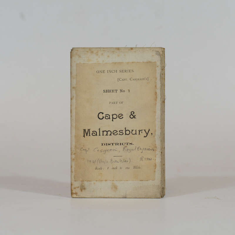
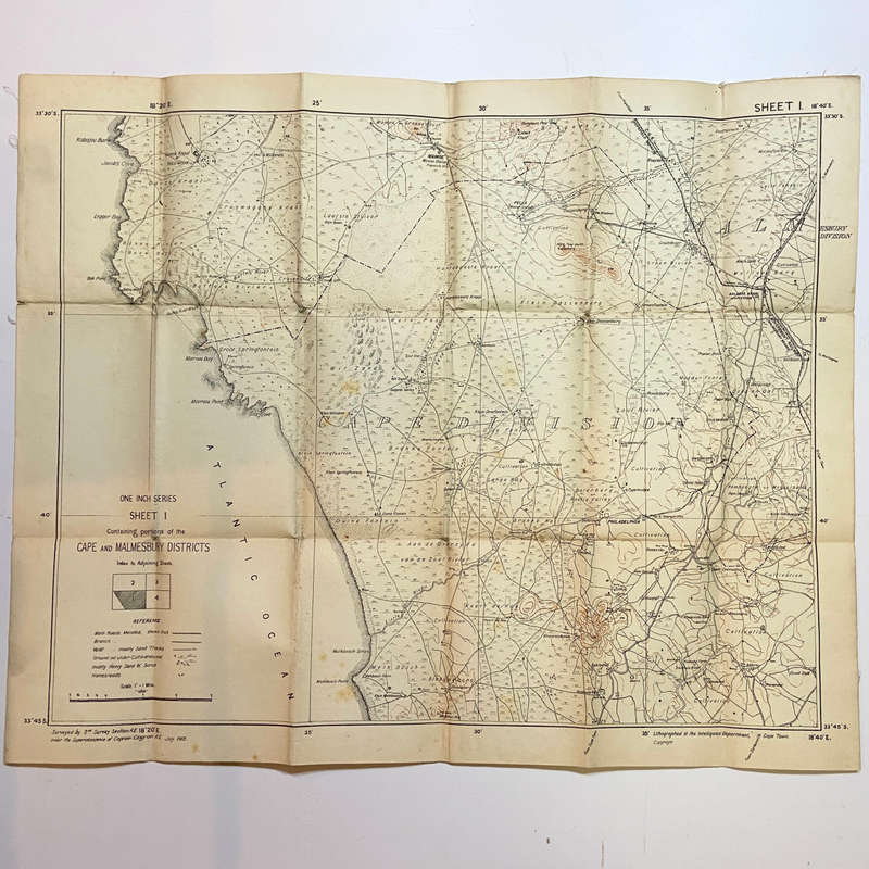
Cape & Malmesbury Districts - Folding Map - Casgrain, Capt. Cape & Malmesbury Districts - Folding Map - Casgrain, Capt.

Cape & Malmesbury Districts - Folding Map - Casgrain, Capt.

New 1 available
Only 1 left – grab it before it’s gone!
R1,350.00
Shipping
R35.00 Standard shipping using one of our trusted couriers applies to most areas in South Africa. Some areas may attract a R30.00 surcharge. This will be calculated at checkout if applicable.
Check my rate
The seller has indicated that they will usually have this item ready to ship within 3 business days. Shipping time depends on your delivery address. The most accurate delivery time will be calculated at checkout, but in general, the following shipping times apply:
 
Standard Delivery
Main centres:  1-3 business days
Regional areas: 3-4 business days
Remote areas: 3-5 business days
Seller
Buyer protection
Get it now, pay later

Product details

Condition
New
Location
South Africa
Product code
305511
Bob Shop ID
592617231

Linen backed folding map produced during the Anglo-Boer War. Interesting topographical detail including farm boundaries. 60 x 49cm

Publisher: Intelligence Dept.
Date Published: 1901
Publication Place: Cape Town

Add to cart

Recently viewed

See more
33% OFF
TAG Heuer Link Calibre 5 Automatic - WBC2110.BA0603 ()
New
R47,275.95 R71,020.00
LOGITECH C920S HD PRO WEBCAM 1080P WITH STEREO AUDIO AND PRIVACY SHUTTER
New
R1,920.10
Daniel Boone 45rpm record
Secondhand
R40.00
SOLARWIZE 24V/48V Battery Cable Kit
New
R850.00

Similar products

There Was an Old Pirate Who Swallowed a Map! - Lucille Colandro
New
R190.00
Destiny - By Capt. Desmond-Smith - Signed Copy
Secondhand
R150.00
The Blacks of Cape Town
New
R250.00
Hanover - Folding Map -
New
R1,350.00