This item has closed with no items sold
View the relisted Item
View the relisted Item
View other items offered by CapeCollectables1033
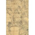
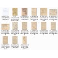
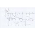
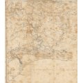
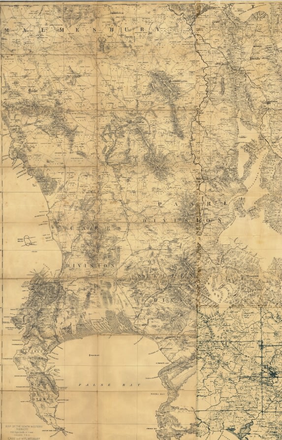
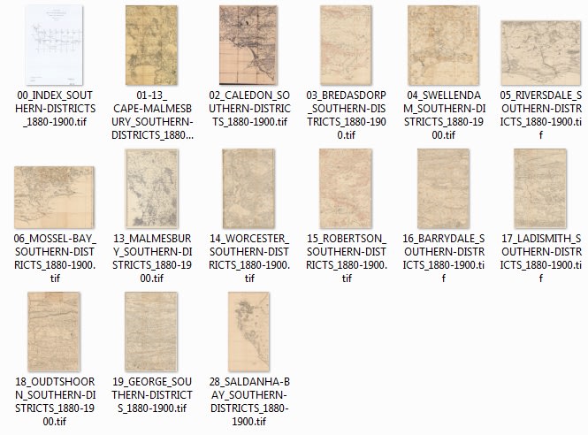
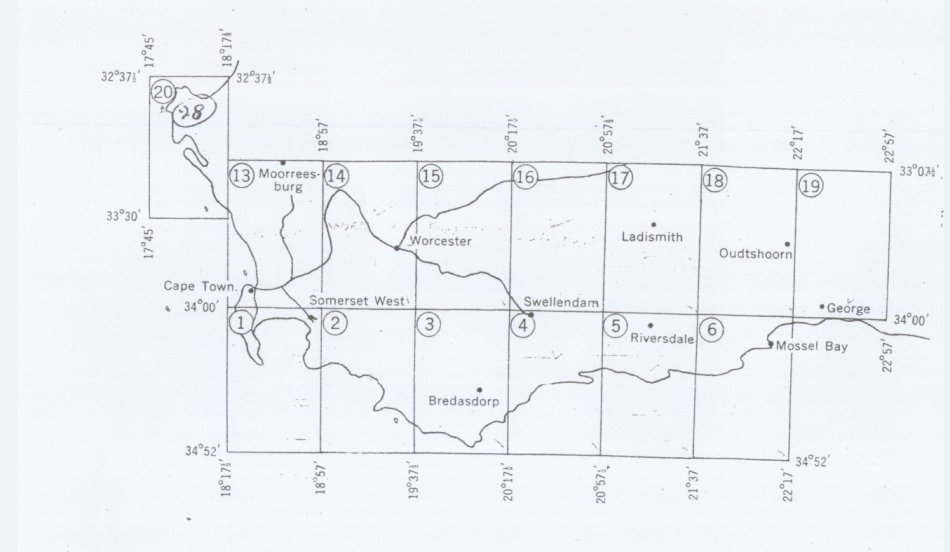
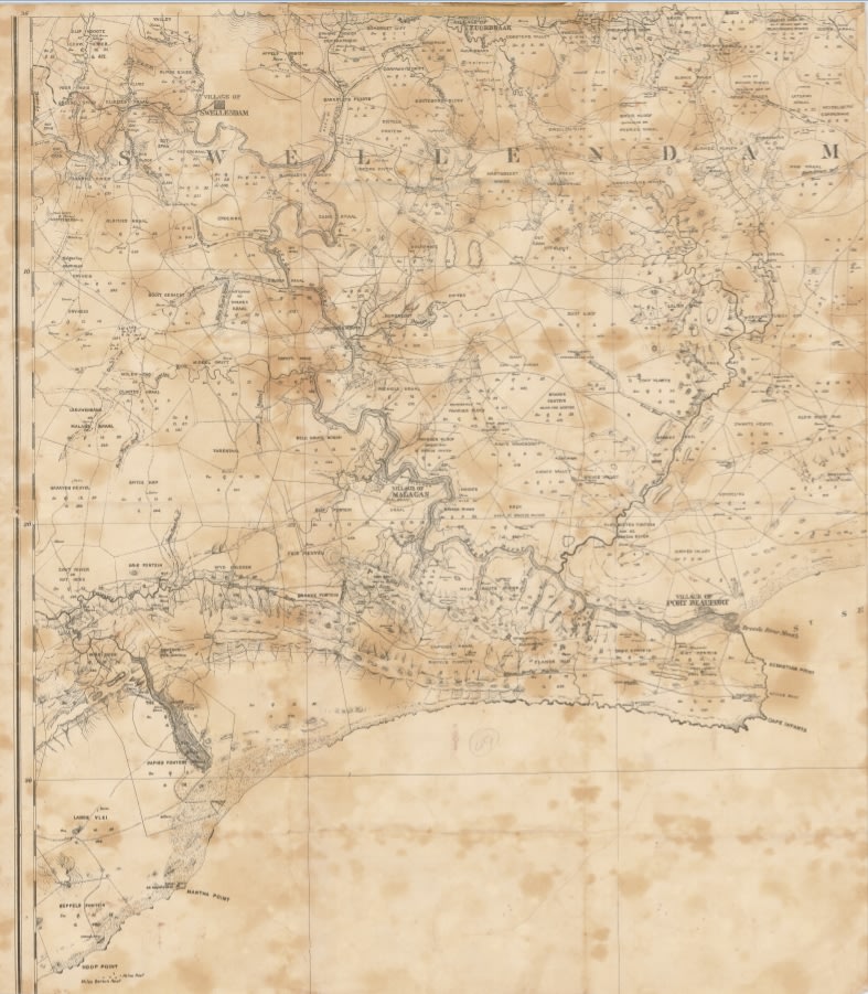
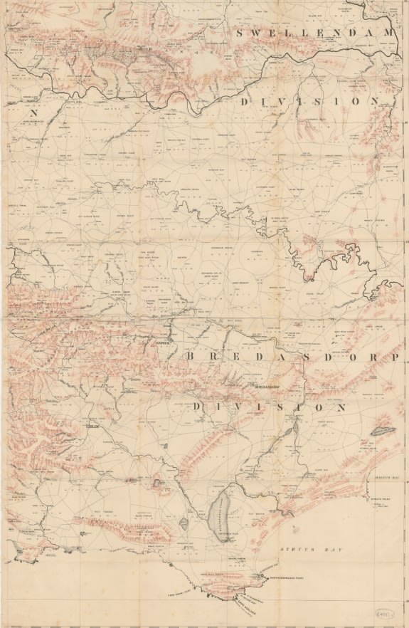
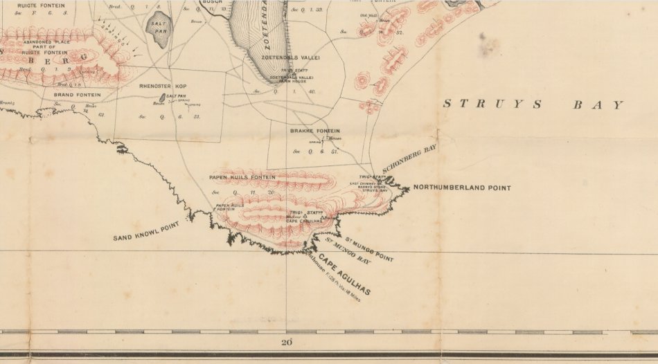
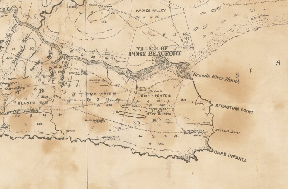
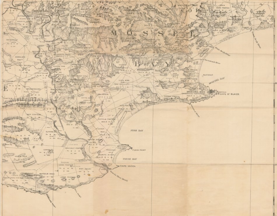
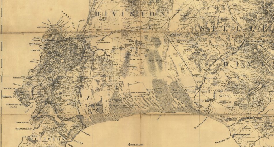
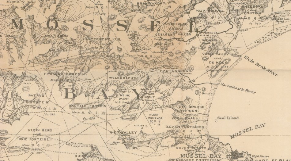
Cape Southern Districts @ 1880/1900 Set of 14 Digital Maps Digital Download
Digital product
New
R350.00
Closed
13 May 24 13:01
Shipping
Free digital delivery
This is a digital product (eg. voucher, product license, service, etc.) and does not require shipping.
The seller will be in contact to deliver this product to you electronically.
Ready to ship in
The seller has indicated that they will usually have this item
ready to ship within 3 business days. Shipping time depends on your delivery address. The most
accurate delivery time will be calculated at checkout, but in
general, the following shipping times apply:
Standard Delivery
| Main centres: | 1-3 business days |
| Regional areas: | 3-4 business days |
| Remote areas: | 3-5 business days |
Returns
Get it now, pay later
Seller
Buyer Protection
Product details
Condition
New
Location
South Africa
Area
Africa
Time Period
1800s
Type
Political Map
Bob Shop ID
612284262