This is a digital product (eg. voucher, product license, service, etc.) and does not require shipping.
The seller will be in contact to deliver this product to you electronically.
The seller has indicated that they will usually have this item
ready to ship within 3 business days.
Shipping time depends on your delivery address.
The most accurate delivery time will be calculated at checkout,
but in general, the following shipping times apply:
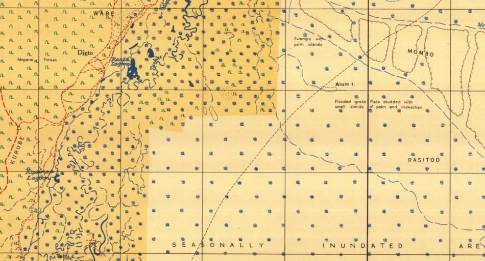
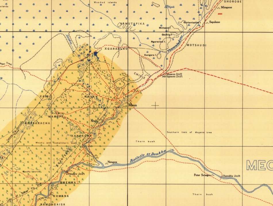
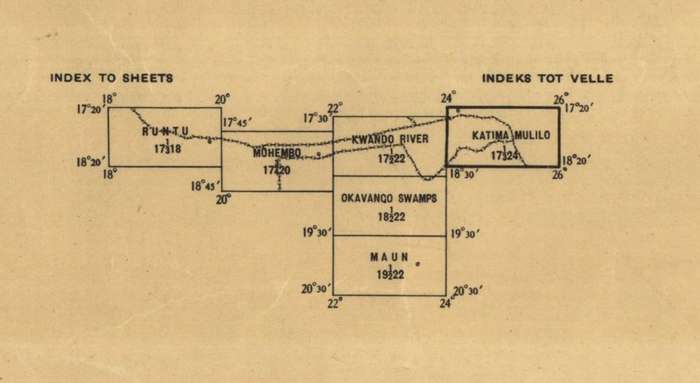
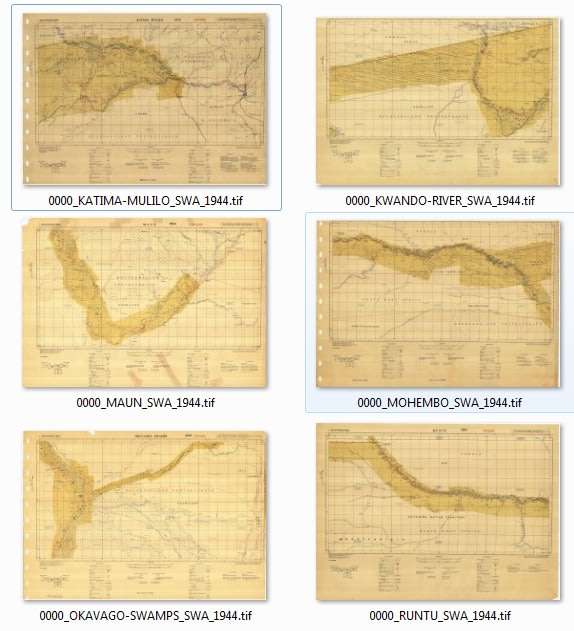
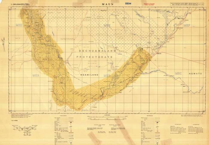
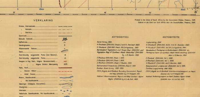
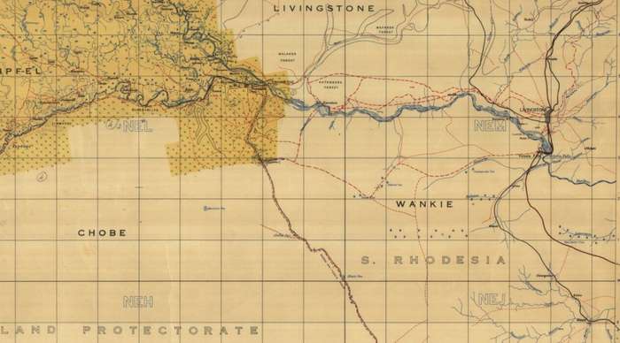
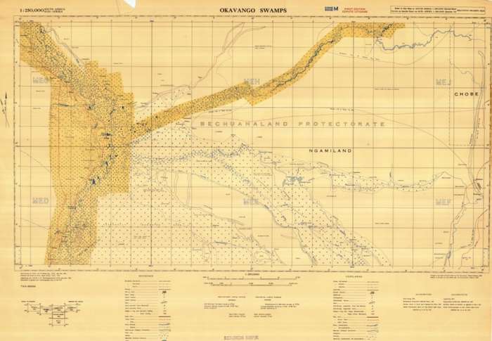
Title: Caprivi Strip and Okavango Delta 1945 6 x Maps Digital Download. Publisher: Union Of South Africa Government Printer Pretoria 1949. Aerial Survey: SAAF and 45 Survey Coy - Union Defence Force July - Nov 1944. Compiled and Drawn by: Survey Depot (Tech) Union Defence Force July - 1945. Format: Vintage Printed Maps that have been scanned and saved as Tiff images. Printed Size on a large format printer would be as follows:- Height: @ 70cm. Width: 90cm. File Size: Total of 6 Files 295MB. Total Number of Files: 6 x Tiff images @ 40MB to 60MB each Info: Early 1940's Survey of the Caprivi Strip with the Zambezi River area to Livingstone and the Victoria Falls and The Okavango Delta. Includes Runtu, Katima Mulilo and Maun Okavango areas. On completion of the order and receipt of payment a WeTransfer link will be forwarded to your e-mail address for downloading of the files. Great for printing and framing any area required and displaying in the Study or Bar area. Scale: 1: 250 000. Condition: Digital Download. Price: R 355.00 Inc Vat.