

Cederberg: The Touring Map (16th Edition)
Check my rate
View locations
| Main centres: | 1-3 business days |
| Regional areas: | 3-4 business days |
| Remote areas: | 3-5 business days |


| Main centres: | 1-3 business days |
| Regional areas: | 3-4 business days |
| Remote areas: | 3-5 business days |
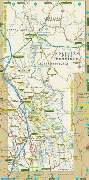
Side one of this double-sided map covers the whole of the Cederberg, from Gifberg in the north to Op die Berg in the south, and includes the towns of Clanwilliam, Citrusdal, Piketberg, Wupperthal, Porterville and Eendekuil.
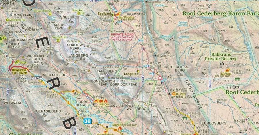
The map shows all roads in the area, from National Highways to 4×4 routes
The condition of minor roads in wet and dry weather is indicated
GPS coordinates are marked at every major road junction in mm format
Mountain biking, horse riding, nature reserves, river rafting, golf and hiking facilities, farm stalls, historic sites, wine estates and many other attractions are carefully plotted
Tourism information offices, police stations and all kinds of accommodation from lodges to backpackers and camp- sites are shown with their telephone numbers
The boundaries of the Wilderness Area, conservancies, are clearly indicated
Side two is an extension of the map northwards to Loeriesfontein, and including Nieuwoudtville, Calvinia, Klawer, and Vanrhynsdorp. The level of detail is the same as Side One but the scale is slightly reduced to enable the map to offer a full sweep of country, from the Knersvlakte to the Hantam and Roggeveld. This is the heart of South Africa's spring flower wonderland.
A General Reference Map of the West Coast area from the Atlantic Ocean to the Karoo & from Loeriesfontein [north] to Moorreesburg [south], at a scale of 1:1 500 000
A photographic view of the entire Cederberg Mountain range is annotated with the names of all the prominent peaks