This auction has been won.
View other items offered by Serato6848
Leading
1shaunfisher24 1 × R870.00
9 May 15:40
Runner-up
hillt51 1 × R820.00
8 May 16:36

Similar products

Kwa-Zulu Natal Provincial Map - Digital Download
R120.00
Munro & Corbett Mountain Wall Chart / Map | Scotland
R150.00
1888 Chart of The World, Excellent condition, Original Cram Map
R595.00
GERMAN EAST AFRICA MAHENGE MAP GFE F5 CIRCA 1916
R1,500.00
Circa 1855 CHART OF PORT NATAL MAP - Genuine
Sold

Circa 1855 CHART OF PORT NATAL MAP - Genuine

1 was available / secondhand
R50.00 minimum increment
R870.00
Shipping
R35.00 Standard shipping using one of our trusted couriers applies to most areas in South Africa. Some areas may attract a R30.00 surcharge. This will be calculated at checkout if applicable.
Check my rate
The seller has indicated that they will usually have this item ready to ship within 3 business days. Shipping time depends on your delivery address. The most accurate delivery time will be calculated at checkout, but in general, the following shipping times apply:
 
Standard Delivery
Main centres:  1-3 business days
Regional areas: 3-4 business days
Remote areas: 3-5 business days
Buyer protection

Product details

Condition
Secondhand
Location
South Africa
Product code
BBportnatal
Bob Shop ID
64986291

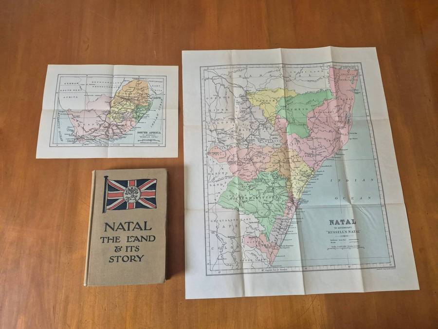
As Per Scans.Circa 1855 CHART OF PORT NATAL MAP -This Map is Genuine and not a Reprint

Very Old Map of Early NATAL

SIZE : 27.8 cm x 22 cm

NO FOREIGN BIDDERS !

SHIPPING WITHIN SOUTH AFRICA ONLY !

SOLD AS IS


Recently viewed

See more
The Dead Sea Scrolls Deception
R150.00
Union of SA - 2/6 - 1913 - MM
R695.00 No bids
ULTIMATE O2 BOOST NATURAL FLAVOUR 12L
R273.90
Onmoontlike Getuienis - Nossack
R90.00