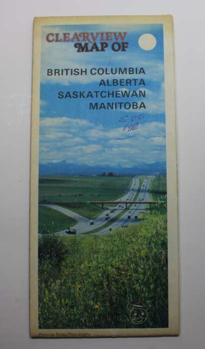
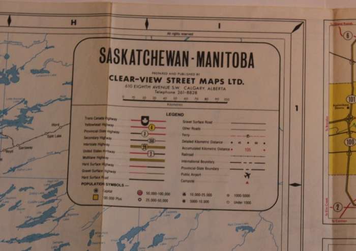
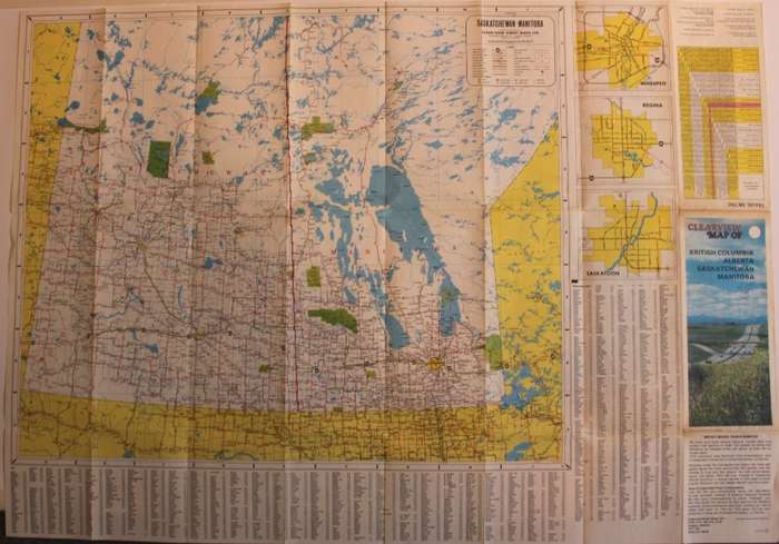
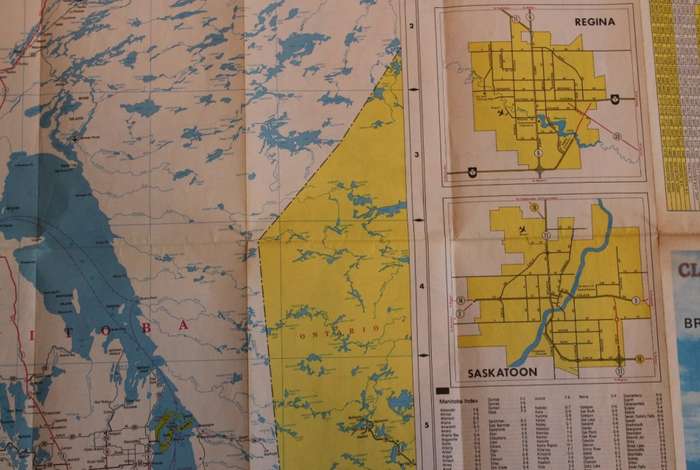
Clearview Folded Road Map West Canada and Central Canada 1970`s Clearview Folded Road Map West Canada and Central Canada 1970`s Clearview Folded Road Map West Canada and Central Canada 1970`s Clearview Folded Road Map West Canada and Central Canada 1970`s Clearview Folded Road Map West Canada and Central Canada 1970`s Clearview Folded Road Map West Canada and Central Canada 1970`s Clearview Folded Road Map West Canada and Central Canada 1970`s Clearview Folded Road Map West Canada and Central Canada 1970`s Clearview Folded Road Map West Canada and Central Canada 1970`s Clearview Folded Road Map West Canada and Central Canada 1970`s
Clearview Folded Road Map West Canada and Central Canada 1970`s Clearview Folded Road Map West Canada and Central Canada 1970`s Clearview Folded Road Map West Canada and Central Canada 1970`s Clearview Folded Road Map West Canada and Central Canada 1970`s
Clearview Folded Road Map West Canada and Central Canada 1970`s
+6

Clearview Folded Road Map West Canada and Central Canada 1970`s

Secondhand 1 available
R125.00
Shipping
Free shipping is available from CapeCollectables for all orders above R1,500.00, using one of our trusted couriers.
Check my rate
The seller allows collection for this item. Buyers will receive the collection address and time once the order is ready.
The seller has indicated that they will usually have this item ready to ship within 3 business days. Shipping time depends on your delivery address. The most accurate delivery time will be calculated at checkout, but in general, the following shipping times apply:
 
Standard Delivery
Main centres:  1-3 business days
Regional areas: 3-4 business days
Remote areas: 3-5 business days
Seller
Buyer protection
Get it now, pay later

Product details

Condition
Secondhand
Location
South Africa
Area
The Americas
Time Period
Post-1950
Type
Political Map
Product code
8327651
Bob Shop ID
631481353

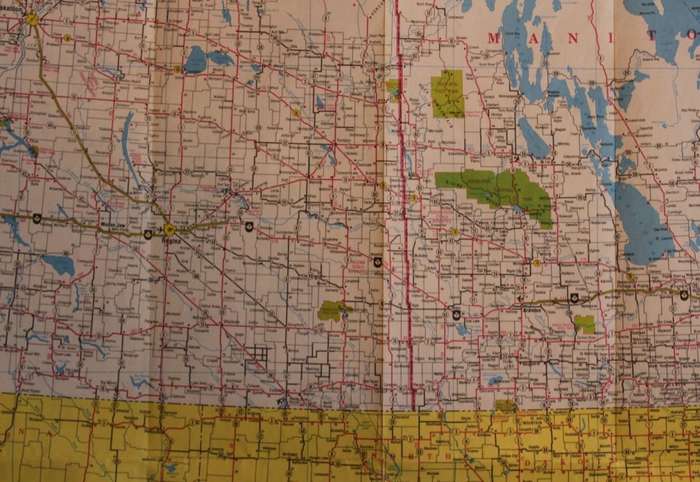
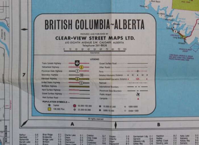
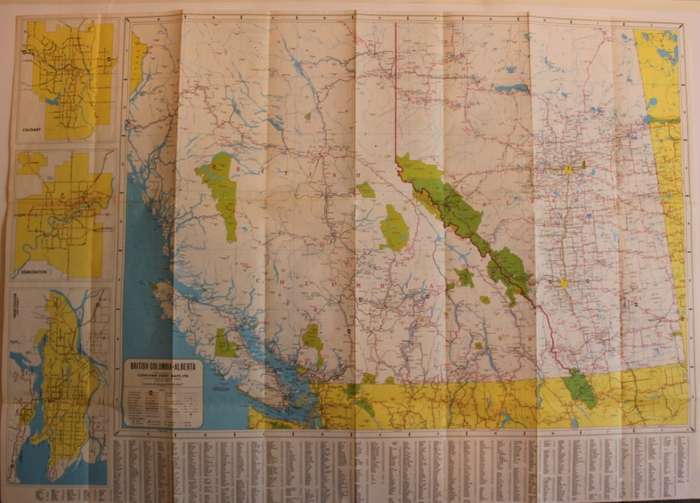
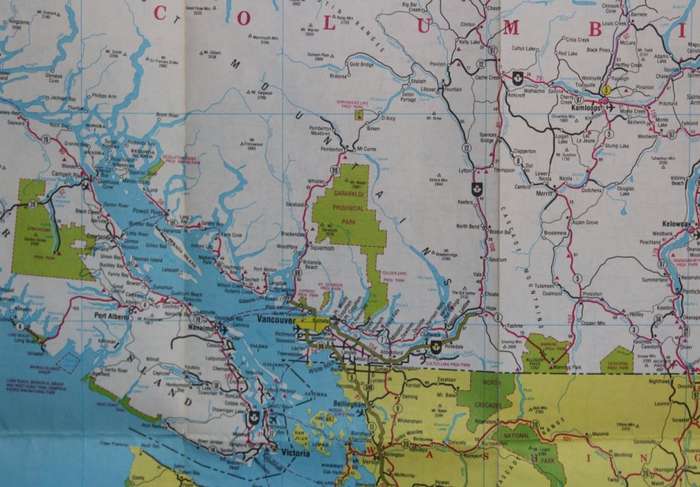
 Title: Clearview Folded Road Map West Canada and Central Canada 1970's.
Publisher: Clear View Street Maps Ltd, Calgary, Alberta .
Format: Folded Map.
Height: 57cm.
Width: 81cm.
Info: Road Map of Saskatchewan and Manitoba States on 1 x side and Road map of British Columbia and Alberta on the other with inserts of City layouts such as Vancouver, Calgary and Winnipeg and others. KM distance Chart. Town and City Index.
Scale: 1: 20 000 000 / 1cm = 20Km's
Condition: Very Good, no tears or holes on the map.
Price: R 125.00 Inc Vat.


Add to cart

Recently viewed

See more
Majuba - Die Onafhanklikheidsoorlog van die Transvaalse Afrikaners 1880/81
Secondhand
R180.00
Eurolux LED Lamp J118 R7s 10W 1000lm Cool White
New
R151.00
Disp 7-seg ca green 12.6mm bda502g
New
R49.61
1pc 2D Flat Acrylic Flat Cute Teddy Dog Keychain with Backpack Yellow Sweater White Sneak
New
R67.00 No bids

Similar products

National Geographic Folded Map of Atlantic Canada October 1993.
Secondhand
R195.00
National Geographic Folded Map Close Up Canada Series Saskatchewan Manitoba May 1979
Secondhand
R155.00
National Geographic Folded Map of the Prairie Provinces of Canada December 1994
Secondhand
R195.00
National Geographic Folded Map The Making Of Canada Series British Columbia April 1992
Secondhand
R125.00