Comitatus Northumbria Northumberland England - Joannes Blaeu 1645-1648 Ref. MP-3
Secondhand
Shipping
Standard courier shipping from R30
R30 Standard shipping using one of our trusted couriers applies to most areas in South Africa. Some areas may attract a R30 surcharge. This will be calculated at checkout if applicable.
Check my rate
Check my rate
Ready to ship in
The seller has indicated that they will usually have this item
ready to ship within 3 business days. Shipping time depends on your delivery address. The most
accurate delivery time will be calculated at checkout, but in
general, the following shipping times apply:
Standard Delivery
| Main centres: | 1-3 business days |
| Regional areas: | 3-4 business days |
| Remote areas: | 3-5 business days |
Buyer Protection
How you're covered
Get it now, pay later
Product information
Condition:
Secondhand
Location:
South Africa
Area:
Europe
Time Period:
Pre-1800s
Type:
Physical Map
Bob Shop ID:
612707065
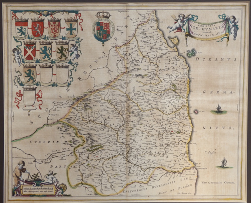
Comitatus Northumbria Northumberland England - Joannes Blaeu 1645-1648 Ref. MP-3
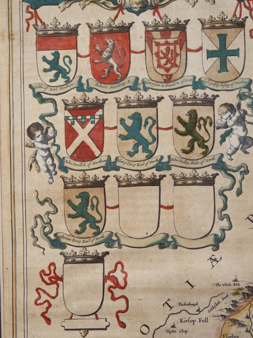
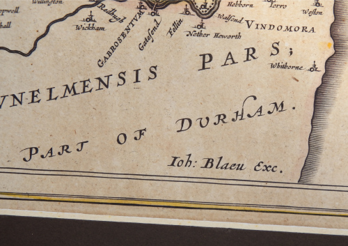
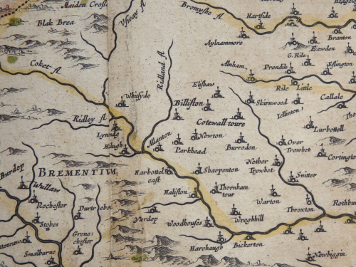
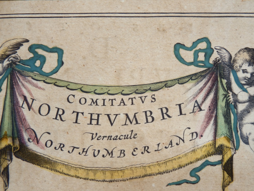
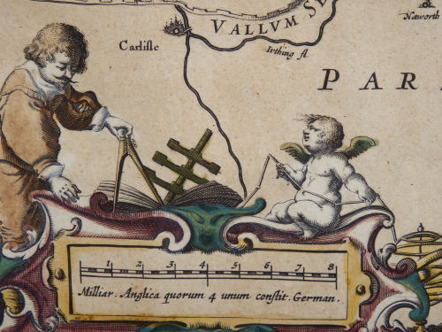
 This fine and highly decorative map of Northumberland' in England was published in Theatrum Orbis Terrarum, sive Atlas Novus - Part IV", Amsterdam, by Joannis and Willem Blaeu, 1645- 1648.
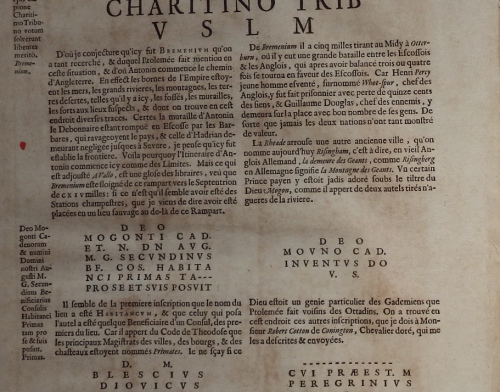
 The Novus Atlas was initially printed in two volumes, and published in four languages, namely, Dutch, French, Latin and German, but, by 1655, it had developed into six volumes. The map offered above is from a French edition, printed in 1645-1646 ( see the photo of the back of the map showing the French translation).Theatrum Orbis Terrarum eventually evolved into the magnificent "Atlas Maior", known as one of the most important atlases ever published and, the most expensive!!
So great was the name of the Blaeu maps, that the Dutch painter, Johannes Vermeer (1632-1675), shows Blaeus map of Holland and North Friesland in three of his paintings.
The map, showing a centrefold, remains in relatively good condition. There is some slight foxing throughout and a small hole near the top edge of the map (covered by the mount). The page measures roughly 59cm X 49cm and the map itself roughly 50cm x 40cm. A strong plate mark is evident, caused by the pressure exerted on the coppersheet, a good indication that the map is genuine.
Please note, I am NOT a qualified archaeologist/antiquarian and the description I have given is based on research of the subject.
This is a genuine antique. Please remember the classification of an 'antique' is that it should be 100 years old, OR MORE. There are many articles being offered as 'antiques' when, clearly, they are not.
Price R5000.00
Terms: We offer a strict three-day approval period from the date the parcel reaches you. Refunds/credits are based on the cost of the article, NOT including delivery charges. Please advise us within this period whether you would like to return any article for a refund/credit. Although we pride ourselves in our packing, the buyer remains responsible for loss, non-arrival or damage to goods being sent to, or returned.