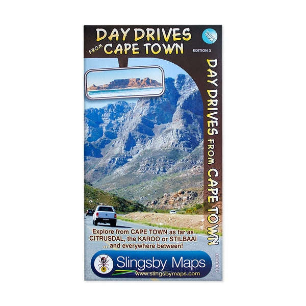


Day Drives From Cape Town
Check my rate
View locations
| Main centres: | 1-3 business days |
| Regional areas: | 3-4 business days |
| Remote areas: | 3-5 business days |


| Main centres: | 1-3 business days |
| Regional areas: | 3-4 business days |
| Remote areas: | 3-5 business days |
Slingsby Day Drives from Cape Town Map
Our Day Drives from Cape Town map is the most comprehensive map available of the heartland of the Western Cape.
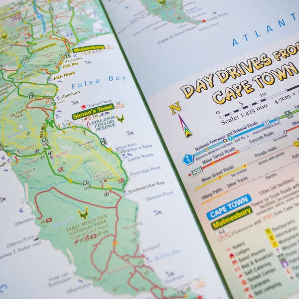
The map shows all the roads, towns and relief of the area from Cape Town north to Citrusdal, north-east to Laingsburg and east to Stilbaai / Albertinia: all destinations within easy motoring reach of Cape Town.
The most important tourist features are included, with 'smiling faces' indicating the most scenic routes.
Side one:
This side covers the area from Cape Town, up the west coast to Velddrif and across via Aurira and Piketberg to Citrusdal and the Kouebokkeveld.
Ceres, Worcester, Stanford and Gansbaai mark the eastern edge of Side 1, which also includes a useful enlargement of the Cape Peninsula, at a scale of 1:200 000.
Side two:
On this side [there is a small, useful overlap] and the map will take you via Touwsrivier to Laingsburg and the southern Tankwa.
Travel south via Calitzdorp, Ladismith and Riversdale to Stilbaai, and then west back to Cape Agulhas, Napier, McGregor and Robertson with all the great destinations in between.
All roads ( tar and gravel) are shown with accurate mileages between major junctions.
Full GPS details are shown at every major road-junction in DDMMSS format.
Particularly scenic routes are marked with smiley faces
Major mountain biking, horse riding, nature reserves, river rafting, golf and hiking facilities, farm stalls, historic sites and many other attractions are carefully plotted.
Tourism information and all kinds of accommodation from out-of-town lodges to back packers and campsites are shown.
Technicals:
A2+ double-sided full colour map
Scale1:425 000 [4.7cm = 20km]
Relief shading shows mountain ranges and high ground
Coords in DDMMSS format at every road-junction