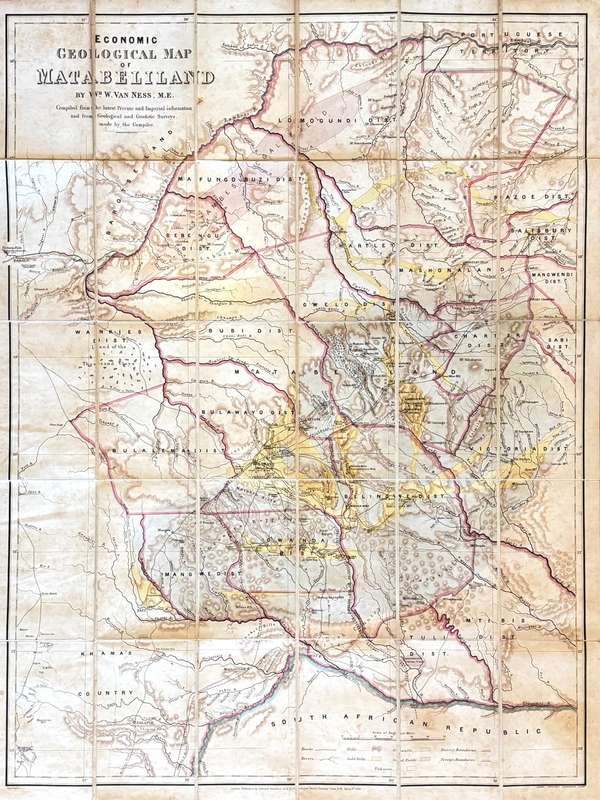


Economic Geological Map of Matabeliland - Van Ness, Wm. W.
Check my rate
| Main centres: | 1-3 business days |
| Regional areas: | 3-4 business days |
| Remote areas: | 3-5 business days |


| Main centres: | 1-3 business days |
| Regional areas: | 3-4 business days |
| Remote areas: | 3-5 business days |
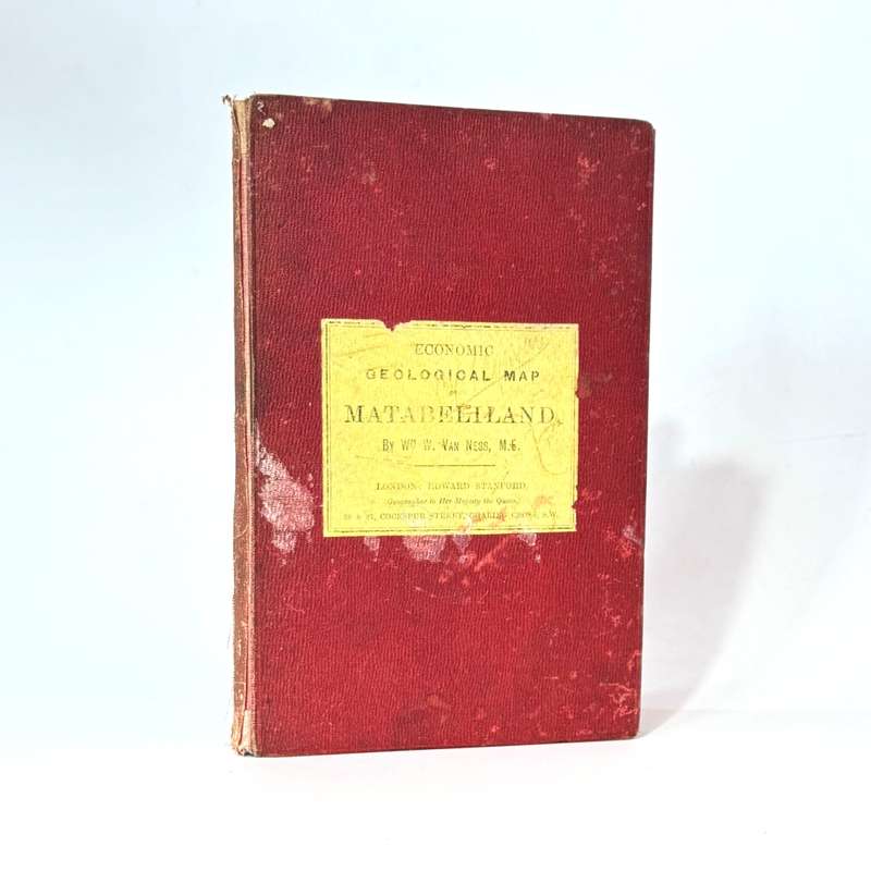
Lithographed in colours and laid down on linen. Highly detailed - showing towns, rivers, roads, gold belts, coal fields, trading stores and proposed railway lines from Mafeking to Bulawayo, Salsbury and Beira, and the suggested extension of the Pretoria, Pietersberg railway via Gold-Field. Numerous reefs, mines, camps and stores are shown along with the residence of F.C. Selous Esq. Worldcat cites only five institutions worldwide holding copies: The Natural History Museum, University of Oxford, British Library, Bibliotheque National and the National Library of South Africa. It is also referenced in the cartographer's book Big Game Shooting and Exploration in Rhodesia - Being an Account of an Expedition to the San-Yati River, Matabeleland. Folding map in red cloth binder. Inscribed inside the front board: "To Captain Norris Newman with the compliments of compiler Wm. W. Van Ness Me." Charles Louis Marie William Norris-Newman (22 August 1852 May 1920), British adventurer and journalist authored In Matabeleland and How we got it. (1895) Also In Zululand: With the British Throughout the War of 1879 (1880) and With the Boers in the Transvaal and the Orange Free State 1880-1881. (1892). A larger than life character the mold of Flashman. Norris Newman was amongst many things - an intelligence officer in the Russian Navy, he was present at the Siege of Paris (1870-71), accompanied Infanti Carlos Duke of Madrid during the 3rd Christ War (1872-76). In 1871 he was the only newspaper correspondent with British forces in fading Zululand. He narrowly avoided death at the Battle of Isandlwana the list goes on. Ref: 1879zuluwar.com, victorianwars.com
Publisher: Edward Stanford
Date Published: 1896
Publication Place: London
First Edition: Yes
Condition: Very good.