This item has closed with no items sold
View other items offered by Heritage Trades540

Similar products

Odhams new atlas of the world
R50
R30 shipping
Book-1983-New World Atlas/224pages
R100
R30 shipping
The Readers Digest World Atlas
R195
Map Studio Compact World Atlas Hard Cover Book
R95

Edward Gibbon`s Atlas of the World

New
R650.00
Closed 9 May 24 09:46
Shipping
Standard courier shipping from R30
R30 Standard shipping using one of our trusted couriers applies to most areas in South Africa. Some areas may attract a R30 surcharge. This will be calculated at checkout if applicable.
Check my rate
Free collection from Emmarentia, Johannesburg
The seller allows collection for this item and will be in contact with the full collection address once the order is ready. Ready for collection by Thursday, 13 June.
Ready to ship in
The seller has indicated that they will usually have this item ready to ship within 10 business days. Shipping time depends on your delivery address. The most accurate delivery time will be calculated at checkout, but in general, the following shipping times apply:
 
Standard Delivery
Main centres:  1-3 business days
Regional areas: 3-4 business days
Remote areas: 3-5 business days
Get it now, pay later
Buyer Protection

Product details

Condition
New
Location
South Africa
Product code
bhc2
Bob Shop ID
614312562

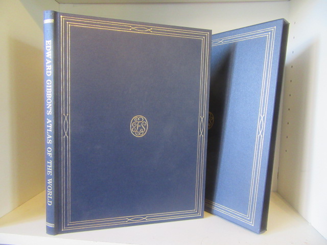
Published by Folio Society, London, 1991, slipcase, index, 116 pages, 26.7 cms x 36 cms, condition: as new.

A selection of maps that Gibbon will have drawn on when writing his works, with respective modern versions. Intro and commentary Felipe Fernandez-Armesto; modern maps and index gazetteer by Andrew Heritage and P J M Geelan.

Gibbon loved maps and lived at a time when mapmaking was being transformed by a technical revolution. So rapid and far-reaching were the changes in progress in his day that in spite of his efforts to keep up with the latest advances in cartography, Gibbon was compelled to rely, in writing the Decline and Fall, on maps that were already out-of-date. Much of the great mental canvas of the old world, on which he depicted the movements of armies, people and trade, was painted onto backgrounds mapped in the early or mid-eighteenth century or even, in some cases, in the seventeenth. Some of the best maps in his own library were not acquired until the late 1780s, when his History was already complete, or nearly so . The most far-reaching changes in scientific cartography in his day came too late to influence the maps available to him. Yet in his unremitting efforts to make sense of the bewildering peregrinations of the people he wrote about in ill-chronicled journeys over little-known terrain he probably became as well informed as almost any scholar of his age on the geography of the Eurasian landmass and northern Africa.

  • Folio Society First Impression No. 703
  • Publisher Folio Society, London; 1991
  • Blue Cloth Hardback, 116 pp
  • Reproduction antique maps and other illustrations


More from this seller

View all
R30 shipping
A Century of Anglo-Boer War Stories
R200
R30 shipping
20% OFF
A Mind For Numbers: How to Excel at Math and Science
R200 R250
R30 shipping
Painted Shadow: A Life of Vivienne Eliot
R350
R30 shipping
BMW R850, 1100 & 1150, 4 - valve Twins 1993-2004 (Haynes Service And Repair Manual)
R650

Recently viewed

See more
R30 shipping
7% OFF
Lenovo 100 Wireless Keyboard and Mouse Combo 4X31N94475
R430 R460
R30 shipping
Prince of Persia Trilogy `PC`
R149
R30 shipping
An Inconvenient Youth Paperback
R175
R30 shipping
Game of Thrones Ps3
R250