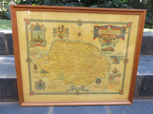
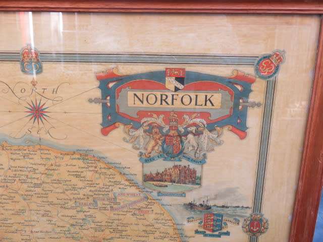
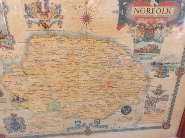
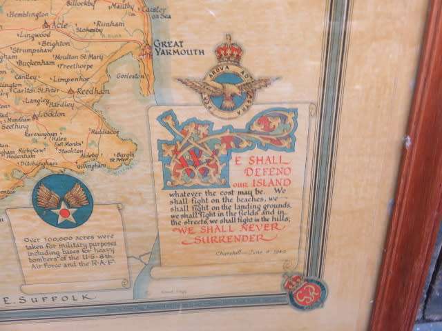
Ernest Clegg World War II era map of the county of Norfolk Ernest Clegg World War II era map of the county of Norfolk Ernest Clegg World War II era map of the county of Norfolk Ernest Clegg World War II era map of the county of Norfolk

Ernest Clegg World War II era map of the county of Norfolk

1 available / secondhand
R550.00
Shipping
The seller has indicated that they will usually have this item ready to ship within 3 business days. Shipping time depends on your delivery address. The most accurate delivery time will be calculated at checkout, but in general, the following shipping times apply:
 
Standard Delivery
Main centres:  1-3 business days
Regional areas: 3-4 business days
Remote areas: 3-5 business days
Seller
Buyer protection
Get it now, pay later

Product details

Condition
Secondhand
Location
South Africa
Area
Europe
Time Period
1900-1950
Bob Shop ID
644419044

Printed map of Norfolk by Ernest Clegg to celebrate the end of the Second World War and Norfolk's contribution, especially regarding agriculture. Framed size 63 x 51cm.

Add to cart

Recently viewed

See more
Canada Newfoundland 1897 Definitive 15c bright scarlet very fine used. SG 75. Cat £25 (2018)
R195.00
30% OFF
Die Afrikaanse LiteratuurSedert Sestig - T.T.Cloete en Ander
R230.00 R330.00
Various - Love Is a Battlefield CD Import
R89.00
40% OFF
BOX AGAINST OFFICE
R149.99 R249.99

Similar products

Vintage Map of County of Hampshire England, by Wrightsons Foil Graphics
R495.00
13% OFF
WORLD WALL MAP National Geographic
R1,050.00 R1,200.00
1892 Map of The World, Excellent condition, Original Chambers Map
R615.00
New Worlds: Maps from the Age of Discovery
R385.00