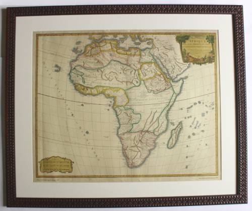
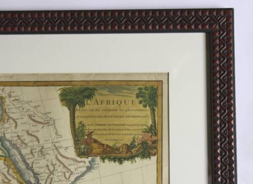
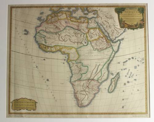
Framed Reproduction Print of map L`Afrique Dresee By Robert de Vaugondy 1756
1 was available / secondhand
R500.00
0% off
Shipping
Free shipping is available from CapeCollectables for all orders above R1,500.00, using one of our trusted couriers. Check my rate
The seller allows collection for this item. Buyers will receive the collection address and time once the order is ready.
The seller has indicated that they will usually have this item
ready to ship within 3 business days.
Shipping time depends on your delivery address.
The most accurate delivery time will be calculated at checkout,
but in general, the following shipping times apply:
Money-Back Guarantee:
7 Days: Excludes Cost Of Shipping
Get it now, pay later
Product details
Condition
Secondhand
Location
South Africa
Area
Africa
Time Period
Post-1950
Type
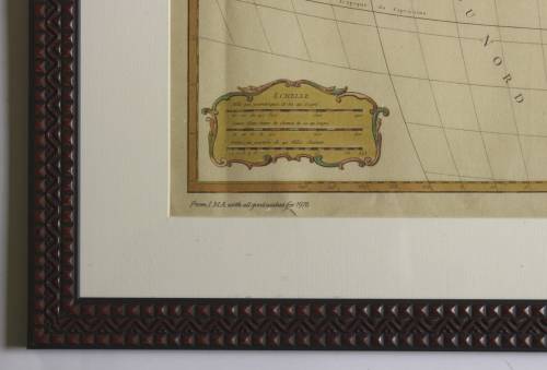
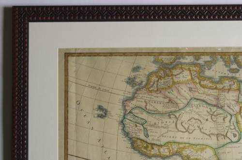
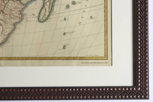
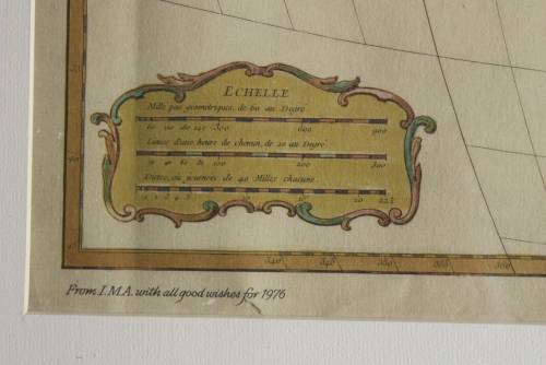
Physical Map
Bob Shop ID
624199183
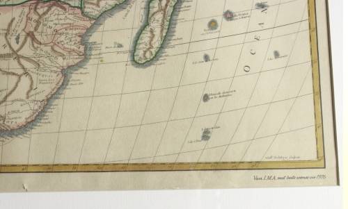
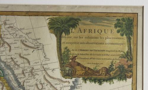
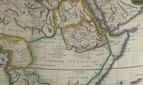
Title: Framed Reproduction Print of map L'Afrique Dresee By Robert de Vaugondy 1756. Format: Reproduction Print newly framed. Height: 61cm. Width: 73cm. Depth: 2.0cm. First Published: 1756. Info: A beautifully drawn map that has been newly framed that would grace any modern study or library. "L'Afrique dressee, sur les relations le plus recentes, et assujettie aux observations astronomiques Par le Sr. Robert de Vaugondy Geog?ord? du Roy, de Sa M. Polon? Duc de Lorraine et de Bar et Associe de l'Academie Royale des Sciences et B. Lettres de Nancy, avec privilege 1756." Originally for the Atlas Universal Paris: The map comes from Didier Robert de Vaugondy atlas Atlas Universel Paris: chez les auteurs & Boudet. published in Paris in 1756. Cartouche illustrates a woman reclining between two palms. Interior of Southern Africa is fairly blank other than tribal names, the Prime meridian is through Ferro Island. Gilles Robert de Vaugondy (16881766), also known as Le Sieur or Monsieur Robert, and his son, Didier Robert de Vaugondy (c.17231786), were leading cartographers in France during the 18th century. In 1757, Gilles and Didier Robert De Vaugondy published The Atlas Universel, one of the most important atlases of the 18th century. To produce the atlas, the Vaugondys integrated older sources with more modern surveyed maps. Engraver: Guillaume-Nicolas Delahaye. Condition: Good, a rescued map that has been newly framed, with some minor evidence of the age of the reproduction from 1976. Inscription of "From I.M.A with all good wishes for 1976" on the bottom bottom left and "Van I.M.A met beste wense vir 1976" on the bottom right of map. Price: R 500.00 Inc Vat.