
Full Set of SA 1: 50 000 Topographical Maps on 32GB USB Flash Drive Digital Format
New
Shipping
Standard courier shipping from R30
R30 Standard shipping using one of our trusted couriers applies to most areas in South Africa. Some areas may attract a R30 surcharge. This will be calculated at checkout if applicable.
Check my rate
Check my rate
Free collection from
Kuils River, Cape Town
The seller allows collection for this item and will be in contact with the full collection address once the order is ready.
Ready for collection by Friday, 17 May.
Ready to ship in
The seller has indicated that they will usually have this item
ready to ship within 3 business days. Shipping time depends on your delivery address. The most
accurate delivery time will be calculated at checkout, but in
general, the following shipping times apply:
Standard Delivery
| Main centres: | 1-3 business days |
| Regional areas: | 3-4 business days |
| Remote areas: | 3-5 business days |
Returns
Get it now, pay later
Seller
Buyer Protection
Product details
Condition
New
Location
South Africa
Area
Africa
Time Period
Post-1950
Type
Political Map
Bob Shop ID
613914624
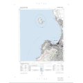
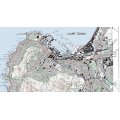
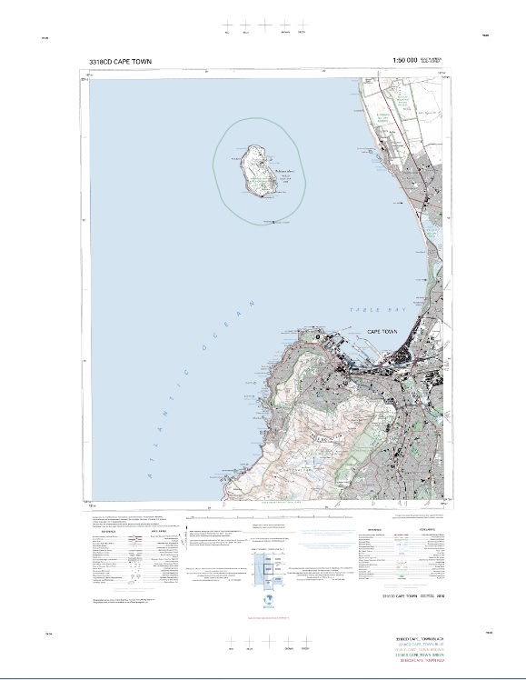
Title: Full Set of SA 1: 50 000 Topographical Maps on 32GB USB Flash Drive, Digital Format.
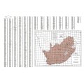
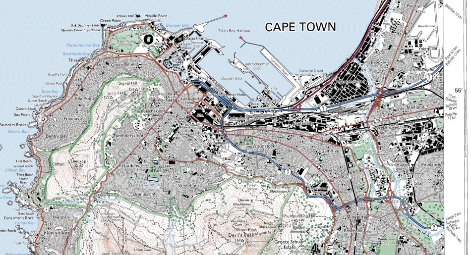
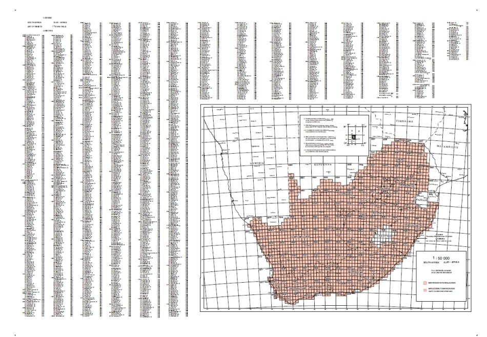
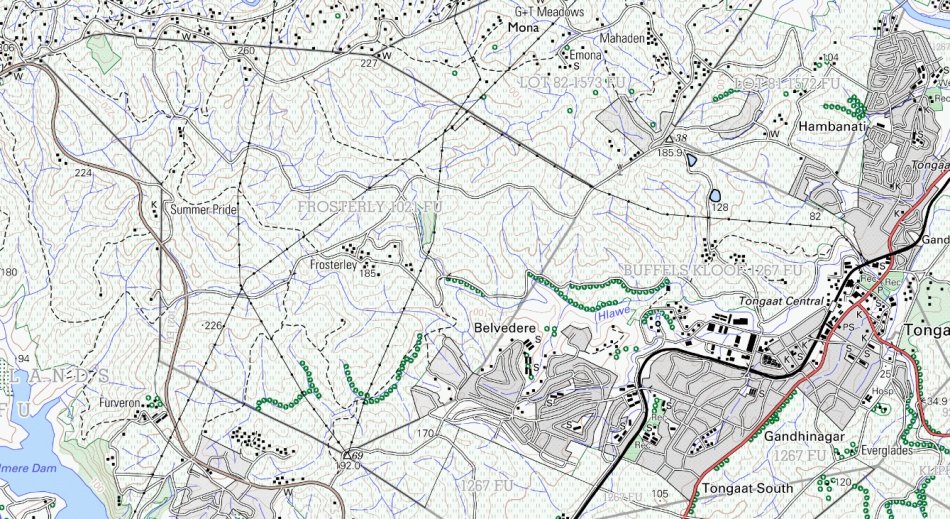
Format: Covers the whole country - 1:50 000 Topographical Maps of South Africa.
Over 1900 SA Topographical Maps.
Latest produced set that is as up to date as possible.
Includes Reference Grid Map and Open Source GIS Software for viewing the maps.
All on a 32GB USB Flash Drive 3.0.
Can be printed on large format printer if required - A1, A2 or even A0 size.
Normal printed size of approx 80cm High x 60cm Wide.
Approx size of Tiff images are 10MB - 20MB.
View Farm Names, Boundaries and Erf numbers of Properties.
Detail: The 1:50 000 topographical maps are the largest scale maps providing full coverage of South Africa.
The series consists of a total of 1916 sheets.
They accurately depict the location of natural and man-made features by means of symbols and colour, and elevation by means of spot heights and contours (20 m interval).
Additional information added are place names, boundaries, magnetic data, etc.
These maps contain essential information for planning and decision making but also have many other uses.
Price for the Digital set on 32GB USB Flash Drive: R 595.00 Inc Vat.
![]()