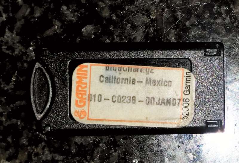


Garmin Bluechart G2 California Mexico
1 was available / secondhand
Indicative market price:
R3,500.00
47% off
Shipping
This product qualifies for free shipping in South Africa, using one of our trusted couriers. Offers below R150.00 do not qualify for free shipping.
Check my rate
Check my rate
The seller has indicated that they will usually have this item
ready to ship within 2 business days.
Shipping time depends on your delivery address.
The most accurate delivery time will be calculated at checkout,
but in general, the following shipping times apply:
Standard Delivery
| Main centres: | 1-3 business days |
| Regional areas: | 3-4 business days |
| Remote areas: | 3-5 business days |
Seller
Get it now, pay later