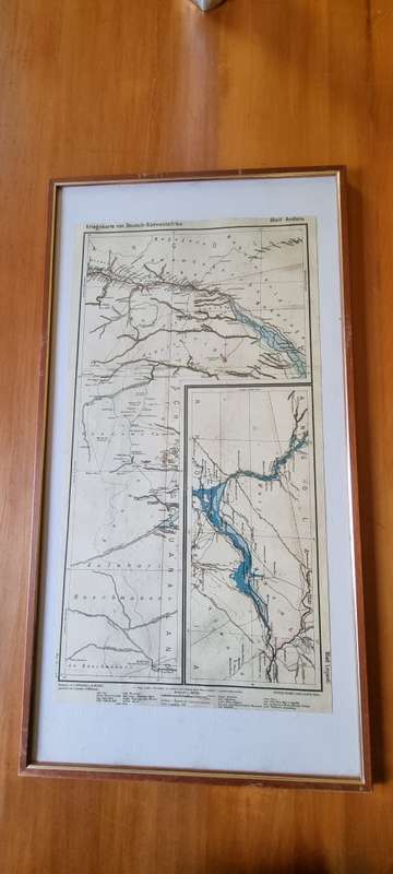
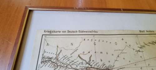
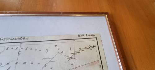
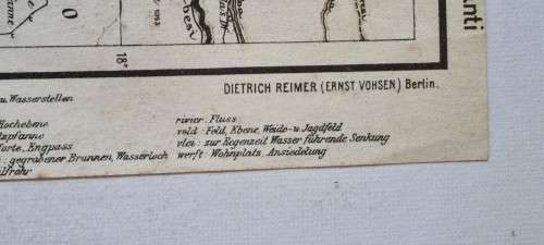
German 1904 War Map of Caprivi area, Kriegskarte von Deutsch-Sudwestafrika. 1987 National Archives German 1904 War Map of Caprivi area, Kriegskarte von Deutsch-Sudwestafrika. 1987 National Archives German 1904 War Map of Caprivi area, Kriegskarte von Deutsch-Sudwestafrika. 1987 National Archives German 1904 War Map of Caprivi area, Kriegskarte von Deutsch-Sudwestafrika. 1987 National Archives German 1904 War Map of Caprivi area, Kriegskarte von Deutsch-Sudwestafrika. 1987 National Archives German 1904 War Map of Caprivi area, Kriegskarte von Deutsch-Sudwestafrika. 1987 National Archives German 1904 War Map of Caprivi area, Kriegskarte von Deutsch-Sudwestafrika. 1987 National Archives German 1904 War Map of Caprivi area, Kriegskarte von Deutsch-Sudwestafrika. 1987 National Archives German 1904 War Map of Caprivi area, Kriegskarte von Deutsch-Sudwestafrika. 1987 National Archives
German 1904 War Map of Caprivi area, Kriegskarte von Deutsch-Sudwestafrika. 1987 National Archives German 1904 War Map of Caprivi area, Kriegskarte von Deutsch-Sudwestafrika. 1987 National Archives German 1904 War Map of Caprivi area, Kriegskarte von Deutsch-Sudwestafrika. 1987 National Archives German 1904 War Map of Caprivi area, Kriegskarte von Deutsch-Sudwestafrika. 1987 National Archives
German 1904 War Map of Caprivi area, Kriegskarte von Deutsch-Sudwestafrika. 1987 National Archives
+5

German 1904 War Map of Caprivi area, Kriegskarte von Deutsch-Sudwestafrika. 1987 National Archives

Secondhand 1 available
R395.00
Shipping
R35.00 Standard shipping using one of our trusted couriers applies to most areas in South Africa. Some areas may attract a R30.00 surcharge. This will be calculated at checkout if applicable.
Check my rate
The seller has indicated that they will usually have this item ready to ship within 3 business days. Shipping time depends on your delivery address. The most accurate delivery time will be calculated at checkout, but in general, the following shipping times apply:
 
Standard Delivery
Main centres:  1-3 business days
Regional areas: 3-4 business days
Remote areas: 3-5 business days
Seller
Buyer protection
Get it now, pay later

Product details

Condition
Secondhand
Location
South Africa
Bob Shop ID
650391218

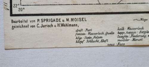
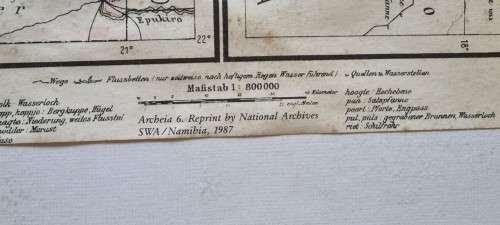
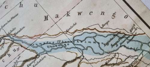
Here we have a large map of the area in Namibia, then German South-West Africa,  around the Caprivi Strip including Andara, Linyanti, part of Botswana. The map was drawn in 1904 by the German authorities then in control of South-West Africa.

Drawn by Dietrich Reimer and Ernst Vohsen in Berlin from work done by P. Sprigade and M. Moisel. Official title is Kriegskarte von Deutsch-Sudwestafrika. Blatt Andara und Blatt Linjanti.

This map is a reprint as re-issued in 1987 by the National Archives of SWA/Namibia as part of their Archeia 6 series.

Map is overall in very good condition with very minimal foxing in the sea area of the map.

Nicely framed in a solid wooden frame with gilt border. Ready to hang on your wall.

Map is 31.5 cm  by 59 cm. Frame is 72.5 cm x 38.5 cm .

Add to cart

Recently viewed

Free shipping
18% OFF
An Jewels Women's Ring (al-rloy1sc-7)
New
R788.01 R959.91

Similar products

National geographic Africa poster map wall map
Secondhand
R270.00
German 1904 War Map Richtersveld , Kriegskarte von Deutsch-Sudwestafrika. 1987 National Archives
Secondhand
R395.00
National Geographic Map of Antarctica 1987 Digital Maps Digital Download
New
R195.00
Free shipping
Old Canvas Map of Upington Area
Secondhand
R750.00